The Geyser Pass Road will be covered in deep and drifted snow. High clearance 4x4 required and it's going to be sporty!
The Lower Utah Nordic Alliance (LUNA) has no plans to groom.
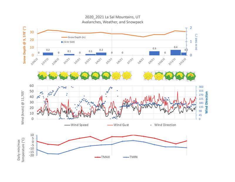
24 Hour Snow 19" 72 Hour Snow 27" Base Depth in Gold Basin 72" Wind NW 10-15 G22 Temp 17F
If I didn't know better I'd think we were in Denver! The much-hyped storm system that remains poised to wallop the Front Range just gave us the biggest dump of the season with nearly two feet of snow since early yesterday morning and it doesn't appear to be over yet! The system began affecting our area on Thursday with 7" of new snow accompanied by strong SW winds on Friday. After a brief lull, snowfall picked up again Friday night and hasn't stopped since. Winds yesterday were remarkably calm as they shifted to westerly. Overnight they shifted to the NW and are on the increase. Today look for continued snow with another 4"-6" possible. Blustery NW winds will blow in the 20-30 mph range with gusts into the 40's. A chance for showers will linger this evening with mostly cloudy skies and decreasing but continued blustery NW winds. We'll see partly sunny skies on Monday before the next system arrives on Tuesday.
Snowpack Discussion
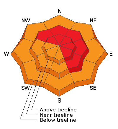
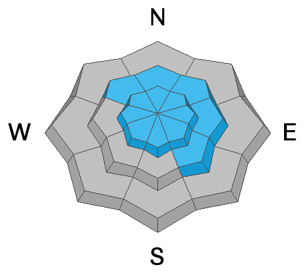
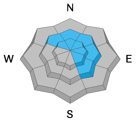
Expect to find deep and drifted snow and dangerous avalanche conditions today. Human-triggered avalanches within the new snow will be likely on steep slopes on all aspects. Human triggered avalanches on steep, wind drifted slopes will be very likely and this may be a significant enough load to reignite our persistent weak layer concerns. Back-country travelers need to have excellent route finding skills and know how to stay off of and out from under all avalanche terrain.


