Forecast for the Moab Area Mountains

Eric Trenbeath
Issued by Eric Trenbeath for
Saturday, February 23, 2019
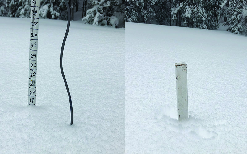
The avalanche danger is CONSIDERABLE today and human triggered avalanches involving new and wind drifted snow are likely. The danger also exists for triggering a deep and dangerous avalanche on a buried, persistent weak layer. Do not let the sunshine and powder fever lure you into a dangerous situation. Let the new snow settle, and let the snowpack adjust to the new load. Conservative decision making will be essential today.
Low
Moderate
Considerable
High
Extreme
Learn how to read the forecast here
Special Announcements
Grand County plowed the road yesterday. Much thanks to them for making sure everyone can get up and enjoy the snow this weekend!
Weather and Snow
Wow, it's been quite a storm cycle! All told, the La Sals picked up close to 3' of snow this week with yesterday's storm delivering 20" of low density, fluffy powder. Down south, the Abajo Mountains picked up 50" of snow at Camp Jackson this week! The storm system is finally sliding east bringing us clearing skies and frigid temperatures. Gold Basin is reporting -3, and it's 7 degrees at the Geyser Pass Trailhead. SE winds yesterday shifted to the NW by afternoon but were light most of the day. Unfortunately, they bumped up around midnight averaging 25 mph with gusts into the 40's. They backed off after 3:00 a.m. and are currently blowing in the 15-25 mph range. Today, look for sunny skies, NW winds at 15-25 mph along ridge tops, and high daytime temps in the low to mid teens.
I made a quick trip up yesterday but did not get above tree line. I found lots of deep, fluffy powder! Nate Ament and company visited the Gold Knob area on the north end of the range and sent in this observation.

New snow totals in Gold Basin (10,000')
Snotel totals at the Geyser Pass Trailhead (9600') y
Wind, temperature, and humidity on Pre Laurel Peak (11,700')
National Weather Service point forecast.
I went up to verify the erratic readings on the Gold Basin snow stake yesterday. Also, it looks like we're going to need an extension on top of our total depth stake! Base depth is 82"! Seasonal average to date is 125%.
Recent Avalanches
I didn't get great views yesterday, but I didn't observe any natural avalanches on the steep slopes I was able to see, and most avalanches from the last storm cycle were confined to the most recent snow. On Tuesday, Feb 19 however, a party of snowmobilers remotely triggered an avalanche from a ridge top. The slab failed on the December persistent weak layer. Details here.
Ad
Avalanche Problem #1
New Snow
Type
Location
Likelihood
Size
Description
Human triggered avalanches within the new snow remain likely today on slopes steeper than 35 degrees. The danger will increase with elevation. Best practice with this much new snow, is to give it a couple of days to settle out and gain strength.
Avalanche Problem #2
Wind Drifted Snow
Type
Location
Likelihood
Size
Description
SE winds during the early part of the storm were plenty strong to blow and drift snow on to northerly aspects, and human triggered avalanches up to 3' deep are likely in these areas. A shift in direction last night will likely have formed fresh drifts on upper elevation, southerly aspects. Drifted slopes are recognizable by their smooth, rounded, or "fat" appearance. Avoid any, steep, wind drifted slope.
Avalanche Problem #3
Persistent Weak Layer
Type
Location
Likelihood
Size
Description
Poor snowpack structure continues to plague the snowpack and persistent weak layers remain a concern. The recent snow load has added a little more stress, and made deep, human triggered avalanches more likely. Tuesday's remotely triggered avalanche is a stark reminder of how real the problem can be. The most likely areas of concern are steep, rocky, northerly facing aspects right around treeline, and in areas where the snowpack is shallow and weak. Avalanche paths that have already run are also suspect. Travel advice remains the same as above, avoid steep, avalanche prone terrain.
Additional Information
Check out this clip of local Moab sledders playing it safe and making sure their beacons are on at the Geyser Pass Trailhead.
General Announcements
Your information can save lives. If you see anything we should know about, please help us out by submitting snow and avalanche observations HERE. You can also call me at 801-647-8896, or send me an email: [email protected].
Support the UAC through your daily shopping. When you shop at Smith's, or online at REI, Backcountry.com, Patagonia, NRS, Amazon, eBay by clicking on these links, they donate a portion of your purchase to the UAC. If you sell on eBay, you can have your See our Affiliate Page for more details on how you can support the UAC when you shop
This advisory is from the U.S.D.A. Forest Service, which is solely responsible for its content. This advisory describes general avalanche conditions and local variations always occur.