Observer Name
Trenbeath
Observation Date
Wednesday, February 20, 2019
Avalanche Date
Tuesday, February 19, 2019
Region
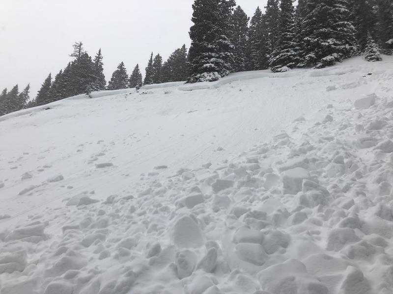
Moab » La Sal Mountains
Location Name or Route
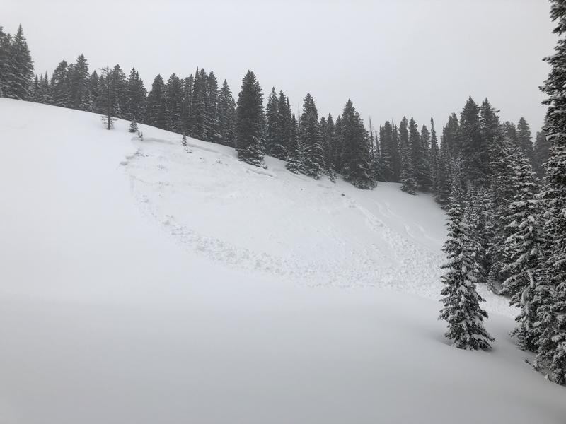
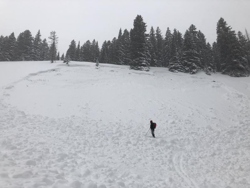
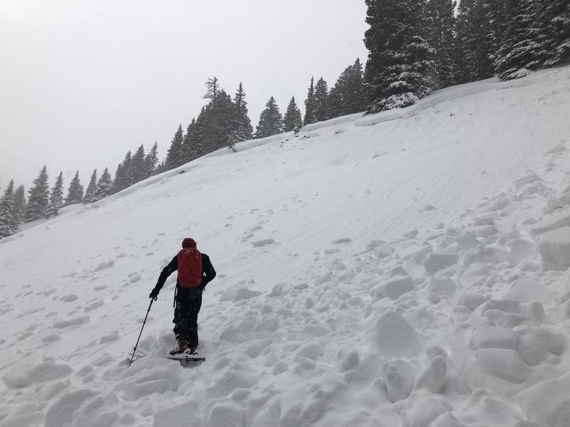
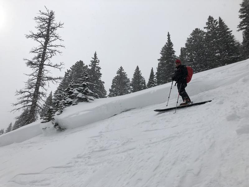
Near Colorado Bowl
Elevation
10,800'
Aspect
East
Slope Angle
37°
Trigger
Snowmobiler
Trigger: additional info
Remotely Triggered
Avalanche Type
Hard Slab
Avalanche Problem
Persistent Weak Layer
Weak Layer
Facets
Depth
2.5'
Width
175'
Vertical
200'
Comments
Avalanche was triggered remotely from the ridge. Slab failure was actually about 500' wide. Slab collapsed and cracked beneath the ridge where the riders were located and the slope angle was around 30 degrees. Failure propagated north along the ridge line for about 200' before taking in a sub ridge. At this point the slope steepened to 37 degrees and the avalanche occurred. Weak layer was the December facets above the October crust. Because of the relatively shallow depth, suspect a repeat runner.
Coordinates


