Forecast for the Moab Area Mountains

Sunday morning, December 7, 2025
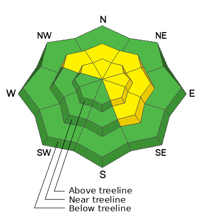


Geyser Pass Road Conditions: The road has been plowed but the surface is snowpacked and slick. All wheel drive and good tires recommended.
Grooming: The Geyser Pass road above the trailhead will close to vehicles on Dec 15. Grooming will commence after that.
Saturday, December 13 - Moab Winter Kick Off Party at the MARC Bring your skis or board to wax, listen to live music, and bring in another winter season with our local community. Tickets available online now!
Friday, January 30 - Saturday, January 31 - Moab Backcountry 101 Class - Our annual local backcountry avalanche class. Click here for information and registration. Moab and Monticello locals can use the discount code MOAB-LOCAL for a 10% discount.
24 Hour Snow: 0" 72 Hour Snow: 0" Season Total Snow: 21" Depth at Gold Basin: 16"
Winds on Pre-Laurel Peak: NW 20-25 G 30 Temp: 13° F
Weather
Northwest winds have been on a rampage since about noon yesterday averaging 20-30 mph with gusts in the 40's along ridge tops. Under sunny skies, they'll back off today and shift to westerly averaging 5-10 mph along ridge tops. High temperatures today will be in the mid to upper 20's. The upcoming week looks warm and dry as high pressure off the southern California coast keeps the jet stream well to the north. Look for steadily increasing temperatures each day with mountain highs reaching the mid 30's later in the week.
General Conditions
Needless to say, northwest winds have wreaked havoc on the snowpack and I expect to find a veritable moonscape up there today. Our already thin snowpack will likely be stripped down to the rocks on north facing slopes in the alpine. Ryan Huels was up yesterday and he reported active wind loading on to east and southeast aspects with fresh slabs developing at the surface, and weak, faceted snow underneath. Chris Benson was also out and about and sent in this observation. He reported shooting cracks on a NW aspect and found unstable test results on NE aspect near treeline. To say this wind event was a setback is un understatement, but I'll be headed up today to get the complete picture.
Chris sent in this clip of the lovely conditions out there yesterday.
Check out recent observations here.
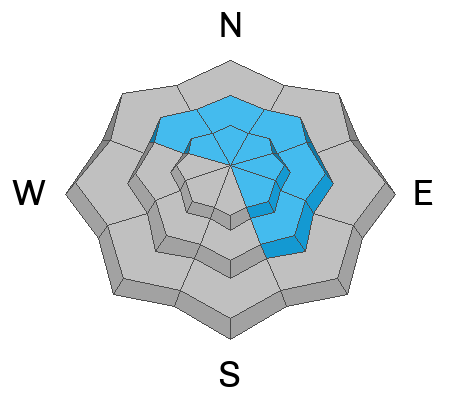
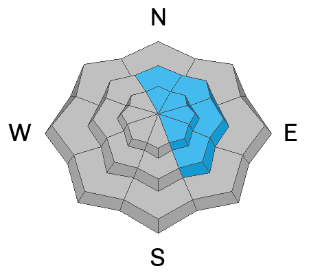
We're moving toward a classic La Sal set up with a persistent weak layer of sugary, faceted snow at the base of the snowpack. All of the snow that fell between Nov 16-19 has begun to facet and weak snow can be found on all aspects but you are most likely to trigger a slab failing on a persistent weak layer on slopes facing NW-N-NE-E-SE. The recent northwest wind event has complicated the picture, particularly in the alpine where many northerly aspects are likely to be stripped, but where existing snow on these slopes will be a spotty mix of new and old wind slabs on top of faceted snow. I'm expecting to find more consistent and widespread slab development near treeline where the recent winds have deposited fresh slabs on top of the old.
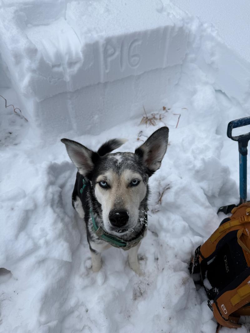
Chris Benson conducted an extended column test on a NE aspect near treeline and produced results of ECTP16. Photo below,
It's never too early to start thinking about avalanches. Here are a few things to consider doing: