Observation Date
12/6/2025
Observer Name
Ryan Huels
Region
Moab
Location Name or Route
Mellenthin NE Ridge
Weather
Sky
Overcast
Wind Speed
Strong
Weather Comments
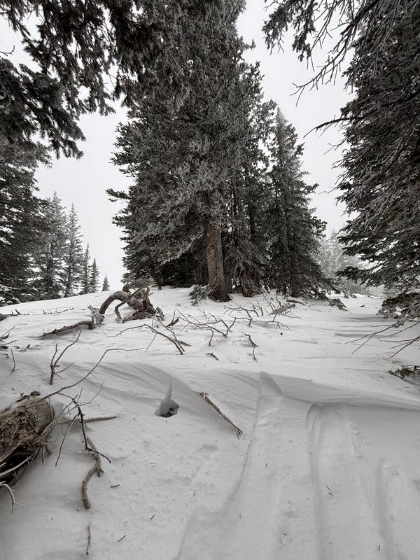
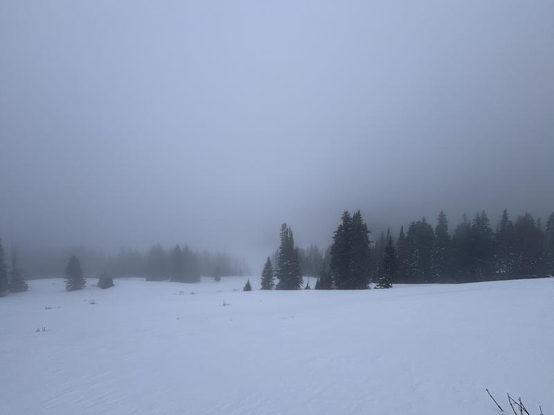
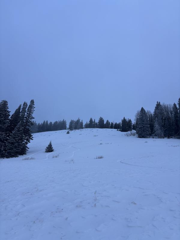
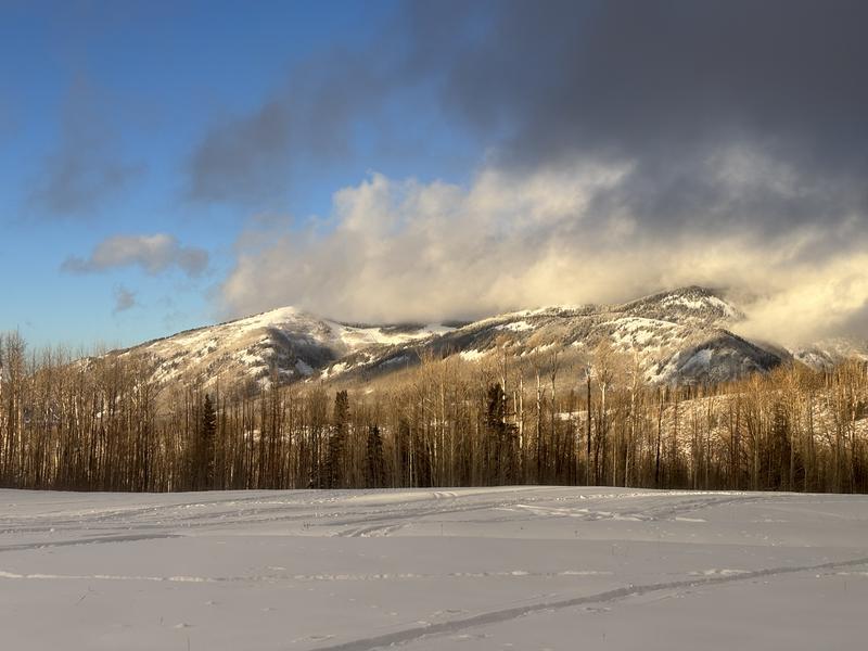
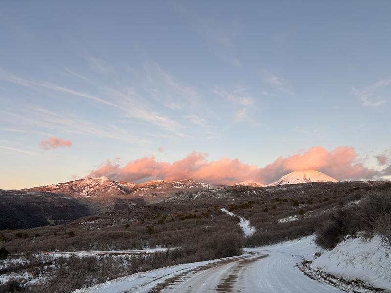
Cloud cover all afternoon with intermittent light snowfall that did not amount to any accumulation. Continuous moderate to strong winds were out of the NW that increased towards sunset. Snow had previously and was currently being transported onto E and SE facing slopes. Winds continue out of the NW tonight and then Sunny skies ahead for the foreseeable future with warm daytime temperatures and cool clear nights which will bring changes to our snowpack and conditions.
Snow Characteristics
New Snow Depth
7"
New Snow Density
Low
Snow Surface Conditions
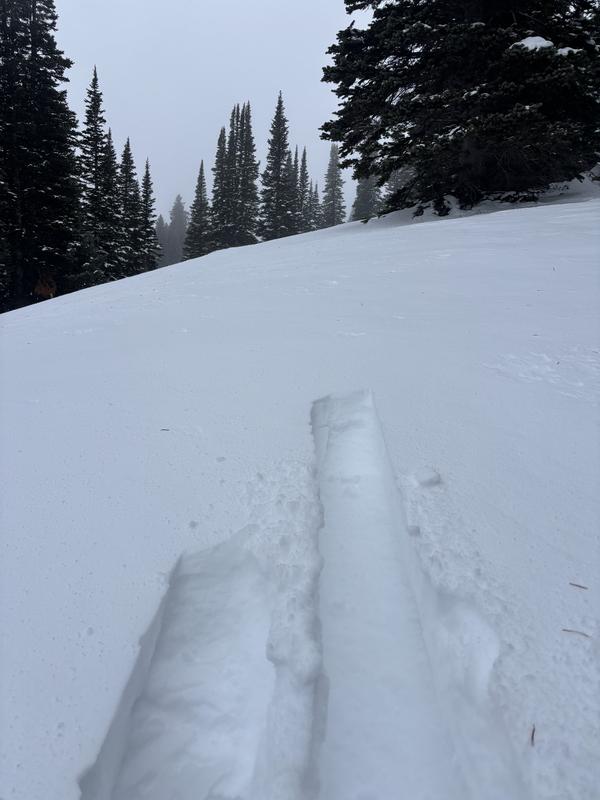
Powder
Wind Crust
Snow Characteristics Comments
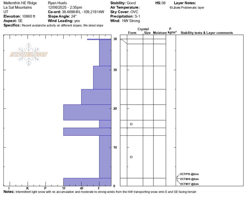
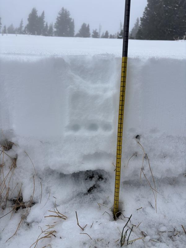
I traveled on E and SE facing aspects and the snow height varied from 35-40cm with around 6-7” of settled powder from our most recent storm. Snow was punchy in places while ascending which made travel difficult at times, but I found it to be supportable and pleasant while making turns on a grassy ESE facing slope in the 10500-11000 range. I was able to stay on top of a previous melt/freeze crust crust 7” down while riding but that was not the case while ascending. Still very thin out there with rocks, stumps, deadfall and bushes everywhere.
Red Flags
Red Flags
Wind Loading
Poor Snowpack Structure
Red Flags Comments
Poor snowpack structure with a PWL on N facing slopes and I also found poor snowpack structure on solar slopes facing SE today with weak faceted snow beneath our new snow. See attached pit profile. Wind was being loaded onto E and SE facing slopes during the day. I’m still keeping my slope angles below 30 degrees around the compass due to the thin snowpack and presence of weak faceted layers that I’ve seen on SW, NE, N and SE facing slopes over the past week. With sunny days ahead you may see melt/freeze on solars and faciting on polars.
Avalanche Problem #1
Problem
Persistent Weak Layer
Trend
Increasing Danger
Problem #1 Comments
PWL previously present on N facing aspects and I also found the same on a SE facing aspect. While the snowpack seems slightly stronger on aspects facing the sun still did produce results in my extended column test. Scores of ECTP15 @ 2cm, ECTN18 @ 2cm and ECTN17 @ 2cm. There may be pockets on SE aspects where snow could be sensitive and unstable. I would say this may increase over the night with continued wind loading onto E and SE aspects.
Avalanche Problem #2
Problem
Wind Slab
Trend
Increasing Danger
Problem #2 Comments
NW winds were loading E and SE facing slopes along with areas around the compass protected by trees or in gullies. More to continue tonight.
Snow Profile
Aspect
Southeast
Elevation
10,800'
Slope Angle
24°
Comments
Snow profile on a ESE face at 10860’ shows a couple layers of concern to keep and eye on.
Rime on trees and windblown snow on ridge lines showing wind loading onto E and SE facing slopes from the wind today. There was a 1-2mm wind board present on the snow surface in exposed areas that was easily breakable.
Low visibility winter day in the mountains trying to enjoy the soft snow before it starts to deteriorate. Skies began to clear in the evening revealing alpenglow on our beautiful mountains.
Today's Observed Danger Rating
Moderate
Tomorrows Estimated Danger Rating
Moderate
Snow Pilot URL