Geyser Pass Road Conditions: The road is snow packed, icy, and slick. Awd and good tires required.
Saturday, December 5: Join us for the 19th Annual USAW, where Utah’s avalanche community will team up with snow professionals around the West to share avalanche knowledge. Regional avalanche workshops are the most time and cost-effective way to build and refresh advanced avalanche skills. This is your chance to learn from avalanche experts and brush up on your skills before the start of the season. Tickets and information here.
Monday, December 7 6 PM: Know Before You Go. Eric and Dave will give a free avalanche awareness talk at the MARC in Moab. This is a great introduction to snowpack, weather, and avalanches for first-timers or anyone who wants a quick skills refresh.
Saturday, December 12 6-9:30 PM: UAC Moab Winter Kickoff Party at the MARC in Moab. The event will include ski waxing, live music, beer from the Moab Brewery, pizza from Zax, and a chance to win some great prizes in our opportunity drawing.
Saturday, February 6-7: Backcountry 101 Moab: An introduction to avalanches. Spend time in the classroom and on snow with Eric and Dave. Click here for more information and to register.
24 Hour Snow: 2?" 72 Hour Snow: 4" Season Total: 38" Depth at Gold Basin: 21" Temperature (10,000'): 28°F Winds on Pre Laurel Peak: SSE 40 G 59
Weather
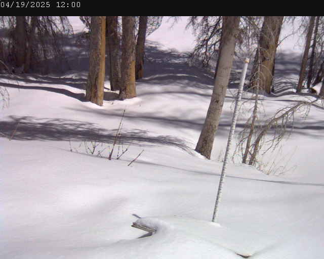
With all this wind, it's hard to say if we got any snow. The Gold Basin storm stake is reporting 2 inches while the webcam and nearby SNOTEL site are reporting none. Regardless, the story has been the wind. It's been blowing from the south at sustained speeds of 40 mph with gusts into the high 50's. A chance for an inch or two of snow lingers through this morning while southerly winds remain strong. Winds should back off a little and we should see some partial clearing as the storm moves on. Partly cloudy skies overnight give way to mostly calm and clear conditions through the weekend. Looking ahead, we see a progressive pattern with a quick hitting storm on Monday, and perhaps something later in the week but nothing looks very promising at this time.
General Conditions
Conditions remain quite thin at lower elevations, and you have to be selective in your travels, but up high there is plenty of snow to get around on. Snow depths range from about a foot at the Geyser Pass Trailhead (9600 feet) to 22 inches at Gold Basin (10,000 feet), and over three feet above 11,000 feet.
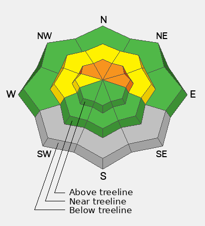
Strong winds have wreaked havoc on exposed slopes near and above treeline with southerly aspects taking the biggest hit. Many of these slopes will be showing rocks. Some soft snow remains on sheltered northerly aspects but these slopes are few and far between, especially with the thin snowpack below 11,000 feet.
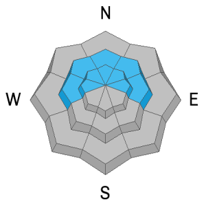
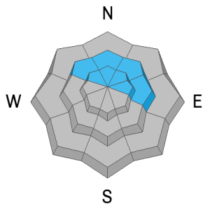
Unfortunately, the slopes holding the best snow also have the poorest snowpack structure. Thick, cohesive slabs of wind-drifted snow are widespread on polar aspects, resting above a weak layer of faceted snow over a hard crust. Wind slabs failing on this persistent weak layer are the primary avalanche concern today. Conservative backcountry travelers will avoid slopes steeper than 30 degrees that harbor this poor structure. For more details on this weak structure, see Dave's observation from Wednesday.
Gold Basin Snow Stake Cam (10,000')
Gold Basin Weather Station (10,000')
Gold Basin SNOTEL (10,000')
Pre-Laurel Peak Weather Station (11,705')
NWS La Sal Forecast
On Wednesday, Dave's party observed three significant natural avalanches. These avalanches involved slabs of wind-drifted snow failing on a faceted weak layer and they are not something you would want to be involved with.
Gravel Pit Lanes NE 11,900' Natural Depth: 3' Vertical: 1,500' Width: 600'
Upper Horse Creek NW 11,900' Natural Depth: 1.5' Vertical: 700' Width: 500'
Meat Cleavers N 11,400' Natural Depth: 3' Vertical: 350' Width: 200'
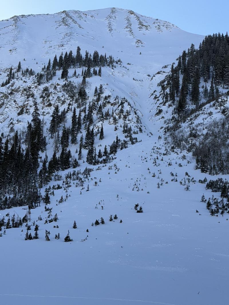
The avalanche in Gravel Pit Lanes propagated widely and put debris in both Tele Gold and Tele Heaven.