The Geyser Pass Road was plowed on Monday. Expect to find several inches of new snow on the road today.
The Lower Utah Nordic Alliance (LUNA) groomed all trails on Wednesday. Follow LUNA on Instagram @luna_moab.
24 Hour Snow ?" 72 Hour Snow ?" Base Depth in Gold Basin ?" Wind WNW 5-10 Temp 15F
I don't have reliable snowfall data this morning. Gold Basin has been all over the charts and is reporting 10". The Snotel site near Geyser Pass Trailhead stopped reporting around midnight but it is showing 7"-8" of snow with .6" of snow water equivalent. This seems at least somewhat reliable. Southerly winds that have been cranking for the last three days finally backed off around 9:00 p.m. before they began shifting around to the WNW. We should see clearing skies today becoming mostly sunny. NW winds will be mostly light and high temps will be in the low 20's. High pressure builds over the next few days wiht the next storm system being advertised for mid-week.
Snowpack Discussion
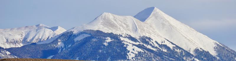
It should be a beautiful day in the mountains with fresh snow softening some of the effects of this week's wind event. More than 2' of snow has fallen in the high country since last Friday though much of it has been blown and redistributed. Above treeline, large wind drifts and significant cross-loading has occurred on leeward aspects, ranging from west to north to east. Poor snowpack structure still plagues our mountains, with numerous persistent weak layers buried both underneath recent snow, as well as near the bottom of the snowpack. Strong winds have built stiff slabs on these weak layers and may be triggered by the weight of a skier or rider, especially in places where the slab is thin and weak.
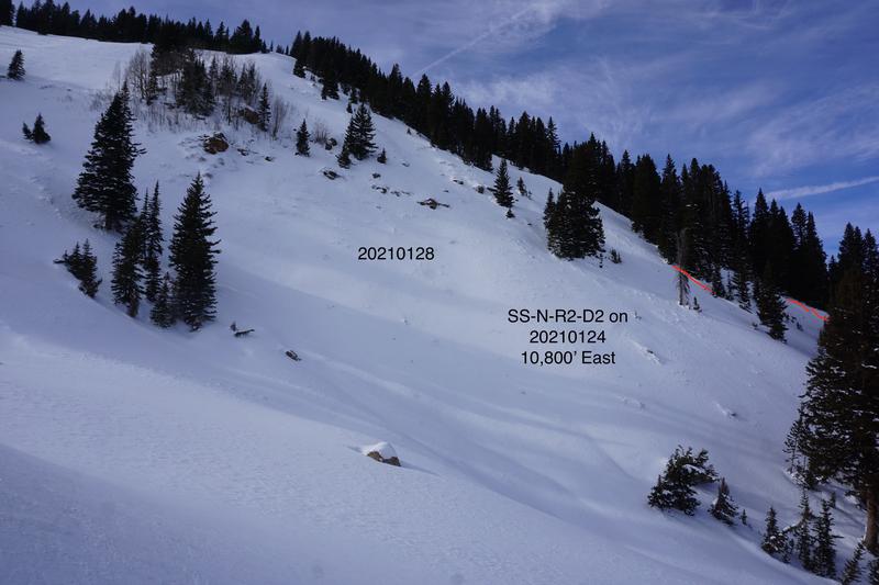
Southerly winds on 1/27/2021 have cross-loaded many slopes above treeline on west, north, and east aspects.
Colorado Bowl with crown and flank remnants in red. Much of this slope appeared to have filled back in after it probably ran on 1/24/201.
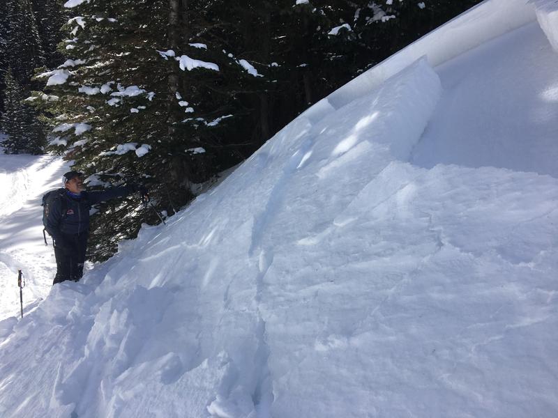
On Thursday, Chris Benson and I were able to trigger this test slope on a steep, easterly aspect around 10,800'. It appeared to be the combined storm snow of last weekend failing on buried near surface facets. This would corroborate Tim Mathews findings in his
observation from 01/25. Many of the avalanches from the last cycle likely failed on this layer although Exxon's and the Snaggletooth Ridge avalanches failed deeper.