Thank you to everyone who supported our spring fundraiser. We reached our goals. The Utah Avalanche Center could not exist without your support.
The Tony Grove Snotel at 8400' reports 85 inches of total snow, and it's 39ºF this morning. Its 36ºF at the 9700' CSI Logan Peak weather station, and west-northwest winds are currently averaging around 20 mph.
Rapid warming and mountaintop temperatures above 50ºF will create dangerous wet avalanche conditions on steep sunny slopes in the Logan Zone.
A mild southwesterly flow will bring a warming trend today, with above average temperatures continuing through Saturday. A mild storm system will cross the state late Saturday through Monday, followed by high pressure for the middle of next week.
It will be sunny today in the mountains again, with high temperatures at 9000' expected to be around 52ºF and 6 to 9 mph west-southwest wind. It will be mostly clear tonight with low temperatures around 34ºF, and 14 mph southwest winds. There is a 40% chance of rain and snow showers tomorrow afternoon, but little accumulation is expected. It will be partly sunny and warm, with high temperatures around 53ºF and 13 to 16 mph southwest wind.
Here is a short video from Utah Avalanche Center Staff about Spring snow.
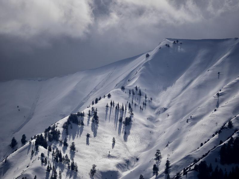
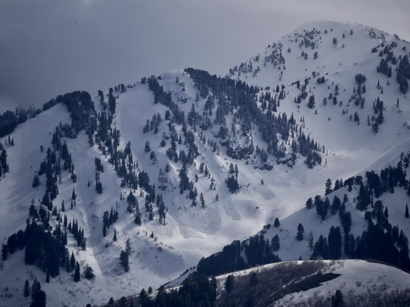
We can see numerous recent natural wet loose avalanches from Cache Valley today after the rainy and increasingly warm weather earlier this week. Widespread natural loose avalanches entraining wet new snow were observed across the Logan Zone on many steep slopes at upper and mid elevations, and some were pretty long running.
Numerous fairly large natural wet loose and a few wet slab avalanches occurred in the first half of April across the Logan Zone.