Forecast for the Logan Area Mountains

Issued by Toby Weed on
Thursday morning, April 18, 2019
Thursday morning, April 18, 2019
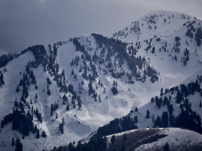
Areas with heightened avalanche conditions exist on some upper elevation slopes, and human triggered avalanches of dense wind drifted snow are still possible. Rapid warming, mountain temperatures approaching 50ºF, and strong sun could create dangerous avalanche conditions and CONSIDERABLE danger in sunny upper elevation terrain, with wet avalanches becoming likely on steep slopes during the heat of the day.
Use extra caution. Head home early, and evaluate snow and terrain carefully.

Low
Moderate
Considerable
High
Extreme
Learn how to read the forecast here