Forecast for the Logan Area Mountains

Toby Weed
Issued by Toby Weed for
Tuesday, April 18, 2023
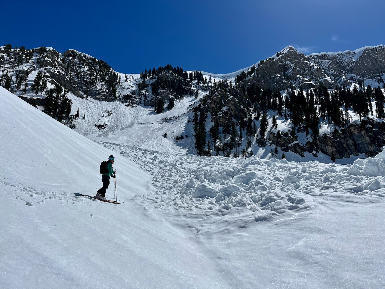
Heavy snowfall and drifting from increasing west winds will elevate the avalanche danger to MODERATE on backcountry slopes at all elevations steeper than 30°. Rain on the saturated snow at low elevations could create elevated wet avalanche conditions this morning, but plunging temperatures will change precipitation to all snow pretty quickly.

Evaluate snow and terrain carefully.
Low
Moderate
Considerable
High
Extreme
Learn how to read the forecast here
Weather and Snow
I hope you didn't put the goggles away quite yet. Looks like we're gonna get another powder day or two, with periods of heavy snow and a foot or more of accumulation possible on upper elevation slopes today. The National Weather Service has issued a Winter Weather Advisory for the Bear River Range...

The 8400' Tony Grove Snotel reports an inch of new snow overnight. It's 30° F and there is 123" of total snow. It's 23° F and the wind is blowing 21 mph (with gusts to 36 mph) from the west-southwest this morning at the 9700' CSI Logan Peak weather station.
Here is the NWS point forecast (36 hrs) for Upper Elevations in the Central Bear River Range:
Today: Snow showers, mainly after 9am. The snow could be heavy at times. Some thunder is also possible. Temperature rising to near 31 by 10am, then falling to around 21 during the remainder of the day. Wind chill values as low as 3. Breezy, with a west southwest wind 10 to 15 mph increasing to 23 to 28 mph in the afternoon. Chance of precipitation is 90%. Total daytime snow accumulation of 10 to 16 inches possible.
Tonight: A 30 percent chance of snow showers before 9pm. Some thunder is also possible. Mostly cloudy, with a low around 7. Wind chill values as low as -8. Blustery, with a west northwest wind 15 to 24 mph. New snow accumulation of less than a half inch possible.
Wednesday: A 20 percent chance of snow showers after noon. Mostly sunny, with a high near 25. Wind chill values as low as -7. West wind 11 to 20 mph.

Cooler temperatures will continue through the week, More snow is expected on Thursday, and fair weather is expected for the weekend.
Recent Avalanches
It is a pleasure to report no new avalanches in the past few days.... For a list of last week's avalanches in the Logan Zone go HERE.
Find a list of all recent observations & avalanches from across Utah go HERE.
Ad
Avalanche Problem #1
Wet Snow
Type
Location
Likelihood
Size
Description
  • Wet avalanches are possible at low elevations this morning due to rain falling on the already soft and saturated snow.
  • Low elevation, north facing slopes and forested or cliffy areas still hold several feet of snow, and natural avalanches may occur on some of these slopes if significant rain falls before dropping temperatures turn it into snow.
Avalanche Problem #2
New Snow
Type
Location
Likelihood
Size
Description
Heavy snowfall and drifting from increasing winds from the west-southwest will elevate the danger throughout the day. People could trigger soft slab and loose avalanches of storm snow on steep slopes with significant accumulations, especially in drifted terrain. Avalanches are possible in steep terrain at all elevations.
Additional Information
Belle is checking out the debris from a huge recent natural avalanche that came roaring out of the Z Gully, in High Creek (4-16-23)
Widespread natural wet loose avalanches occurred across the Logan Zone with last week's warmup. Similar activity is possible today as temperatures at upper elevations climb toward 50° F again.
General Announcements
  • Please submit your observations from the backcountry HERE.
  • For a list of avalanche classes from the Utah Avalanche Center go HERE
  • For information on where you can ride your sled or snow-bike, check out this map of the winter travel plan for the Logan and Ogden Ranger Districts HERE, and a close up of the Tony Grove and Franklin Basin Areas HERE.
This forecast is from the U.S.D.A. Forest Service, which is solely responsible for its content. This forecast describes general avalanche conditions and local variations always occur.