Forecast for the Logan Area Mountains

Toby Weed
Issued by Toby Weed for
Thursday, March 7, 2024
Heavy snowfall and strong winds this week created heightened avalanche conditions and MODERATE danger in the backcountry. People could trigger large cornice falls and 2 to 4-foot thick avalanches of wind-drifted snow in drifted upper and mid-elevation terrain. Soft slab and loose avalanches of storm snow are also possible on slopes with significant new snow accumulations steeper than 30°.
Evaluate snow and terrain carefully, especially on steep slopes with recent accumulations of drifted snow. Stay well clear of and out from under overhanging cornices.
​​​​​
Low
Moderate
Considerable
High
Extreme
Learn how to read the forecast here
Special Announcements
We are seeking a passionate individual to join us as Executive Director of the nonprofit Utah Avalanche Center. Click here for more information.
Weather and Snow
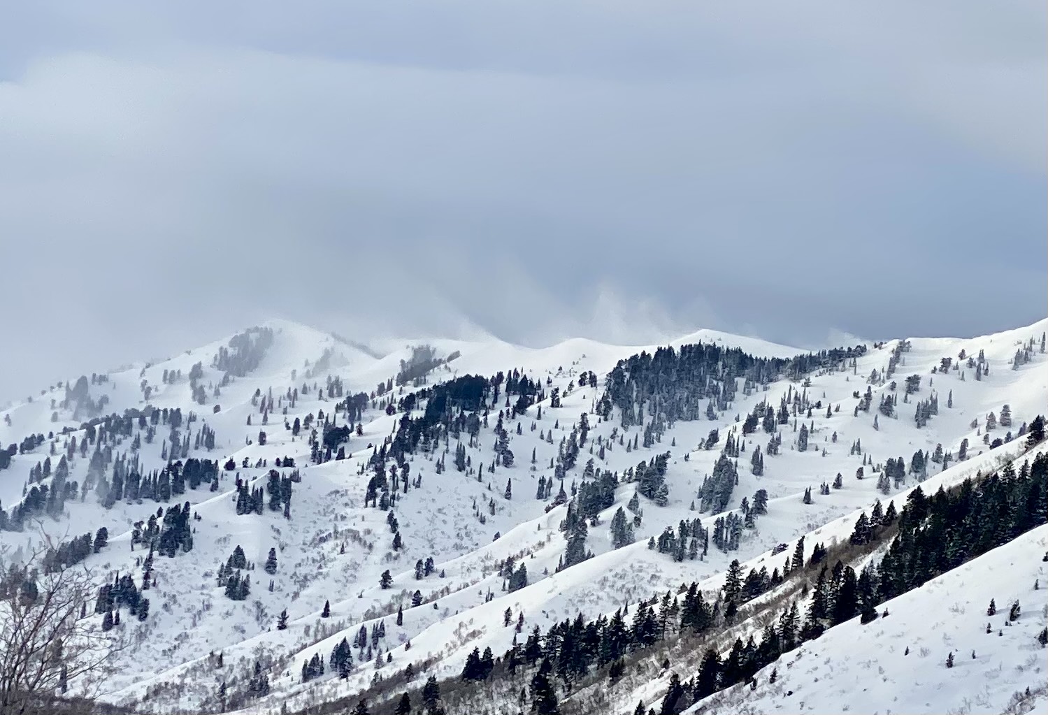
Heavy snowfall and strong winds in the last few days have upped the ante and created heightened avalanche conditions on drifted upper and mid-elevation slopes. We've found nice deep powder riding conditions in sheltered upper and mid-elevation terrain. Yesterday's new snow was somewhat dense, and you sink deeply (sometimes up to your waist) when you step off the sled, but fat skis, snowboards, and sleds float pretty well in the top foot or so. The moist new snow on top of a hard dusty crust formed on Leap Day and March 1 is much shallower at lower elevations.
In drifted upper-elevation terrain, people could trigger 2 to 4-foot thick avalanches of wind-drifted snow. Drifting has formed cornices in many places, even in lower terrain. Up higher, cornices have grown to be very large and overhung, and these might be quite devious. Falling cornices could trigger wind slab avalanches on steep slopes below. Soft slab and loose avalanches of storm snow are also possible on steep slopes with recent deep accumulations of new snow even in more sheltered terrain.

The Tony Grove Snotel at 8400' reports around 14 inches of new snow in the last 48 hours, with 2.2" SWE (snow water equivalent) since Tuesday. It's 24° F, and there's 118 inches of total snow. About 8" of settled new snow accumulated at our new Card Canyon weather station and there is 92" of total snow at around 8800' in elevation. This morning, diminished winds are blowing from the northwest 10 to 15 mph at the 9700' CSI Logan Peak weather station. At 9500' on Paris Peak, light winds are blowing from the northwest, and it's 18° F.

Expect gradual clearing today, with partly sunny skies by afternoon. 8500' high temperatures are expected to be around 26° F, and the winds will blow 5 to 11 mph from the northwest. Expect mostly clear skies tonight with temperatures dropping to around 4° F and light winds veering from the northeast. Tomorrow will be sunny with high temperatures around 25° F and 10 mph winds from the east-northeast.
A short-lived high-pressure system will bring fair weather and warmer daytime temperatures in the mountains through the weekend. Snow is likely on Monday and early next week.
Recent Avalanches
No new significant avalanches were reported recently, but visibility has been limited. Everyone has noticed the strong winds from the south and west, drifting tons of snow every day so far in March. However, snow safety teams triggered some fairly large wind slab avalanches in drifted terrain in the Ogden Mountains yesterday with explosives.
Check out all local observations and avalanches HERE.
Ad
Avalanche Problem #1
Wind Drifted Snow
Type
Location
Likelihood
Size
Description
Human-triggered avalanches of wind-drifted snow are possible in steep, drifted terrain. Very strong winds over the last several days loaded snow onto leeward terrain, creating thick wind slabs and building out already large overhanging cornices.
  • Watch for and avoid stiffer wind drifts on the lee side of major ridges, on corniced slopes, and in and around terrain features like cliff bands, sub-ridges, gully walls, and mid-slope rollovers.
  • Stiff wind slabs could be hidden from view by several inches of fresh snow from yesterday. These could be stubborn, allowing a person to get far out on them before releasing.
  • Softer wind slabs formed in the recent fresh snow may be more sensitive.
  • Shooting cracks are a sign of unstable snow.
  • Stay well away from and out from under devious overhanging cornices, which may break further back and be much larger than expected.
  • Natural or human-triggered cornice falls could be very large, and some could trigger wind slab avalanches on slopes below.
Avalanche Problem #2
New Snow
Type
Location
Likelihood
Size
Description
Small soft slab avalanches and sluffs of new snow are possible at all elevations on slopes steeper than 30° with significant recent accumulations.
  • In steep terrain, watch for terrain traps below that small avalanches could carry you into; like trees, gullies, benches, sinks, or cliff bands.
  • Shallow loose wet avalanches are possible at lower elevations, and deeper wet avalanches are possible in sunny terrain up higher as daytime temperatures warm or the sun peaks out from behind the clouds.
Additional Information
Wind drifting off the Wellsville Range (Jason Wooden, 3-5-2024)
General Announcements
-National Forest Winter Recreation Travel Maps show where it's open to ride: UWCNF Logan, Ogden LRD Tony Grove, Franklin Basin CTNF Montpelier
-Listen to your very own Logan Zone avalanche forecasters on the UAC Podcast HERE.
-Read my recent blog about wind, drifting, and avalanches HERE.
-Sign up for forecast region-specific text message alerts. You will receive messages about changing avalanche conditions, watches, and warnings...HERE.
-For all questions on forecasts, education, Know Before You Go, events, online purchases, or fundraising, call 801-365-5522.
-To report an avalanche or submit an observation from the backcountry, go HERE.
-Come practice companion rescue at the Franklin Basin TH Beacon Training Park. It's free and open to everyone. For easy user instructions, go HERE.
-We will update this forecast by 7:30 AM tomorrow.
This forecast is from the U.S.D.A. Forest Service, which is solely responsible for its content. This forecast describes general avalanche conditions, and local variations always occur.