Enjoy spring skiing at Snowbasin Resort. The UAC has discount Snowbasin tickets available.
HERE
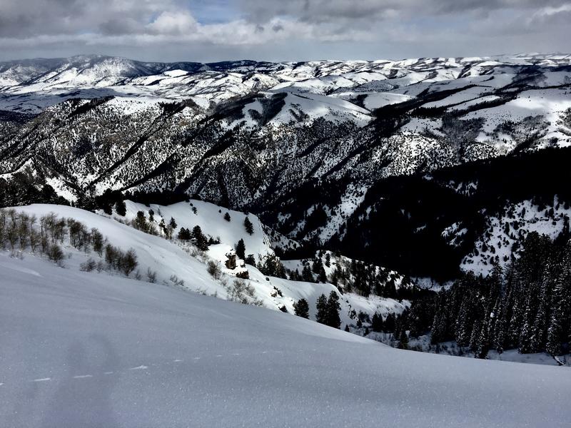
It rained hard in Logan last night, and about a foot of heavy new snow fell in the Bear River Range in the last 24 hrs. This precipitation and drifting from strong south-southwest winds yesterday and west winds overnight created dangerous avalanche conditions at all elevations. The danger may continue to rise with continuing storminess today.
- Soft slab and loose avalanches involving new snow will become increasingly likely as heavy snow piles up on slopes with preexisting weak surface snow.
- Accumulations of more heavy snow and drifting from west winds could cause the danger to increase and become more widespread.
- Wet avalanches are likely at lower elevations on steep slopes with rain saturated snow.
We found glittering surface hoar on the ridges and in avalanche starting zones Monday. In some areas it may have survived Wednesday's wind and rain.
The Tony Grove Snotel at 8400' reports 11 inches of heavy new snow, with 1.3" SWE in the last 24 hours. It's 29ºF this morning and there's 97"of total snow containing 107% of average SWE for the date. It's 22 ºF at the 9700' CSI Logan Peak weather station, and west-southwest winds are currently averaging around 18 mph, with a 39 mph gust earlier this morning.
The remnant of the first storm system over northern Utah will exit the area later today. The next colder storm system will reach western Utah late tonight, then expand across much of northern and central Utah for Friday through Friday evening. Expect more moist snow in the mountains today, with 3 to 5 inches of accumulation possible. Temperatures at 8500' expected be around 30ºF, with 15 to 20 mph west-southwest winds. Snow showers will continue tonight, but not much is expected to accumulate, low temperatures expected to be around 22º F, with 10 mph southwest winds, veering from the east. Snow will resume tomorrow, with 4 to 8 inches possible, temperatures will fall to around 22 ºF, and we expect 15 mph west winds.
Triggered wet loose and small soft slab avalanches were reported from most areas. Besides a few sluffs, no new avalanches were reported in the Logan Zone since last week's wind-spawned natural activity.