UDOT PLANNED AVALANCHE CLOSURES!!

Forecast for the Logan Area Mountains

Paige Pagnucco
Issued by Paige Pagnucco on
Monday morning, March 4, 2024
Snowfall and winds blowing from the west-southwest will keep today's avalanche danger CONSIDERABLE, especially in drifted upper-elevation terrain. Human-triggered avalanches are likely and fresh hard or soft wind slabs may be found on all aspects. You'll find good riding conditions in very sheltered terrain.

  • Avoid being on or under overhanging cornices.
Low
Moderate
Considerable
High
Extreme
Learn how to read the forecast here
Special Announcements
We are seeking a passionate individual to join us as Executive Director of the nonprofit Utah Avalanche Center. Click here for more information.
Weather and Snow
Yesterday was blustery and "snowy" though we did not see much accumulation on the storm boards (.3" SWE at Tony Grove). All observers noted the WIND and the amount of snow it was moving in all directions; classic mountain wind effect. We have another windy, snowy, and cold day on tap today that will keep avalanche danger elevated on upper-elevation slopes loaded by the recent strong winds. Cornices are also getting bigger and more sensitive to a person's weight; falling cornices could trigger an avalanche on the slope below. Look for very sheltered terrain to find the best riding conditions as today's snow will be lighter and should ride well in places where it doesn't blow away or get turned into a rock-hard drift.

Beaver Mountain's webcams are showing snowfall again this morning, and their snow stake has about 5" of settled snow. The Tony Grove Snotel at 8400' reports 10° F and 108 inches of total snow containing around 125% of normal SWE (snow water equivalent). It's 8°F and there is 84 inches of total snow at our new Card Canyon weather station at 8750', a bit north of Logan Peak. Winds are blowing from the south-southwest in the 20's mph with gusts in the 30's mph at the CSI Logan Peak weather station at 9700' in elevation. At our other new weather station at 9500' on Paris Peak, winds are blowing from the south-southwest in the teens, and it's a chilly 3° F.

Today will be a repeat of yesterday though with somewhat moderate winds and colder temperatures. Expect a wintery day in the mountains with high temperatures in the teens F at 8500' and winds blowing from the west-southwest initially in the teens mph then increasing this afternoon to steady 25+ mph. The forecast calls for 3-7" of snow as well, but it could be more, or less. The next few days will be snowy and windy but high pressure starts to move in later in the week.
Recent Avalanches
No new avalanches were reported yesterday, but everyone noted the strong winds transporting lots of snow.
Check out all local observations and avalanches HERE.
Ad
Avalanche Problem #1
Wind Drifted Snow
Type
Location
Likelihood
Size
Description
With more wind moving more snow today, natural avalanches are possible and human-triggered avalanches of wind-drifted snow are likely in steep, drifted terrain. Very strong winds over the last couple of days loaded snow onto leeward terrain, creating thick wind slabs and building out already large cornices. Yesterday, we noticed these wind slabs were fairly stubborn. They may be hard to trigger but consequences remain the same if you do set one off.
  • Watch for and avoid stiffer wind drifts on the lee side of major ridges, on corniced slopes, and in and around terrain features like cliff bands, sub-ridges, gully walls, and mid-slope rollovers.
  • Stiff wind slabs could be stubborn, allowing a person to get far out on them before releasing. Softer wind slabs forming today may be sensitive.
  • Cornice fall could trigger wind slab avalanches on slopes below.
  • Stay well away from and out from under overhanging cornices, which may break further back and be much larger than expected.
Additional Information
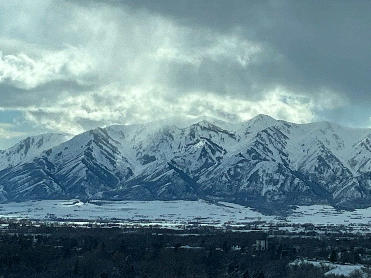
Very large plumes of snow were visible yesterday afternoon coming off the Wellsvilles. Westerly winds were howling; transporting tons of snow onto leeward slopes as well as building out cornices. The max gust on Logan Peak was 73 mph at 3 pm.
General Announcements
-Listen to your very own Logan Zone avalanche forecasters on the UAC Podcast HERE.
-Read my recent blog about wind, drifting, and avalanches HERE.
-Sign up for forecast region-specific text message alerts. You will receive messages about changing avalanche conditions, watches, and warnings...HERE.
-For all questions on forecasts, education, Know Before You Go, events, online purchases, or fundraising, call 801-365-5522.
-To report an avalanche or submit an observation from the backcountry, go HERE.
-Come practice companion rescue at the Franklin Basin TH Beacon Training Park. It's free and open to everyone. For easy user instructions, go HERE.
-We will update this forecast by 7:30 AM tomorrow.
This forecast is from the U.S.D.A. Forest Service, which is solely responsible for its content. This forecast describes general avalanche conditions, and local variations always occur.