Forecast for the Logan Area Mountains

Issued by Toby Weed on
Saturday morning, March 23, 2019
Saturday morning, March 23, 2019
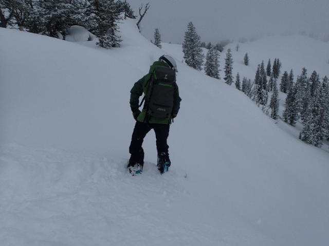
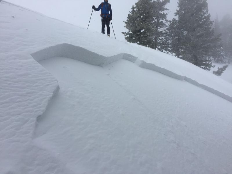
MODERATE: Yesterday's moist snow didn't stick well to the old snow surface, and heightened avalanche conditions exist at all elevations. Shallow soft slab and long-running loose avalanches involving fresh storm snow are possible in many areas. Rain on the snow at lower elevations saturated the snow, warm temperatures are expected today, and wet loose avalanches are possible. It is possible for people to trigger 1 to 2 foot deep slab avalanches of wind drifted snow on upper and mid elevation slopes, especially those facing north and east.
- Evaluate snow and terrain carefully.

Low
Moderate
Considerable
High
Extreme
Learn how to read the forecast here