Forecast for the Logan Area Mountains

Paige Pagnucco
Issued by Paige Pagnucco for
Saturday, March 16, 2024
The snow is generally stable and the avalanche danger LOW across the Logan zone except where the past few days' strong east winds formed drifts and hard wind slabs in unusual or unexpected places. There, the danger is MODERATE and human-triggered hard slab avalanches are possible in some very steep upper-elevation terrain.

Wet avalanches may become possible in the afternoon with warm temperatures and strong sunshine, but continued strong easterly winds should keep any significant activity at bay.
Low
Moderate
Considerable
High
Extreme
Learn how to read the forecast here
Special Announcements
Support the UAC website rebuild by donating to our spring campaign. Save lives by making a donation today!
The Utah Avalanche Center is hosting The Banff Film Festival on Thursday, March 21, and Friday, March 22 in Moab. Click here for tickets and information.
Weather and Snow
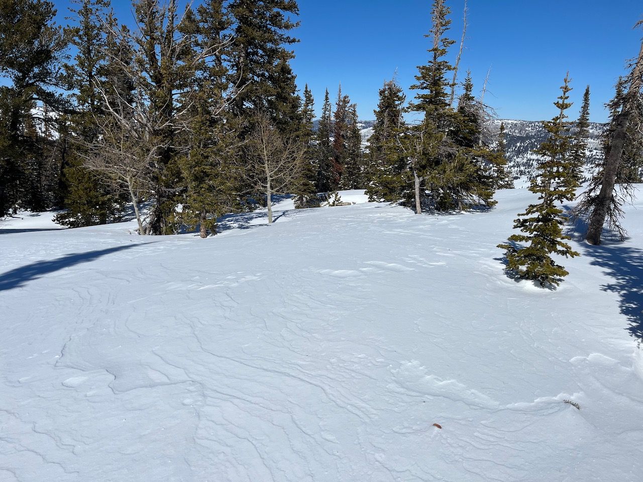
The snow has taken quite a beating from the very strong east winds over the past few days. You'll find mostly stable snow minus a few areas where the unusual winds have created hard slabs of wind-drifted snow, mainly in very steep, exposed terrain. We saw no evidence of instability yesterday but the wind show in Logan Dry Canyon yesterday morning was impressive, and there's no denying that it's possible today to trigger an avalanche in an unusual place. The snow surface is variable but supportable and you'll find excellent coverage across the zone. There is still some soft settled snow in north-facing shaded terrain.

It's 26°F at the 8400' Tony Grove Snotel and there is 108" of total snow containing 127% of normal snow water equivalent (SWE). On Logan Peak, winds blowing from the east are still cranking in the 40's mph and gusting into the 50's and 60's mph. At the new Paris Peak weather station, it's 20°F, and the easterly winds are much calmer, blowing and gusting in the teens mph. The new Card Canyon weather station shows 91" of snow and it's 22°F.

I can hear the wind outside my window howling again this morning, a prelude to yet another day of unusually strong winds. It'll be sunny and "breezy" in the mountains today with temperatures in the 30's F and winds blowing from the east 20-30 mph with gusts in the 40's mph. The Logan Peak area (front side of the range) is bearing the brunt of this unusual pattern with sustained winds in the 40's mph and gusts into the 60's. In contrast, Logan Summit (back side of the range), our normally very windy zone, has been relatively calm. If you avoid hanging out in exposed terrain, you'll find the wind to be less bothersome. Sunshine and spring-like temperatures dominate the forecast for the next few days but so do the easterly winds, which look to wind down by Monday. The next chance for precipitation is Wednesday or Thursday of the coming week.
Recent Avalanches
Yesterday, no new avalanches were reported. Check out all local observations and avalanches HERE.
Ad
Avalanche Problem #1
Wind Drifted Snow
Type
Location
Likelihood
Size
Description
The wind has now been blowing at elevated speeds for the past 48 hours. This morning the latest wind reading on Logan Peak is 51 mph with a gust of 64 mph. The wind, combined with roughly a foot of new snow a few days ago, has created hard slabs of wind-drifted snow and human-triggered avalanches are possible on steep, exposed, wind-loaded slopes. Warmth and sunshine is helping minimize the available snow to transport but the wind is still incredibly strong and is moving any loose bit of snow in its path.
Be on guard for unusual wind loading. Remember wind-drifted snow can look wavy and pillowy, or it can be hard and sound hollow like a drum. Your safest option is to avoid steep, wind-loaded slopes as this type of avalanche will let you get out on it before breaking.
The wind has scoured most areas and the snow surface is a mixture of exposed crusts, wind buff, and breakable crusts with some patches of soft snow in sheltered terrain.
Avalanche Problem #2
Wet Snow
Type
Location
Likelihood
Size
Description
The winds should keep wet avalanche activity at bay today but it's mid-March and the sun is strong. If you start seeing signs of unstable snow like rollerballs or pinwheels, move to a cooler aspect or elevation.
General Announcements
-National Forest Winter Recreation Travel Maps show where it's open to ride: UWCNF Logan, Ogden LRD Tony Grove, Franklin Basin CTNF Montpelier
-Listen to your very own Logan Zone avalanche forecasters on the UAC Podcast HERE.
-Read Toby's blog about wind, drifting, and avalanches HERE.
-Sign up for forecast region-specific text message alerts. You will receive messages about changing avalanche conditions, watches, and warnings...HERE.
-For all questions on forecasts, education, Know Before You Go, events, online purchases, or fundraising, call 801-365-5522.
-To report an avalanche or submit an observation from the backcountry, go HERE.
-Come practice companion rescue at the Franklin Basin TH Beacon Training Park. It's free and open to everyone. For easy user instructions, go HERE.
-We will update this forecast by 7:30 AM tomorrow.
This forecast is from the U.S.D.A. Forest Service, which is solely responsible for its content. This forecast describes general avalanche conditions, and local variations always occur.