Forecast for the Logan Area Mountains

Toby Weed
Issued by Toby Weed for
Sunday, February 26, 2023
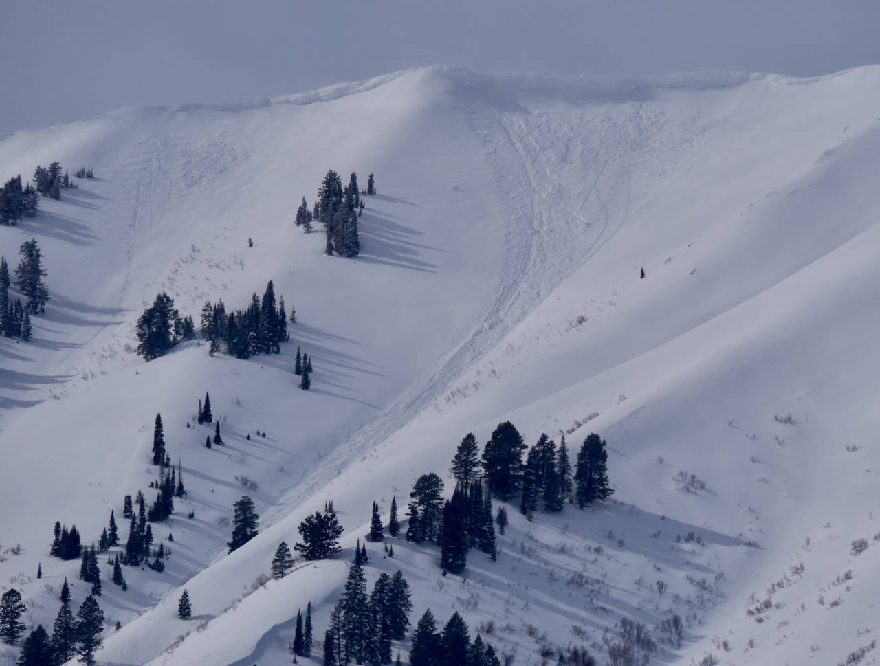
Periods of heavy snowfall and drifting from increasingly strong winds from the southwest will elevate backcountry avalanche danger. Heightened conditions exist already on drifted slopes, and people could trigger 1 to 3 foot thick slab avalanches of wind drifted snow on slopes steeper than 30°. The danger will rise to CONSIDERABLE in windy terrain at upper elevations today, where natural avalanches will be possible and human triggered avalanches likely, and elevated conditions are found at lower elevations in areas where accumulations of new snow and drifting overload slopes with buried sugary weak layers.
  • Make conservative decisions and evaluate snow and terrain carefully.
Low
Moderate
Considerable
High
Extreme
Learn how to read the forecast here
Weather and Snow
An approaching storm is exceeding expectations, and heavy snowfall and drifting by strengthening SW winds will elevate the avalanche danger, especially on drifted upper elevation slopes. Well over two feet of snow accumulated last week, south winds picked up in the past couple days, and there were several natural and human triggered avalanches of wind drifted snow yesterday in the Logan Zone. Avalanches are also still possible today in lower elevation areas where slabs of wind drifted snow are forming on slopes with poor snow structure. I plan to continue to stay off and out from under drifted slopes at all elevations steeper than 30°.
The 8400' Tony Grove Snotel reports 27° F this morning, and there is 106 inches of total snow. The wind is blowing from the south at 25 to 30 mph and gusting well into the 40s at the 9700' CSI Logan Peak weather station.
Here is the NWS point forecast for high elevations in the Central Bear River Range:
Today: Snow, mainly after 11am. The snow could be heavy at times. High near 29. Wind chill values as low as 4. Breezy, with a southwest wind 10 to 15 mph increasing to 23 to 28 mph in the afternoon. Chance of precipitation is 80%. Total daytime snow accumulation of 6 to 10 inches possible.
Tonight: Snow. The snow could be heavy at times. Steady temperature around 21. Wind chill values as low as 1. Windy, with a west southwest wind 26 to 33 mph, with gusts as high as 43 mph. Chance of precipitation is 100%. New snow accumulation of 12 to 18 inches possible.
Monday: Snow. The snow could be heavy at times. Steady temperature around 20. Wind chill values as low as 1. Breezy, with a west southwest wind 21 to 23 mph. Chance of precipitation is 90%. New snow accumulation of 7 to 11 inches possible.

The productive storm will continue to produce significant accumulations heading into the week, with a possible break around Wednesday.
Recent Avalanches
It was and active day in the Logan Zone yestterday.
  • I observerd several large and long running natural cornice fall avalanches in the Wellsvilles, and others were reported from Logan Dry and off Cornice Ridge in the Bear River Range.
  • A group of sledders reports remotely triggering three wind slab avalanches in the Castle Rock area, just south of Naomi Peak,
  • and a couple skiers intentionally triggered a few small wind slab and cornice fall avalanches above the old Forestry Camp on the east side of Logan Canyon. HERE

Natural avalanches were common at lower elevations with this week's big storm, and they occurred in and around neighborhoods, breaking in backyards and sliding down into areas frequented by folks who usually don't have to worry much about avalanches. Friday, we observed recent natural avalanches in lower Green Canyon and up in Garden City.

There was an extensive natural avalanche cycle across the Logan Zone between Tuesday PM and Thursday AM, including dozens of slab avalanches at lower elevations <7000'. report and pictures HERE A very broad and long running natural avalanche(s) from last week's cycle was observed in the Wood Camp by a couple different parties on Saturday. HERE. and HERE
For a list of avalanches in the Logan Zone go HERE
Find a list of all recent observations & avalanches from across Utah HERE.
Ad
Avalanche Problem #1
Wind Drifted Snow
Type
Location
Likelihood
Size
Description
This morning winds are still blowing from the south, and they've been way more than strong enough to drift even the heavy powder. Avalanches of wind drifted storm snow, 1 to 3 feet thick, are possible on drifted slopes at all elevations, but will be larger and more likely for people to trigger on upper elevation slopes facing west, north, and east.
  • Avoid corniced slopes and stiffer drifts on steep slopes near ridges and in and around terrain features like cliff bands, sub-ridges, mid-slope break-overs, and gully walls.
  • Wind slabs consist of stiffer drifted snow. Today, soft and hard slab avalanches of drifted storm snow are possible.
  • Some wind slab avalanches could fail on a sugary persistent weak layer, and some might be triggered remotely.
  • Stay well clear of the freshly swollen cornices, which are likely to break further back than you might expect and could trigger wind slab avalanches below.
Avalanche Problem #2
Persistent Weak Layer
Type
Location
Likelihood
Size
Description
There were many lower elevation areas with very weak faceted snow before the storm capped it with new snow. We found weak layers on and near the surface of the snow prior to this week's storm at all elevations, but the snow was particularly weak and faceted in protected lower elevation terrain, and poor snow structure and unstable snow can be found now on many lower elevation slopes.
  • Avalanches failing on a persistent weak layer are possible at all elevations but are notably also possible down lower, below about 7000' elevation.
  • Avalanches of wind drifted snow could be triggered remotely or from a distance.
Watch Drew's video about similar conditions in the foothills above Salt Lake City:
Additional Information
Fresh natural cornice fall avalanches occurred due to drifting from the strong south winds Friday Night.
General Announcements
  • Please submit your observations from the backcountry HERE.
  • For a list of avalanche classes from the Utah Avalanche Center go HERE
  • For information on where you can ride your sled or snowbike, check out this map of the winter travel plan for the Logan and Ogden Ranger Districts HERE, and a close up of the Tony Grove and Franklin Basin Areas HERE.
This forecast is from the U.S.D.A. Forest Service, which is solely responsible for its content. This forecast describes general avalanche conditions and local variations always occur.