Forecast for the Logan Area Mountains

Issued by Toby Weed on
Wednesday morning, February 20, 2019
Wednesday morning, February 20, 2019
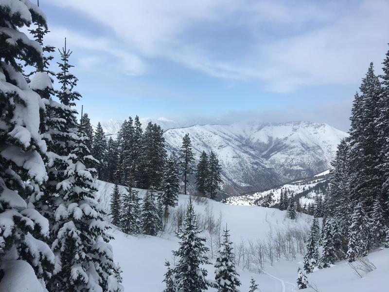
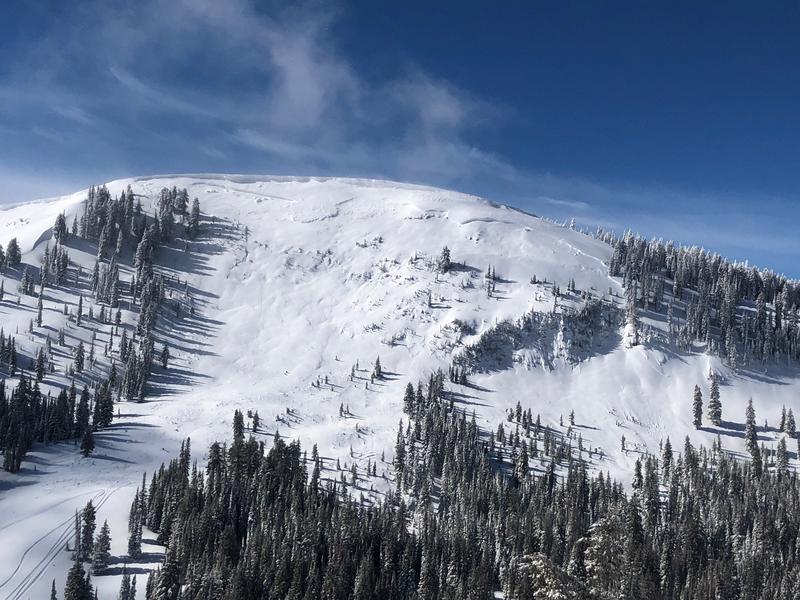
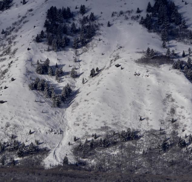
CONSIDERABLE: Dangerous avalanche conditions are developing on drifted upper elevation slopes. Southwest winds picked up overnight, drifting fresh low density snow into avalanche starting zones. Avalanches and cornice falls consisting of wind drifted snow are possible on many slopes and becoming likely on some. Fine powder is plentiful in the backcountry, and you can find safer conditions, mostly stable snow, and Low danger at lower elevations, in sheltered terrain, and on slopes less than about 30 degrees in steepness.
- Make conservative decisions, evaluate snow and terrain carefully, and use extra caution if traveling at upper elevations.
- Beware of large ridge-top cornices and steep slopes with recent deposits of wind drifted snow.

Low
Moderate
Considerable
High
Extreme
Learn how to read the forecast here