Forecast for the Logan Area Mountains

Issued by Toby Weed on
Monday morning, February 18, 2019
Monday morning, February 18, 2019
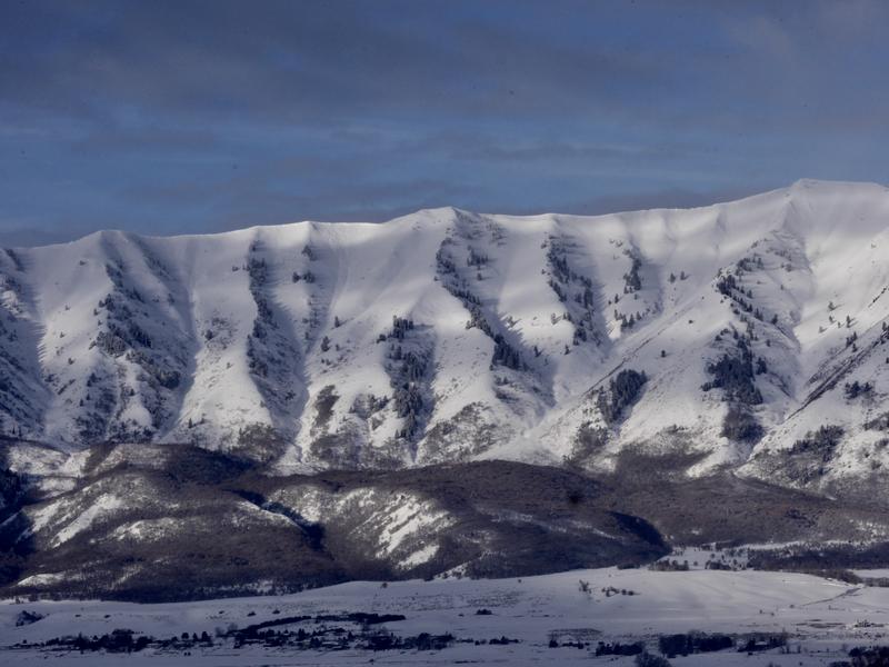
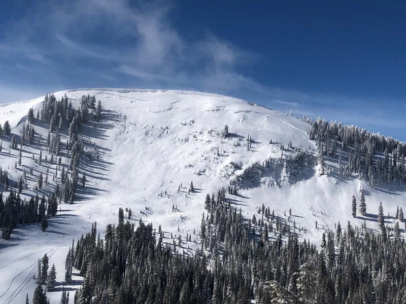
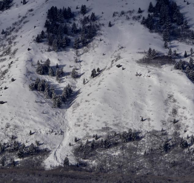
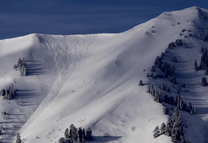
MODERATE: Avalanches consisting of wind drifted snow are possible on mid and upper elevation slopes. It's unlikely for a person to trigger one, but dangerous avalanches failing on a buried persistent weak layer remain possible on isolated slopes with poor snow structure. Fine powder is plentiful in the backcountry, and you can find safer conditions and Low danger at lower elevations, in sheltered terrain, and on slopes less than about 30 degrees in slope steepness.
- Evaluate snow and terrain carefully.
- Beware of large ridge-top cornices and steep slopes with recent deposits of wind drifted snow.

Low
Moderate
Considerable
High
Extreme
Learn how to read the forecast here