Get Your Ticket to the 32nd Annual Backcountry Benefit on September 11th! Support Forecasting, Awareness, and Education
Ad

Forecast for the Logan Area Mountains

Toby Weed
Issued by Toby Weed on
Monday morning, February 17, 2020
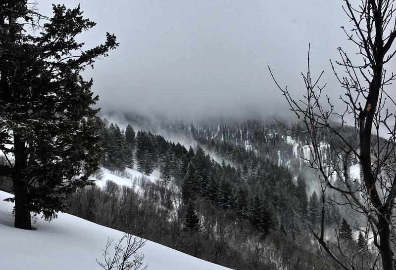
Dangerous avalanche conditions and CONSIDERABLE danger exist on upper and mid elevation slopes, and people are likely to trigger slab avalanches of wind drifted snow. Soft slab and loose avalanches consisting of yesterday's storm snow are also likely in more sheltered steep terrain, and possible at all elevations. The danger is HIGH on drifted upper elevation slopes facing the east half of the compass in areas that received significant accumulations of heavy new snow yesterday, and natural avalanches are quite possible this morning.
  • Evaluate snow and terrain carefully. Use caution while route-finding, and make conservative decisions.
  • People should stay off and out from under steep drifted slopes, and avoid avalanche runout zones.
Low
Moderate
Considerable
High
Extreme
Learn how to read the forecast here
Weather and Snow
It's 12°F at the 8400' Tony Grove Snotel, and there is about 13"of new snow with 1.6" Snow Water Equivalent int he last 24 hours. There is 94 inches of total snow, containing 133% of normal SWE. West winds are currently blowing around 28 mph, with gusts near 60 mph at the CSI Logan Peak weather station, and it's 3°F at 9700'.
With severe drifting from west winds and about a foot-and-a-half of snow with over 2" of SWE in the Central Bear River Range from yesterday's storm, dangerous avalanche conditions exist on many upper and mid elevation slopes. At the same time, much less snow fell at lower elevations and in the southern part of the zone, and conditions are much safer in areas with less accumulation. People should still avoid travel on or under steep drifted slopes and avoid avalanche runout zones today because long running and fast moving natural avalanches are possible. Because of the widespread crust from 2/7 under the new snow, the best riding will be in low angle terrain anyway.
Severe drifting of the new snow from strong west winds yesterday in Spring Hollow

Snow showers are likely this afternoon, with around an inch of new snow possible. It will be mostly cloudy, with 8500' high temperatures near 17°F. West winds 14 to 20 mph will create wind chill values as low as -10°F. Snow showers might continue through the evening, and it'll be cloudy, then gradually becoming partly cloudy, with a low temperature around 3°F. Northwest wind 8 to 13 mph will create wind chill values as low as -10.°F. Tomorrow will be sunny, with a high temperature near 17°F, and wind becoming east around 5 mph in the morning. A high pressure system will gradually move over the area and dominate the weather pattern through the remainder of the week.
Recent Avalanches
Natural avalanches are occurring early this morning in the Wasatch Range above Salt Lake City, and numerous human triggered avalanches were reported from yesterday afternoon in many areas.
No significant avalanches were reported in the Logan Zone yesterday, but small natural wet avalanches were observed at low elevations and we observed severe drifting and some cracking of drifted snow in upper Spring Hollow. Natural activity is likely this morning in some drifted upper elevation terrain.

Riders in the Central Bear River Range report couple small unintentional triggered wind slabs Friday. One was 6" to 1' deep, 20' wide, running around 400 vrt' on slick bed surface.

A skier triggered a shallow wind slab, about 6" deep and 75' wide Friday afternoon, and was able to ski off it before getting caught.
Ad
Avalanche Problem #1
Wind Drifted Snow
Type
Location
Likelihood
Size
Description
West winds continue drifting fresh snow this morning, easily picking it up off the crusty snow surface in windward and low angled fetch areas and depositing it into lee slope avalanche starting zones. West winds were strong all day yesterday as heavy snow fell in the Central Bear River Range. The winds continued overnight, gusting near 60 mph and drifting tons of fresh snow into avalanche starting zones. People are likely to trigger avalanches of recently wind drifted snow today on exposed upper and mid elevation slopes, and natural avalanches are possible.
  • Watch for and avoid drifts near ridge lines and in and around terrain features like cliff bands, scoops, gully walls, and sub-ridges.
  • Avoid ridge top cornices, which can break much further back than expected and could start avalanches on slopes below.
Avalanche Problem #2
New Snow
Type
Location
Likelihood
Size
Description
Triggered soft slabs and loose avalanches consisting of yesterday's storm snow are possible at all elevations in the backcountry today, but we should see a good amount of settlement and fairly rapid stabilization.
General Announcements
Thanks to the generous support of our Utah ski resorts and Ski Utah, we have discount lift tickets available. All proceeds from these go towards paying for avalanche forecasting and education! Get your tickets HERE.
EMAIL ADVISORY. If you would like to get the daily advisory by email you subscribe HERE.
Remember your information can save lives. If you see anything we should know about, please help us out by submitting snow and avalanche observations....HERE. You can also call us at 801-524-5304, email by clicking HERE, or include #utavy in your tweet or Instagram.
This forecast is from the USDA Forest Service, which is solely responsible for its content. The forecast describes general avalanche conditions and local variations always occur.
I will update this forecast before about 7:30 tomorrow morning.