31st Annual Backcountry Benefit - September 12th - Tickets Available Here!

Forecast for the Logan Area Mountains

Toby Weed
Issued by Toby Weed on
Friday morning, December 1, 2023
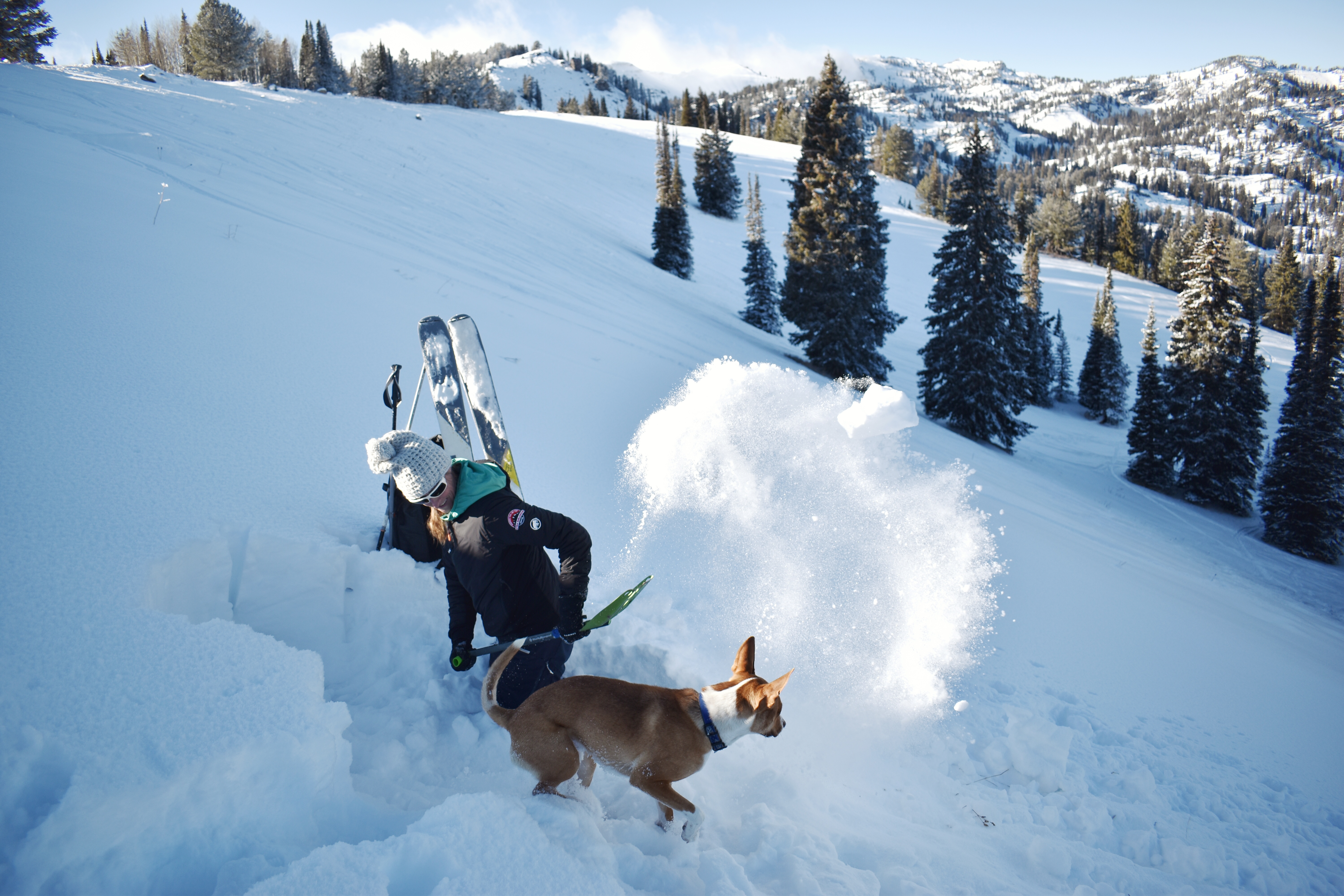
Expect rising danger and heightened avalanche conditions in the backcountry as new snow stacks up, especially where it drifts, overloading upper-elevation northerly facing slopes where we’ve observed very weak, sugary snow.
The danger will rise to MODERATE on some slopes later today.
Low
Moderate
Considerable
High
Extreme
Learn how to read the forecast here
Special Announcements
The 5th Annual Avalanche Awareness Week is December 3-10. The week's goal is to save lives through activities that promote avalanche awareness, education, and safety. We have a variety of events around the state. Find an event near you.
Weather and Snow
The National Weather Service has issued a Winter Storm Warning for the Logan Zone as heavy snowfall begins today and lasts through the weekend. Periods of rapid accumulations are expected today, especially this afternoon and again late tonight. Westerly winds will blow 10 to 20 mph on the ridges, and a foot or two could accumulate on upper-elevation slopes by tomorrow morning. Another foot is possible tomorrow, with west-southwest winds increasing to 15 to 25 mph and gusts around 40 mph. Heavy snowfall is expected to continue in the mountains through Sunday night.
Only up to about 2 feet of snow covers the rocks on the highest shady slopes in the Bear River Range. Only 14 inches of total snow is on the ground at the 8400' Tony Grove Snotel. Recent cold temperatures subjected the shallow snow to a significant temperature gradient, causing it to become faceted and weak. There is very little snow at mid and lower elevations, and many sunny slopes are bare, as seen in my Wood Camp observation yesterday.
Recent Avalanches
No avalanche activity has been reported yet this season in the Logan Zone.
Ad
Avalanche Problem #1
Persistent Weak Layer
Type
Location
Likelihood
Size
Description
The meager November snow in upper elevation avalanche starting zones barely covers the rocks, and it is extremely weak and sugary due to its shallowness and sustained cold temperatures. As drifting snow from this weekend’s storm overloads this weak faceted snow, avalanches could fail on a persistent weak layer.
Paige throws a shovel full of weak, cohesionless snow on a north-facing slope at 8800' in the Central Bear River Range
Additional Information
Additional Information:
It’s been a busy fall, and I’m happy to report that we’ve recently installed two new weather stations in the Logan Zone. They are both up and running, producing real-time data available to the public, and they will help us forecast mountain weather and local avalanche danger more accurately.
  • The Paris Peak Weather Station (available HERE) was installed in the northern Bear River Range near the summit of Paris Peak at around 9500 feet in elevation, northwest of Bear Lake. It measures mountain-top winds in a vast area without similar data.
  • We installed the Card Canyon Weather Station (available HERE) near Red Pine Ridge at about 8750 feet in elevation north of Logan Peak in upper Card Canyon. In addition to other weather details, this station will measure the total snow depth and its changes throughout the winter.

Taking time to pull out, check your companion rescue gear, and practice with your transceiver is essential.
General Announcements
The Tony Grove Road is not maintained for winter driving, and you will likely encounter very slick, snowy, and icy conditions if you venture up there.
Our 20th annual Pray For Snow fundraiser party will be on Tuesday night, December 5, at the Cache on Main Street in Logan. For more information and to get your tickets in advance, go to our events page.
Know Before You Go - December 6 - Utah State University, Logan. It’s Free! Please join us for a KBYG presentation hosted by Utah State University from 6:00 - 8:00 PM: Location: USU Aggie Recreation Center (ARC), 805 E 700 N, Logan, UT.