31st Annual Backcountry Benefit - September 12th - Tickets Available Here!

Forecast for the Logan Area Mountains

Toby Weed
Issued by Toby Weed on
Tuesday morning, November 28, 2023
Lacking enough snow on most slopes to be a problem, avalanches are unlikely. Exceptions might be found on drifted upper-elevation northerly-facing slopes, where triggering an avalanche 1-2' deep that fails on fragile faceted snow may be possible. A series of productive, sustained winter storms are expected this weekend, so get out your dancing shoes, wax the boards, and fire up your sled.
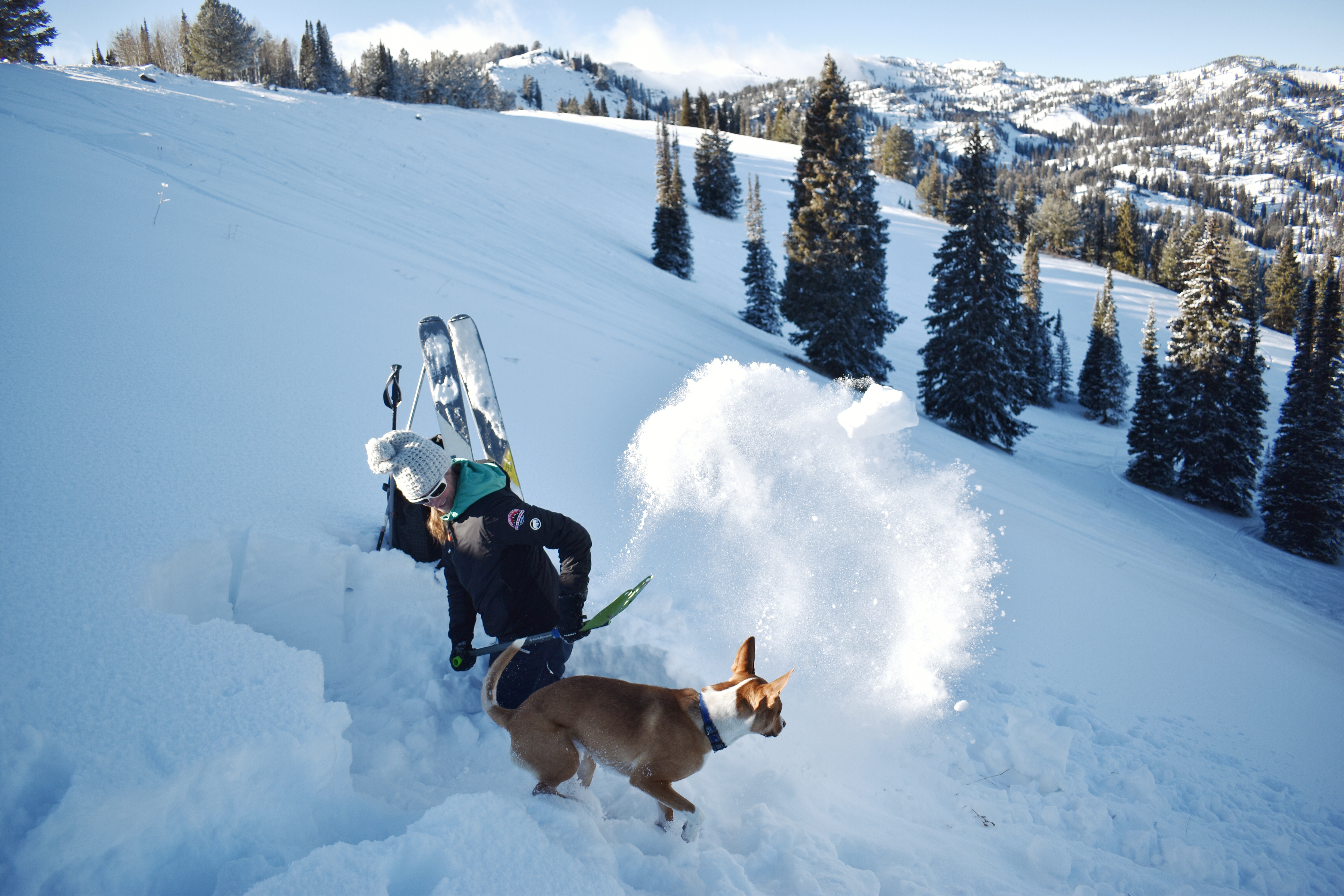
Before the storms hit, take some time to pull out, check your companion rescue gear, and practice with your transceiver.
Low
Moderate
Considerable
High
Extreme
Learn how to read the forecast here
Special Announcements
Announcement: The 5th Annual Avalanche Awareness Week is December 3-10. The week's goal is to save lives through activities that promote avalanche awareness, education, and safety. We have a variety of events around the state. Find an event near you.
Weather and Snow
Only 1 to 2 feet of snow covers the rocks on the highest shady slopes in the Bear River Range. The snow is sugary and weak, and cold temperatures create a significant temperature gradient in the shallow snow, causing it to become faceted and weakening. The snow is so shallow in most places that hitting shallowly buried rocks is the biggest concern. Now is the worst time to get a season-ending injury, and the very shallow conditions in the backcountry require us to use caution.
Keep your fingers crossed for a decent storm expected to impact the region this weekend, but also be prepared for rising avalanche danger in the backcountry.
Paige shovels through weak, cohesionless snow in Beginner Bowl.
Recent Avalanches
No avalanche activity has been reported recently in the Logan Zone.
Ad
Avalanche Problem #1
Normal Caution
Type
Location
Likelihood
Size
Description
Additional Information
It’s been a busy fall, and I’m happy to report that we’ve recently installed two new weather stations in the Logan Zone. They are both up and running, producing real-time data available to the public, and they will help us forecast mountain weather and local avalanche danger more accurately.
The Paris Peak Weather Station (available HERE) was installed in the northern Bear River Range near the summit of Paris Peak at around 9500 feet in elevation, northwest of Bear Lake. It measures mountain-top winds in a vast area without similar data. We installed the Card Canyon Weather Station (available HERE) near Red Pine Ridge at about 8750 feet in elevation north of Logan Peak in upper Card Canyon. In addition to other weather details, this station will measure the total snow depth and its changes throughout the winter.
It’s never too early to start thinking about avalanches. Here are a few things to consider doing:
Get your avalanche rescue gear ready for winter. Put fresh batteries in your transceiver and update the firmware. Inspect your shovel and probe. Get your airbag backpack ready by possibly doing a test deployment and updating the firmware if it is an electric version.
Sign up for an avalanche class. Learn more about avalanches and decision-making. Hit the education tab on utahavalanchecenter.org for class listings.
Take a free online avalanche course the UAC built for Know Before You Go or other courses listed on the KBYG website (Develop skills -> Online Learning).
General Announcements
The Tony Grove Road is not maintained for winter driving, and you will likely encounter very slick, snowy, and icy conditions if you venture up there.
Our 20th annual Pray For Snow fundraiser party will be on Tuesday night, December 5, at the Cache on Main Street in Logan. For more information and to get your tickets in advance, go to our events page.
Know Before You Go - December 6 - Utah State University, Logan. It's Free!
Please join us for a KBYG presentation hosted by Utah State University from 6:00 - 8:00 PM: Location: USU Aggie Recreation Center (ARC), 805 E 700 N, Logan, UT.