Forecast for the Abajos Area Mountains

Friday morning, January 30, 2026
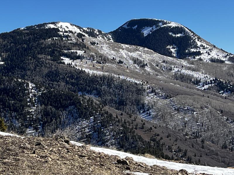
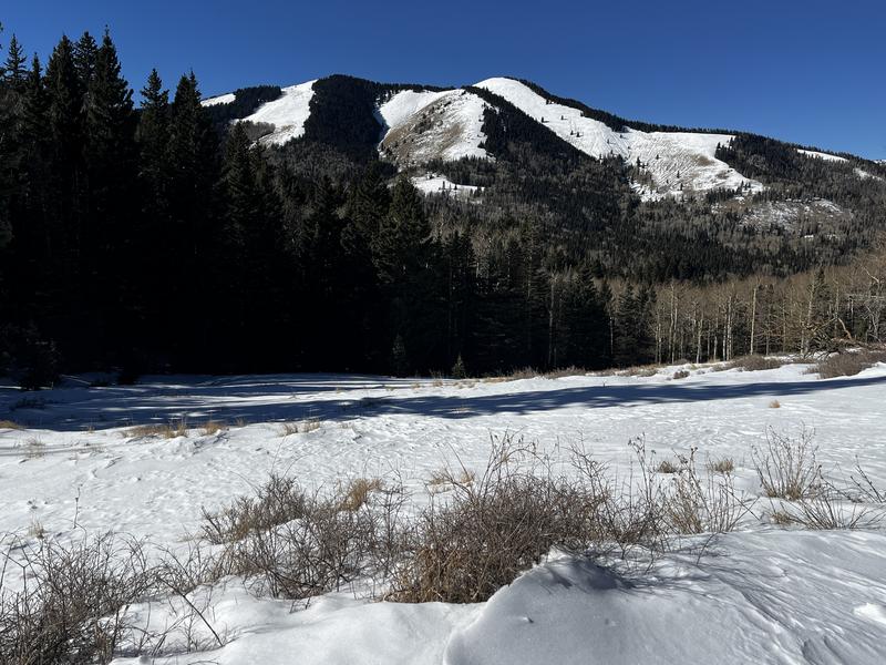
It's been a week since we saw any new snow and the the likelihood for human triggered avalanches has decreased. Strong winds blowing from the west and northwest however, have continued to blow and drift snow on to leeward slopes facing N-NE-E at mid and upper elevations. In these areas, slabs of wind drifted snow sit on top of weak, sugary, faceted snow. Minimize your risk by avoiding steep slopes that have recent deposits of wind drifted snow. Wind drifts form on the leeward sides of ridge crests and terrain features such as gully walls and sub-ridges. They are often recognizable by their smooth rounded appearance and cracking is a sign of instability. In some cases, avalanches triggered in the new snow could step down into buried weaker layers causing a deeper and more dangerous avalanche. Avoid terrain that has steep convexities, or areas of rocky, more radical terrain. You can avoid the problem altogether by avoiding slopes steeper than 30 degrees.