


Week in Review for Friday, January 9th - Thursday, January 15th, 2026
We look back at the key events from the previous week. Click HERE for archived forecasts. This week's Week in Review was written by Bo Torrey
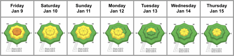
Summary: After a series of storms moved through the area, the clouds parted to reveal the best powder skiing weekend of the season. High pressure is now building, temperatures are warming, and weather models suggest it may be a while before we see significant precipitation again.
While the storm cycle produced minimal natural avalanche activity, a complex problem remains. A slow trickle of avalanches breaking deep on facets near the ground keeps the potential for large slides front and center. This low-probability, high-consequence hazard requires continued vigilance as we begin to push into new terrain.
Still, the overall trend is towards decreasing danger. Consequently, the forecast team has decided to remove mid-elevations from the Persistent Weak Layer (PWL) distribution, and discussions have begun regarding moving this problem to "dormant" status.
Friday, January 9: An additional 4–8 inches of low-density snow fell overnight, capping off our recent storm cycle. The sun rose to clear skies, accompanied by strong early morning winds drifting snow high along exposed ridges. A few larger natural avalanches were reported from upper White Pine (credit: K. Toohey). Elsewhere in the range, observers noted many soft slabs failing on a thin layer of near-surface facets and surface hoar. By far, this offered the best conditions of the season.
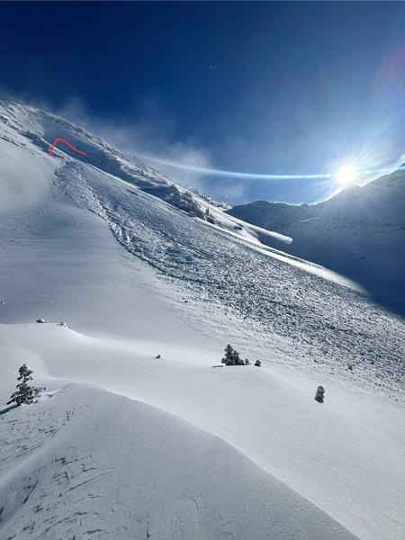
Saturday, January 10: As the ridge settles in overhead, the northwest flow strengthens, and temperatures begin their steady rise; meanwhile, the four winds blow Bob Weir home and leave many of us hoping the stage is set for a late Januweiry miracle. Backcountry riders began traveling into north-facing terrain to investigate the persistent weak layers (PWL) near the ground. On mid-elevation slopes, the PWL appears unreactive and strengthening, producing no obvious signs of instability. As a result, the forecast team has begun discussing removing mid-elevation slopes from the PWL distribution.
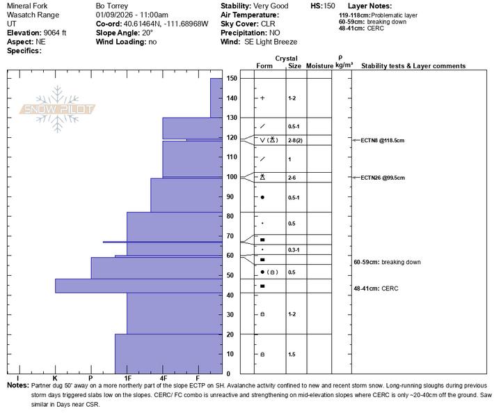
Sunday, January 11: It was another sunny, beautiful day. However, a standout avalanche reported from Stairs Gulch validates lingering concerns regarding the persistent weak layer in high-elevation, thin, and rocky areas. This avalanche likely ran Friday night or early Saturday morning and seemed anomalous to forecasters. As temperatures climbed above freezing, small wet-loose avalanches also began to release on sunny slopes.
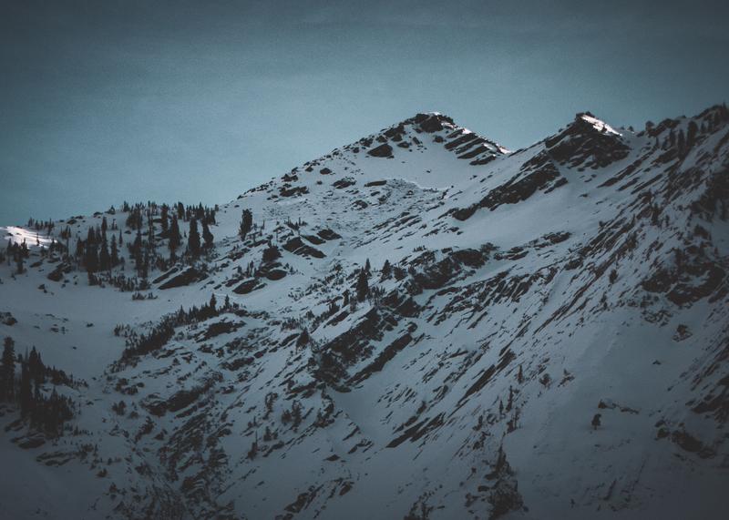
Monday, January 12: Warm temperatures and wind have created variable snow surfaces, leaving only a small sliver of soft snow on mid- to upper-elevation shady slopes. A few small wet-loose avalanches were reported from the backcountry. We also received late reports of a ski area control team triggering large avalanches failing on the ground on Saturday morning. These slopes matched our most concerning profile: steep, rocky, upper-elevation start zones on the northern half of the compass.
Tuesday, January 13: Ridge-top winds at 11,000' blowing from the north drifted snow onto southerly aspects. Protected surface snow is beginning to facet and elsewhere becoming a mixed bag of crusts and wind-affected textures. Conditions start to feel like spring with frozen snow, softening through the day on sunny slopes, and parking lot barbeques are in full swing.
Wednesday, January 14: Temperatures continue to warm each day slightly, shrinking the remaining pockets of soft snow. Still, travel conditions have improved greatly in the last couple of weeks, and people are venturing into parts of the range for the first time this season; it is nice to spread our wings. Reports of a fresh glide avalanche on the Diving Board in Broad’s Fork highlight the dense snowpack settling under the warming trend.
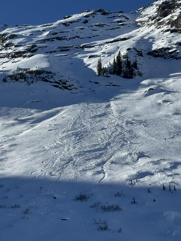
Thursday, January 15: Another sunny bluebird day with warm mountain temperatures, breezy ridge top winds blowing from the NW continue to scrape at what little soft snow remains. Wind drifts are scattered throughout the upper elevations, but none appear to be reactive. Weather models hint at a distant storm event, but it is at least another week away and the range of possibilities is wide. The forecast team has a lengthy discussion about conditions and reach a consensus on moving to LOW danger.




