


Week in Review for Friday, January 23rd - Thursday, January 29th, 2026
We look back at the key events from the previous week. Click HERE for archived forecasts.
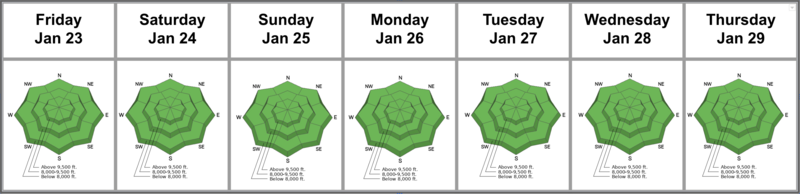
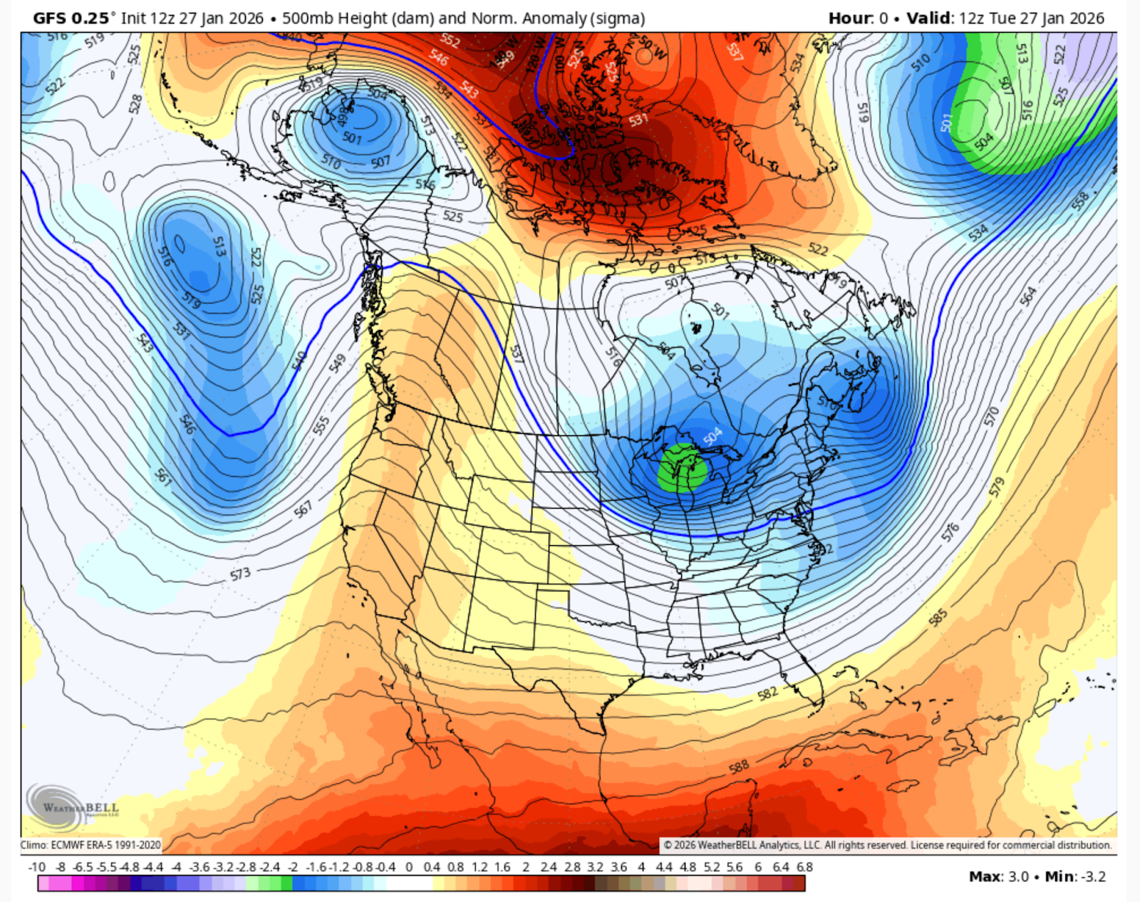
Summary: High pressure continues its stranglehold over the intermountain West. See GFS weather model below. The central Wasatch has been at LOW avalanche danger since Friday, January 16th…and the most recent significant avalanches were way back on January 10th. Longer running sluffs in the weak surface snow become more commonplace. 1-3" of new snow on Wednesday night greatly improved the riding conditions. But we're still a bit shy of the Greatest Snow on Earth.
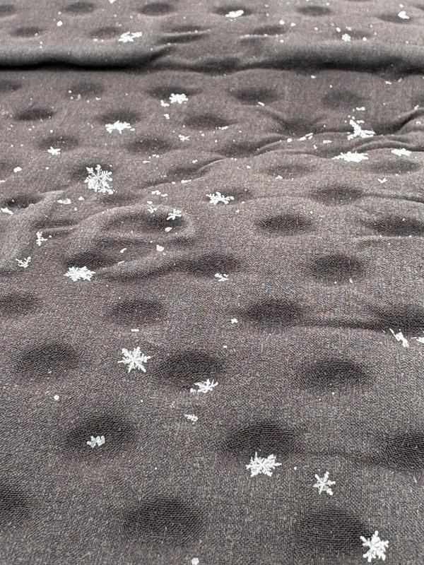
Friday, January 23rd: The storm on the northern track provides for overcast skies and a trace of new snow. Few people recognize the snow for what it is, as even the old timers scratch their heads at these hexagonal shapes floating from the sky. (pc: Bo Torrey). Valley residents rejoice as the cold air advection helps sweep the smog out of the valley, and the skies are clear again. But total snowfall is just a trace, if that.
Saturday, January 24th: Skies clear in the wake of the “storm”, but much colder air filters in from the north, and temperatures plummet to single digits and low teens.
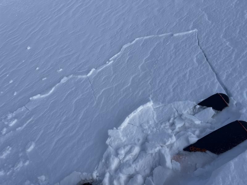
Sunday, January 25th: Winds pick up out of the northwest, and many observers note shallow but sensitive soft slabs of new snow that fail on the weak pre-existing recrystallized snow. Greg Gagne’s photo shows some cracking and plating with the new wind drifts. One skier is caught and carried in a shallow, loose dry sluff on the Raymond Slabs (2nd photo).
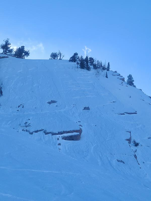
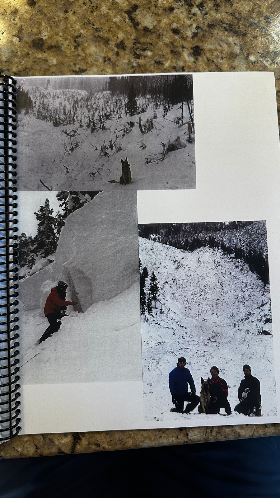
Monday, January 26th: More high and dry weather. Long time backcountry skier and UAC observer Mark White heads to No Name Bowl on the south end of the Park City ridgeline and intentionally triggers long-running loose dry facet sluffs that run a few hundred feet down the path. (Mark White pic below). Turning conditions remain decent, if slow, in the recrystallized snow. It’s a far cry from 30 years ago, when the Wasatch received 16 feet of snow in 16 days, with Avalanche Warnings issued every day from January 17th-31st. On this day, the elegant Argenta avalanche path on Kessler crossed the road after a bombing mission. The previous time it crossed the road was 1947. 2nd photo is of Argenta, 1996. The two photos below could not be more different. To read more on this dramatic winter, check our Annual Report from 1995/1996.
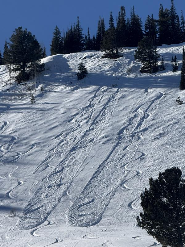
Tuesday, January 27th: More of the same.
Wednesday, January 28th: Skies turn overcast ahead of a weak system passing by to the north…and light snowfall commences by afternoon. Drew heads down to Provo to dig a profile near the spot he dug exactly three weeks ago only to find that the old snowpit remained almost perfectly intact!
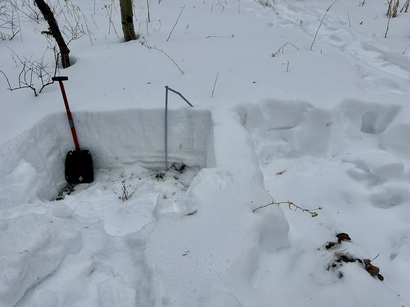
Thursday, January 29th: The storm didn’t add up to much - just 1-3 inches in the central Wasatch, but skiers and riders report much improved riding conditions! Ski areas report sluffing in the new snow, with some sluffs gouging into the surface facets, leaving debris piles almost deep enough to bury a person.
.




