


Week in Review for Friday, January 16th - Thursday, January 22nd, 2026
We look back at the key events from the previous week. Click HERE for archived forecasts.
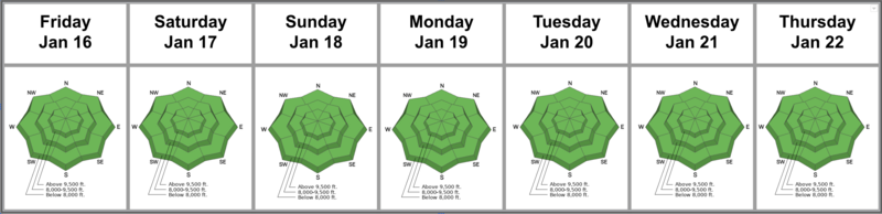
Summary: We dropped to LOW avalanche danger on Friday, January 16th…and it was a veritable sea of green for the week. The only reported avalanche of significance during the week was on Friday with explosive control work in upper LCC. The most recent significant avalanches were way back on January 10th.
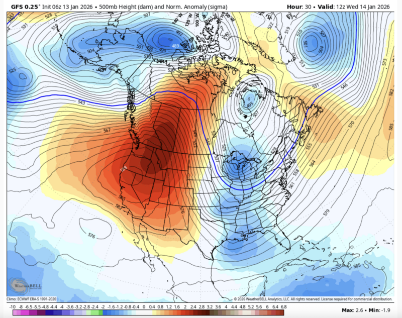
In his forecast for Thursday January 8th, Drew Hardesty wrote, “I hate to say it, but Get it while you can, because we go high and dry after this.” Little did we know How high and How dry: it hasn’t snowed a single snowflake since. Bo Torrey put a screenshot of the synoptic weather picture (below) on his Tuesday January 13th forecast, calling it a ‘ferocious ridge’ (photo below)...and little has changed since. The inversion’s stranglehold waxes and wanes with weak disturbances that pass by, but smog is the dominant feature in the valleys with warm temps and abundant sunshine in the mountains. As can be expected, the snow surfaces become weak and faceted on the polar aspects (actually preserving or improving the skiing and riding conditions) while the solar aspects continue to develop world class crusts…or we see the little pre-existing snow just fade away.
Friday, January 16: Guest forecaster Luke Nelson wrote, The weather is starting to feel like we are waking up as Bill Murray’s character Phil in the 90’s movie Groundhog Day. We drop the overall danger to LOW, but keep the PWL as an unlikely and trending dormant “Problem” and re-issue the essay, Is it Really LOW Danger? With explosive control work, avalanche teams were able to trigger an 18” soft slab failing on surface hoar in very protected northerly terrain at 10,700’.

.
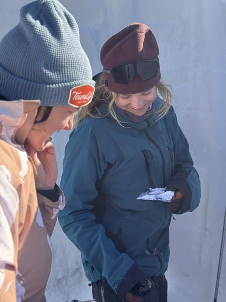
Saturday, January 17: Greg Gagne toured into upper Glacier Bowl of White Pine in LCC and found stable snow along with a hodge-podge of snow conditions. Tony Pavlantos’s Avalanche Level 2 course takes a hard look at the snow structure - including snow grain identification - in upper BCC.
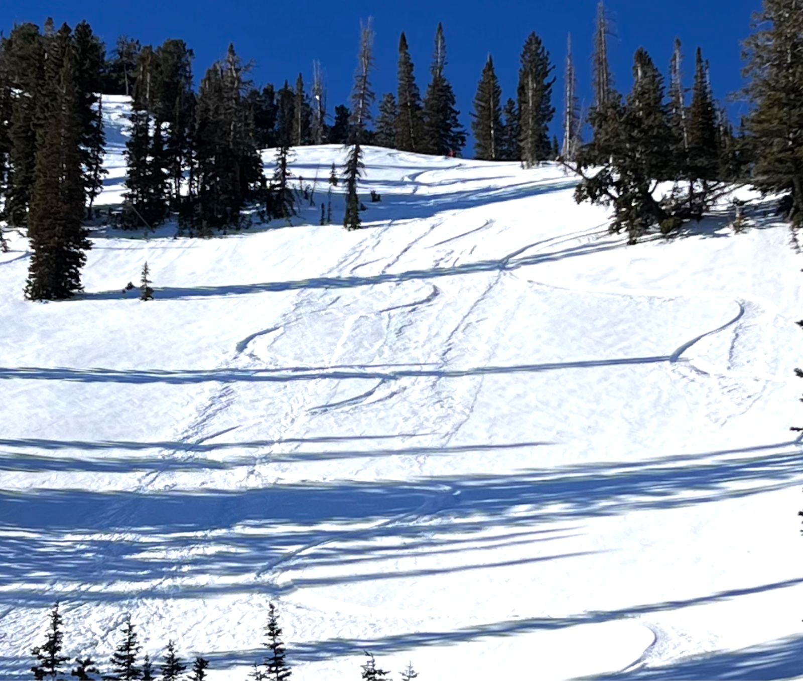
Sunday, January 18: More of the same. Nikki Champion toured into upper Cardiff and Mineral Forks of BCC and found stable snow along with weakening (faceting) snow surfaces. Surface hoar was noted up to 9000’. She did note, however, that the conditions on the exit from Mineral were brutal. The price of admission was free, but I’m sure Nikki and company were humming Hotel California on their way out. Photo below. The weak snow surfaces are beginning to lose cohesion and are now sluffing in steep terrain. (Cookler photo below).
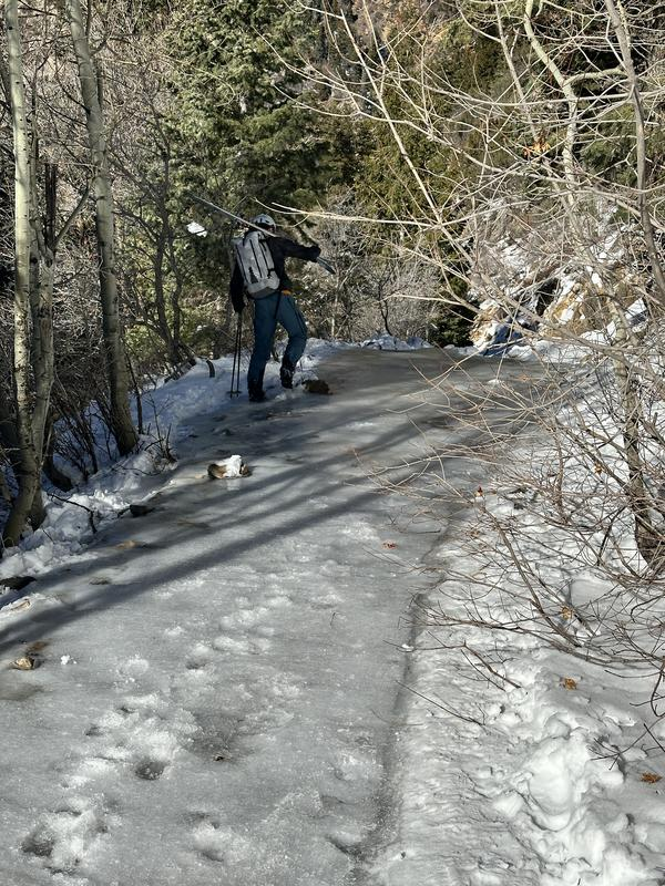
Nikki Champion rated the exit out of Mineral Fork as ‘Waterfall Ice 2’
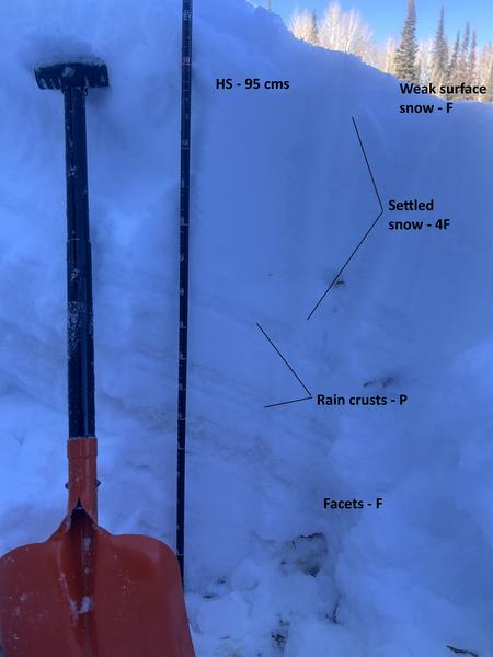
Longtime observer Andy Paradis notes the snowpack structure in mid-elevation northerly terrain along the north end of the Park City ridgeline, below. We are also noting facets developing among the holiday crusts. Pic below.
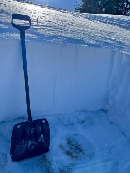
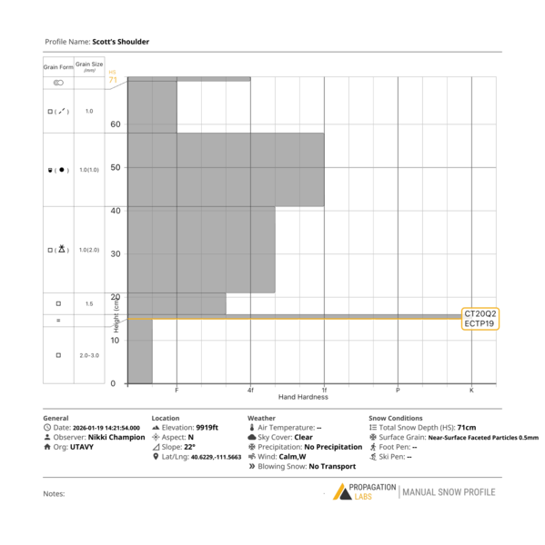
Monday, January 19: More high and dry weather. Long time avy pro Chris Stowe reported that he walked, skinned, and bushwacked his way up through Bowman and Yellow Jacket. Snow was really hit and miss up to around 8000, but noted that the wind-board in the higher elevations of Alexander “have started to facet out, which made for a nice riding surface.” Nikki and Mack Talty’s snowpit along the PC ridgeline was even weaker than they expected, noting that the basal facets were literally falling out of the snowpit near the ground. Photos below.

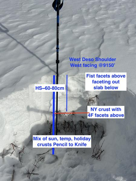
Tuesday, January 20: Sunny with a few high ripples of clouds roll through on the northwest flow. Drew Hardesty looks at westerly aspects and confirms that west facing structure is also a mess of facets and crusts (photo). Skiing and riding remains decent in the recrystallized surface snow.
Wednesday, January 21: The song remains the same, and it ain’t rock and roll - it’s the blues. We pull PWL out of the forecast, leaving Normal Caution with attendant Island of Misfit Toys concerns (isolated winds slabs, loose dry and wet sluffs) on the docket.
Thursday, January 15: More of the same. No reports from the backcountry. Optimistically, the forecast begins,
A storm! Actually two storms!......But they are well to the north and east...and well to the south and west of us.
Many of us start looking at ticket prices for Hokkaido.




