| Please join us at the 23rd annual Black Diamond Fall Fundraiser Party Thursday Sept 15. Tickets are on sale now here, at the Black Diamond store & at REI. Special bonus raffle for online ticket purchasers! |
| Please join us at the 23rd annual Black Diamond Fall Fundraiser Party Thursday Sept 15. Tickets are on sale now here, at the Black Diamond store & at REI. Special bonus raffle for online ticket purchasers! |
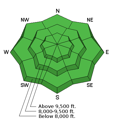
| Advisory: Skyline Area Mountains | Issued by Brett Kobernik for Sunday - April 3, 2016 - 6:35am |
|---|

|
bottom line The majority of the terrain has a LOW avalanche danger today. Watch out if the snow becomes really wet from daytime heating and avoid confined terrain at that time.
|
 |
special announcement Next weekend will be the last regular avalanche advisories for the season. |
 |
current conditions Temperatures were a little warmer overnight compared to Friday night. Lows were in the low to mid 30s. With clear skies overnight, there still should be a solid refreeze of the snow surface. West wind is light to moderate in speed. You'll find frozen crusts on the surface on most terrain out there this morning. There is still a little cold dense snow on the sheltered higher north facing slopes. |
 |
recent activity The unofficial hill climbs took place on Saturday and every steep slope you can imagine got hit without anyone triggering anything significant. In fact, I could see no signs of any avalanche danger. It seems about as stable as it gets. |
| type | aspect/elevation | characteristics |
|---|

|
|
LIKELIHOOD
 LIKELY
UNLIKELY
SIZE
 LARGE
SMALL
TREND
 INCREASING DANGER
SAME
DECREASING DANGER
|
|
description
The snowpack is mostly stable right now. Cornices are quite large and often break back farther than you expect so give them due respect. Temperatures are going to be slightly warmer today and the daytime heating may produce some minor wet snow avalanche activity. Be careful if you end up in confined terrain such as a gully where even a small wet slide can funnel and pile up fairly deep. |
 |
weather It looks like another gorgeous day to get into the hills today. We will see a few high clouds roll through. High temperatures are going to be slightly warmer than Saturday getting into the mid to upper 40s along the ridges. West wind looks light to moderate in speed. There will be a few more clouds on Monday with similar temperatures and an increase in wind speed. A very minor storm clips northern Utah late Monday night and it might produce minor snow showers. Tuesday looks somewhat windy then temperatures get really warm on Wednesday and Thursday. Weather models are still hinting at a "closed low" storm moving through next weekend which might produce some snow. |
| general announcements We will publish full detailed advisories Saturday and Sunday mornings by 7am. We will also be publishing basic avalanche danger ratings & info during the week. If you are getting out into the mountains, we love to hear from you! You can SUBMIT OBSERVATIONS ONLINE or EMAIL US If you would like to have avalanche advisories emailed to you, SIGN UP HERE We can provide basic avalanche awareness presentations for your school, group or club. To enquire, CLICK HERE |


