| Please join us at the 23rd annual Black Diamond Fall Fundraiser Party Thursday Sept 15. Tickets are on sale now here, at the Black Diamond store & at REI. Special bonus raffle for online ticket purchasers! |
| Please join us at the 23rd annual Black Diamond Fall Fundraiser Party Thursday Sept 15. Tickets are on sale now here, at the Black Diamond store & at REI. Special bonus raffle for online ticket purchasers! |
| Advisory: Skyline Area Mountains | Issued by Brett Kobernik for Sunday - February 28, 2016 - 6:56am |
|---|

|
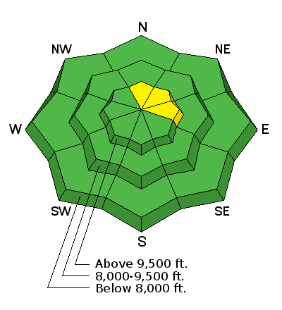
bottom line The avalanche danger remains mostly LOW along the Manti Skyline today. There is still a remote chance that you could trigger an avalanche that breaks to the ground in the high elevation very steep north through east facing terrain.
|
 |
current conditions The wind picked up a bit on Saturday and was able to transport some snow in the higher terrain. Temperatures along the upper ridges were around 40. Nice settled dense powder still remains on the more shady northerly facing slopes.
Ski up track filled in by wind drifted snow within an hour or so of when it was cut on Saturday. |
 |
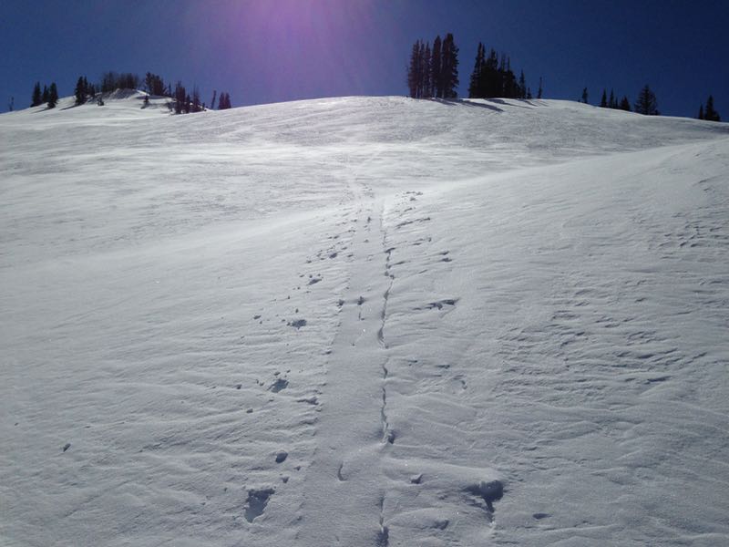
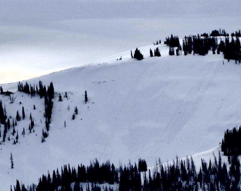
recent activity No new avalanches were reported along the Manti Skyline but there was one that occurred in the Central Wasatch Mountains which was skier triggered and broke into old weak snow near the ground. It was in an avalanche path that has avalanched a number of times this year already. I spotted these tracks in a bowl on the east end of Staker Canyon today. This is an avalanche path that has already avalanched this year. You can see how shallow it is by some of the rocks poking through the snow. This is the type of terrain where it would be most likely to trigger an avalanche today. Chances are slim but still possible.
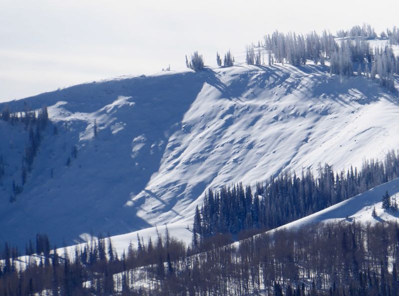
Below is a photo of the path after it avalanched just before Christmas.
|
| type | aspect/elevation | characteristics |
|---|

|
|
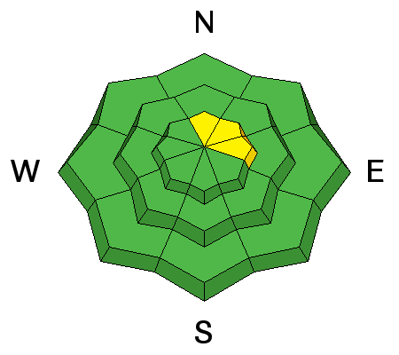
LIKELIHOOD
 LIKELY
UNLIKELY
SIZE
 LARGE
SMALL
TREND
 INCREASING DANGER
SAME
DECREASING DANGER
|
|
description
At this point, it seems pretty unlikely that someone will trigger a deep slab avalanche breaking into weak sugary snow near the ground. If it were to happen, upper elevation north through east facing slopes nearing 40 degrees in steepness is the most likely terrain locations. |
 |
weather We'll see partly cloudy skies again today with ridgetop highs again around 40. Wind speeds should be light to moderate in speed from a west northwest direction. They should be slower in speed than what we saw on Saturday. Monday looks similar with a bump in wind speeds and another storm that looks like it will be forced to our north by the dominate ridge of high pressure. This storm originally looked like it might give us a little snow but I'm thinking we're not going to see any now. |
| general announcements We will publish full detailed advisories Saturday and Sunday mornings by 7am. We will also be publishing basic avalanche danger ratings & info during the week. If you are getting out into the mountains, we love to hear from you! You can SUBMIT OBSERVATIONS ONLINE or EMAIL US If you would like to have avalanche advisories emailed to you, SIGN UP HERE We can provide basic avalanche awareness presentations for your school, group or club. To enquire, CLICK HERE |