| Please join us at the 23rd annual Black Diamond Fall Fundraiser Party Thursday Sept 15. Tickets are on sale now here, at the Black Diamond store & at REI. Special bonus raffle for online ticket purchasers! |
| Please join us at the 23rd annual Black Diamond Fall Fundraiser Party Thursday Sept 15. Tickets are on sale now here, at the Black Diamond store & at REI. Special bonus raffle for online ticket purchasers! |
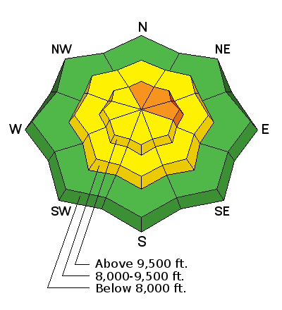
| Advisory: Skyline Area Mountains | Issued by Brett Kobernik for Sunday - January 31, 2016 - 6:36am |
|---|

|
bottom line The majority of the terrain has a LOW to MODERATE avalanche danger. However, a CONSIDERABLE avalanche danger does exist in the higher steep north through east facing terrain. The danger will increase into Monday if we get the high end of the forecast snow totals.
|
 |
current conditions Most areas along the Skyline have picked up about 6 inches of new snow with a few stations from Six Mile Canyon and south getting around 10 inches. Northwest wind speeds never really got to crazy and have dropped off now. Temperatures have dropped to around 10 degrees. |
| type | aspect/elevation | characteristics |
|---|

|

|
LIKELIHOOD
 LIKELY
UNLIKELY
SIZE
 LARGE
SMALL
TREND
 INCREASING DANGER
SAME
DECREASING DANGER
|
|
description
The new snow won't have changed the avalanche conditions much. There is still a chance that you could trigger a slide that breaks into deeply buried weak layers in the steep north through east facing higher terrain. |
 |
weather We're going to have a cloudy day today as the next storm approaches. Ridgetop high temperatures should be around 20 and westerly winds will remain fairly light. We'll see some snowfall but not much accumulation will add up until tonight and Monday. Wind speeds shift east for a period overnight and then get a bit breezy from the north on Monday. It's looking like we could see another 6 to 12 inches of snow by the time the storm winds down on Tuesday morning. |
| general announcements We will publish full detailed advisories Saturday and Sunday mornings by 7am. We will also be publishing basic avalanche danger ratings & info during the week. If you are getting out into the mountains, we love to hear from you! You can SUBMIT OBSERVATIONS ONLINE or EMAIL US If you would like to have avalanche advisories emailed to you, SIGN UP HERE We can provide basic avalanche awareness presentations for your school, group or club. To enquire, CLICK HERE |


