25th Annual Black Diamond Fall Fundraising Party
Thursday, September 13; 6:00-10:00 PM; Black Diamond Parking Lot
25th Annual Black Diamond Fall Fundraising Party
Thursday, September 13; 6:00-10:00 PM; Black Diamond Parking Lot
| Advisory: Ogden Area Mountains | Issued by Paige Pagnucco for Saturday - January 28, 2017 - 5:42am |
|---|

|
bottom line The avalanche danger today is MODERATE. Evaluate the snow and terrain carefully as human triggered avalanches are possible. Persistent slabs failing 2-4 feet deep are still a concern as well as wet activity on southerly facing slopes as daytime heating occurs.
|
 |
special announcement Do you buy groceries at Smiths? Register your Smith’s rewards card with their Community Rewards program, and they will donate to the Utah Avalanche Center whenever you make a purchase. It's easy, only takes a minute, and doesn't cost you anything. Details |
 |
current conditions Morning temperatures are generally in the teens and winds are blowing out of the north around 10 mph with gusts on the ridge tops near 20 mph. High pressure has set up shop which means that it'll be another beautiful day in the mountains. Observers are reporting top notch powder riding conditions.
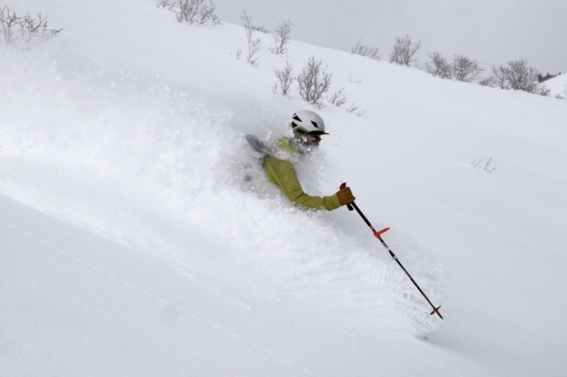
An Ogden observer found excellent turning conditions Thursday. (pc:M. Henderson) |
 |
recent activity No new avalanches have been reported in the Ogden area backcountry for a few days. Of note though are the six persistent slabs that were triggered yesterday in the Salt Lake zone - take a minute to read the SLC advisory or check out our observations page for all the details. There were many slides reported in the Ogden area mountains since the beginning of the storm that dropped about 50" of snow or 2.5" - 3.5" of snow water equivalent last week. Roadside paths to both Powder Mountain and Snowbasin slid during the peak of the storm. Natural avalanches from Monday were observed all around the Cutler Ridge and Cutler Creek area on Tuesday. Wednesday near Lewis Peak, a skier reported cracks shooting 10-20 feet in front of his ski tips. Also, a skier in the backcountry near Snowbasin reported fast sluffs in the new snow running up to 600 feet. There were also reports of soft slabs running on top of Monday's now buried windslabs. Wednesday, a skier was caught and carried in a slide on Mt Aire which is just west of Lambs Canyon along I-80. Although this slide happened closer to SLC, it is relevant to the Ogden area as the buried surface hoar was the weak layer. Fortunately this skier was not buried or injured. He was the second person to descend the slope. UAC staff looked at this slide and found widespread buried surface hoar about 2 feet deep on W, N and E aspects. A report is available HERE. |
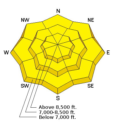
| type | aspect/elevation | characteristics |
|---|

|
|
LIKELIHOOD
 LIKELY
UNLIKELY
SIZE
 LARGE
SMALL
TREND
 INCREASING DANGER
SAME
DECREASING DANGER
|
|
description
This past week's persistent slab avalanches were triggered on a layer of buried surface hoar or on a layer of small, faceted crystals buried 2-4 feet deep. This layer is widespread in the Ogden area mountains though there are some places where it was destroyed prior to the storm. The buried surface hoar is most dangerous where it was sheltered from the wind and buried intact. It might catch you off guard as you descend into sheltered, lower and mid-elevation slopes or gullies. Though observers near Ben Lomond noted its presence Thursday and were unable to get propagation while performing stabiity tests, this type of weak layer is deceptive and takes a while to strengthen. Because this weak layer can be coy, your best bet for finding it is to dig about 4 feet deep, perform stabilty tests like the ECT, and make sure it doesn't exist. Buried surface hoar does not behave like a typical weak layer so a lack of cracking, collapsing, or other obvious signs of instability does not mean slopes are stable. Tracks from other people are also not a guarantee of stability. If you are not interested in digging then the easy solution is to avoid being on, connected to, or underneath slopes steeper than 30 degrees.
Left: Observed buried surface hoar near Rodeo Ridge was unreactive to stability tests Thursday. (pc:M. Henderson) Right: One of numerous avalanches failing on buried surface hoar or small facets on Monday in the Cutler Ridge area. (pc: B. Brandt) |
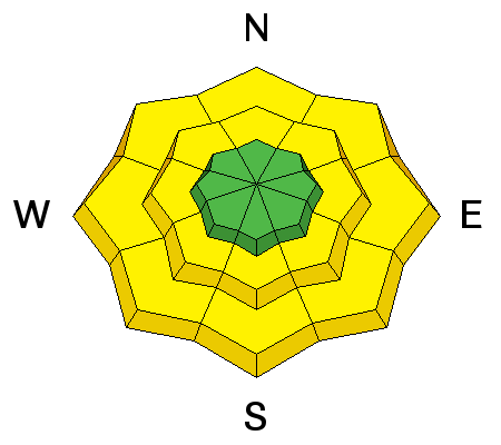
| type | aspect/elevation | characteristics |
|---|

|

|
LIKELIHOOD
 LIKELY
UNLIKELY
SIZE
LARGE
SMALL
TREND
 INCREASING DANGER
SAME
DECREASING DANGER
|
|
description
Snotel sites are showing rapid settlement within the storm snow and we are seeing an overall increase in stability.
|
 |
weather Looks like another stunning day in the mountains with sunny skies, temps in the 20's, and light northwest winds. High pressure will remain in place through at least midweek. |
general announcements
|