| Please join us at the 23rd annual Black Diamond Fall Fundraiser Party Thursday Sept 15. Tickets are on sale now here, at the Black Diamond store & at REI. Special bonus raffle for online ticket purchasers! |
| Please join us at the 23rd annual Black Diamond Fall Fundraiser Party Thursday Sept 15. Tickets are on sale now here, at the Black Diamond store & at REI. Special bonus raffle for online ticket purchasers! |
| Advisory: Ogden Area Mountains | Issued by Greg Gagne for Friday - February 12, 2016 - 7:09am |
|---|


|
bottom line The avalanche danger is mostly LOW this morning. A MODERATE danger remains at high elevations with a few weak layers in the snowpack that could produce an avalanche. Additionally, the danger will rise to MODERATE on south aspects due to a loose wet snow avalanche problem as things warm up.
|
 |
special announcement Tuesday, February 16th - Companion Rescue Clinic at Weller Recreation from 6:30-9pm. For more info HERE. |
 |
current conditions
|
 |
recent activity There was minimal wet loose avalanche activity yesterday on steeper south and west aspects. |
| type | aspect/elevation | characteristics |
|---|

|
|
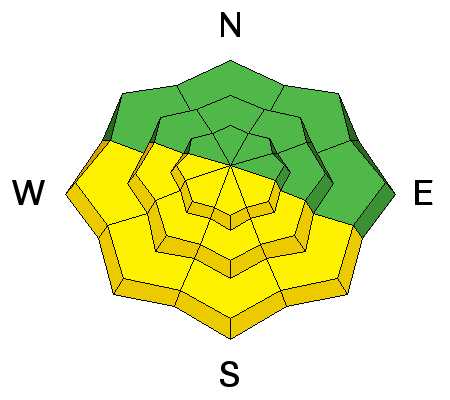
LIKELIHOOD
 LIKELY
UNLIKELY
SIZE
 LARGE
SMALL
TREND
 INCREASING DANGER
SAME
DECREASING DANGER
|
|
description
Overall it seems the majority of wet activity occurred earlier this week, and only minor wet sluffing has been reported the past few days. I received one report from yesterday indicating south aspects softening about 11 am. Although skies were clear, overnight lows are a bit warmer than Wednesday night and the snow may soften earlier this morning. Watch for signs of instability such as pinwheels and rollerballs. It's time to get off of - and out from underneath - the snow surface once it becomes sloppy and over your boot tops. Bruce Tremper provided a great video overview of the snowpack on sunny aspects. |
| type | aspect/elevation | characteristics |
|---|

|

|
LIKELIHOOD
 LIKELY
UNLIKELY
SIZE
 LARGE
SMALL
TREND
 INCREASING DANGER
SAME
DECREASING DANGER
|
|
description
There are a few problems to remain aware of in the Ogden area mountains. Although winds have been blowing with some moderate gusts out of the West and Southwest, there isn't much snow on windward aspects available for transport, so I'm not expecting any new wind drifting. But there may be a few lingering wind slabs from earlier this week, and also a few isolated locations with intact buried surface hoar, as well as some facets around an ice crust buried one to two feet deep. These hazards generally have low probability, but are worth investigating if you get into high consequence terrain. |
 |
weather Temperatures today should reach the mid 40s F with light to moderate winds out of the West and Southwest. Occasional high clouds may stream overhead. Increasing clouds are expected over the weekend with the possibility of a few inches of snow on Sunday with possibly higher snow totals north. Stay tuned. |
general announcements
|


