| Please join us at the 23rd annual Black Diamond Fall Fundraiser Party Thursday Sept 15. Tickets are on sale now here, at the Black Diamond store & at REI. Special bonus raffle for online ticket purchasers! |  |

| Please join us at the 23rd annual Black Diamond Fall Fundraiser Party Thursday Sept 15. Tickets are on sale now here, at the Black Diamond store & at REI. Special bonus raffle for online ticket purchasers! |  |
| Advisory: Ogden Area Mountains | Issued by Evelyn Lees for Tuesday - February 9, 2016 - 6:56am |
|---|
 |
special announcement Tuesday February 9th - Fireside Chat at 7 p.m. at Black Diamond. UAC Forecaster Brett Kobernik will discuss current conditions and his own avalanche involvement on the Skyline from last week. Wednesday February 10th - Avalanche Clinic for Ice Climbers at 6 p.m. at Sandy Momentum climbing gym. For more info click HERE. Thursday, February 10th, the Utah Adventure Journal speaker series features Todd Offenbacher More info HERE. |
 |
current conditions Perhaps we’re on the way to a February corn cycle - soften, freeze, repeat. Temperatures in the Ogden area mountains are in the 30 to 35 degree range, with a few 20s in the valley bottoms where the cold air has pooled. Even with these warm temperatures, the snow surface will be frozen hard this morning because of the clear skies. The northerly winds are light, averaging 5 to 15 mph, with high peak Mt Ogden averaging 20, with gusts to 25.
The hard, early morning crusts will soften everywhere by afternoon. Sheltered, upper elevation northerly facing slopes still harbor dry powder between areas of wind scour and wind slab. |
 |
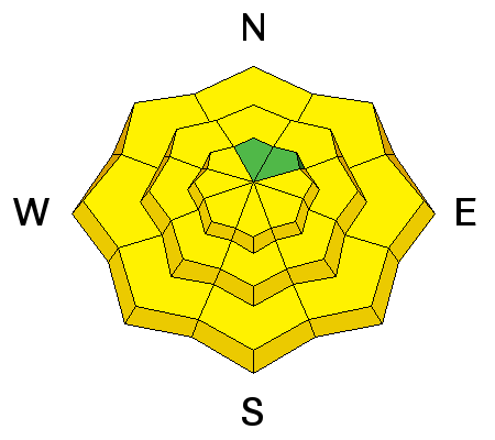
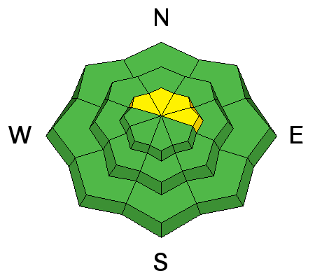
recent activity Yesterday’s few reports included minor wet loose sluffs. In the Ogden area mountains, the easterly facing slopes were the most active. |
| type | aspect/elevation | characteristics |
|---|


|


|

LIKELIHOOD
 LIKELY
UNLIKELY
SIZE
 LARGE
SMALL
TREND
 INCREASING DANGER
SAME
DECREASING DANGER
|
|
description
Three issues related to the heat wave and wet snow avalanches.
|
| type | aspect/elevation | characteristics |
|---|


|


|

LIKELIHOOD
 LIKELY
UNLIKELY
SIZE
 LARGE
SMALL
TREND
 INCREASING DANGER
SAME
DECREASING DANGER
|
description
|
 |
weather Utah is like a ship stuck in the doldrums, becalmed in the center of the strong high pressure ridge. Under sunny skies, ridge line temperatures will soar to near 40 today, and 8,000’ temperatures to near 50. The northerly winds will continue to decrease, until most stations are averaging less than 10 mph. Upper elevation temperatures will remain in the upper 30s Wednesday through Friday, with periods of high thin clouds. A dry cold front will cross northern Utah over the weekend, bringing cooler temperatures to the mountains. |
general announcements
|
Advisory Hotline: (888) 999-4019 | Contact Information