| Please join us at the 23rd annual Black Diamond Fall Fundraiser Party Thursday Sept 15. Tickets are on sale now here, at the Black Diamond store & at REI. Special bonus raffle for online ticket purchasers! |
| Please join us at the 23rd annual Black Diamond Fall Fundraiser Party Thursday Sept 15. Tickets are on sale now here, at the Black Diamond store & at REI. Special bonus raffle for online ticket purchasers! |
| Advisory: Ogden Area Mountains | Issued by Evelyn Lees for Monday - January 11, 2016 - 7:29am |
|---|

|
bottom line The most dangerous terrain today will be the wind zone along the upper elevation ridge lines, where the Avalanche Danger could increase from MODERATE to CONSIDERABLE if the winds continue to blow strongly. Avoid travel on and below steep wind drifted slopes. Out of the wind-affected terrain, the avalanche danger is mostly LOW, but:
|
 |
current conditions Skies are clear this morning, with temperatures mostly in the low teens. However, the northwesterly winds have picked up for the first time in days, averaging 25 mph across the highest Ogden peaks, with gusts to 30 on Mt Ogden. Wind speeds rapidly drop off with elevation, and are in the 5 to 10 mph range at the mid elevations. While most slopes are still powder-covered, a few of the steeper, sunny slopes will be crusted this morning from yesterday’s sun. |
 |
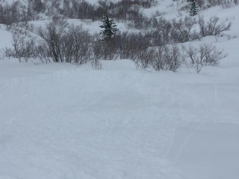
recent activity Saturday, a small slide was triggered in Holy Toledo, a repeater in the same location as one in December. It was about 12" deep by 40' wide, and while the skier scooted out to the side, it was large enough to carry a person. Yesterday, a touring party had very large collapse on a NW facing slope on Box Elder, Provo area mountains, and avalanche reduction work with explosives in the Cottonwoods released two slides to the ground, both on un-skied backcountry like slopes, facing northwest, above 10,000’. Sluffing was the main observation from the Ogden area mountains yesterday. A few newer Ogden area observations here:
Bill Brandt photo - skier triggered sluff on a steep slope, Rodeo Ridge
|
| type | aspect/elevation | characteristics |
|---|

|

|
LIKELIHOOD
 LIKELY
UNLIKELY
SIZE
 LARGE
SMALL
TREND
 INCREASING DANGER
SAME
DECREASING DANGER
|
|
description
Winds along the high ridge lines are blowing and drifting the snow in upper elevation terrain. I expect the wind drifts to become deeper and more widespread as the day goes on, and the avalanche danger may increase to CONSIDERABLE on steep, wind-drifted slopes. Slides could be remotely triggered, breaking both below today's new wind drifts or deeper beneath the past weeks snow. Slopes that slid previously are just as likely to slide if they get loaded with the wind-drifted snow. Watch for isolated wind drifts in mid elevations terrain should the moderate winds dip down into lower terrain.
Out of the wind-affected terrain, the avalanche danger is generally LOW; though expect to be able to trigger dry loose snow sluffs on steep slopes. |
| type | aspect/elevation | characteristics |
|---|

|
|
LIKELIHOOD
LIKELY
UNLIKELY
SIZE
LARGE
SMALL
TREND
INCREASING DANGER
SAME
DECREASING DANGER
|
|
description
With clear skies and the first full day of sun, expect wet loose sluffs on steeper sunny slopes. Naturals are possible, and expect easily human triggered sluffs if the snow surface becomes damp where you are. These sluffs can run far distances in continuously steep terrain. |
| type | aspect/elevation | characteristics |
|---|

|

|
LIKELIHOOD
 LIKELY
UNLIKELY
SIZE
LARGE
SMALL
TREND
 INCREASING DANGER
SAME
DECREASING DANGER
|
|
description
Like a nagging headache that won’t go away, yesterday’s reports of collapsing and explosive released slides breaking near the ground indicate there are still a few isolated places where a person could trigger a slide on the weak basal facets. The most likely terrain would be steep and rocky terrain, with a shallow snow pack, on mid and upper elevation slopes facing northwest through easterly. |
 |
weather High pressure will bring warm, dry weather to the mountains, with valley inversions, for the next few days. Under clear skies and lots of sunshine, Temperatures today will warm into the low 20s at 10,000’ and to near 30 at 8,000’. The northwesterly winds will remain brisk along the highest ridge lines, with 20 – 30 mph averages and gusts to 40. Off the ridge lines, wind speeds should rapidly decrease with elevation.
Starting Wednesday night, a series of small disturbances will bring periods of snow through the weekend. |
general announcements
|