25th Annual Black Diamond Fall Fundraising Party
Thursday, September 13; 6:00-10:00 PM; Black Diamond Parking Lot
25th Annual Black Diamond Fall Fundraising Party
Thursday, September 13; 6:00-10:00 PM; Black Diamond Parking Lot
| Advisory: Logan Area Mountains | Issued by Toby Weed for Saturday - February 3, 2018 - 6:53am |
|---|


|
bottom line Areas with heightened avalanche conditions exist in the backcountry. Cornice fall and wind slab avalanches are possible in drifted upper elevation terrain. Dangerous persistent slab avalanches are unlikely, but remain possible on isolated steep slopes with poor snow structure.
|
 |
special announcement The latest UAC podcast - "Recreating Like a Pro - A Conversation with IFMGA guide Anna Keeling" is live. This podcast will be ideal for anyone looking to pick up some tips and tricks from a professional mountain guide for recreating in the winter backcountry environment. |
 |
current conditions The Tony Grove Snotel at 8400' reports 34°F, and there's 56 inches of total snow at the site containing 87% of normal SWE (or Snow Water Equivalent). It's 33°F at UDOT Hwy 89 Logan Summit and a northwest wind is blowing 10 to 15 mph and gusting to 43 mph this morning. Heightened avalanche conditions exist on drifted upper elevation slopes where human triggered cornice falls and wind slab avalanches are possible. Dangerous persistent slab avalanches continue to become less likely but remain possible slopes plagued by poor snow structure. It rained Saturday night and there's a thick and brittle translucent ice-crust on the snow surface at upper and mid elevations in the Bear River Range. |
 |
recent activity Thursday, we could see evidence of some recent sizable cornice falls and resulting natural wind slab avalanches off the south ridge of Mt. Magog.
|
| type | aspect/elevation | characteristics |
|---|

|
|
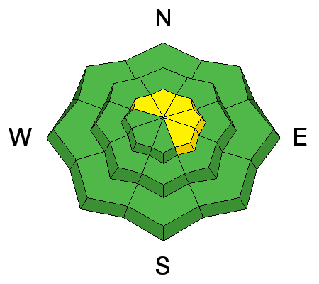
LIKELIHOOD
 LIKELY
UNLIKELY
SIZE
 LARGE
SMALL
TREND
 INCREASING DANGER
SAME
DECREASING DANGER
|
|
description
An incessant and strong westerly wind continues to drift snow at upper elevations, in some cases stripping Saturday night's rime-crust off windward slopes and open fetch areas, forming stiff wind slabs in lee slope deposition areas, and building huge cornices along north-south oriented ridge lines. The widespread rime or rain-crust is holding snow in place and preventing drifting in most places, especially at mid and lower elevations. Human triggered cornice fall and wind slab avalanches are possible, and some large natural cornice falls are possible as strong westerly winds continue into the weekend.
|
| type | aspect/elevation | characteristics |
|---|

|
|
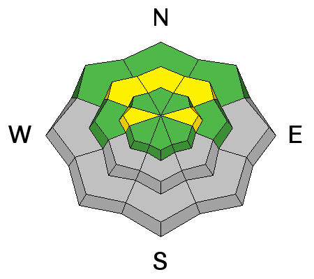
LIKELIHOOD
 LIKELY
UNLIKELY
SIZE
 LARGE
SMALL
TREND
 INCREASING DANGER
SAME
DECREASING DANGER
|
|
description
Widespread buried faceted layers appear dormant now, and dangerous persistent slab avalanches are becoming less and less likely to trigger with time. Even so, avalanches stepping into old snow remain possible on steep slopes, especially those with shallow snow and poor snow structure. We continue to see full propagation and clean, quality 1 shears in some of our test pits, and there have been a couple reports in the past two days of parties triggering large audible collapses or whumpfs in the North Sinks, Swan Flat Rd Area.
|
 |
weather High pressure aloft parked off the west coast will maintain a somewhat moist northwest flow across the Great Basin this weekend. The flow aloft will turn more northerly early next week, allowing a stronger weather disturbance to take aim on Utah early in the week.
|
| general announcements We have discount lift tickets for Alta, Snowbird, Brighton, Solitude, Snowbasin,and Beaver Mountain. Details and order information here. All proceeds from these go towards paying for avalanche forecasting and education! The UAC Marketplace is online. The holiday auction is closed, but our online marketplace still has deals on skis, packs, airbag packs, beacons, snowshoes, soft goods and much more. The UAC has new support programs with Outdoor Research and Darn Tough. Support the UAC through your daily shopping. When you shop at Smith's, or online at Outdoor Research, REI, Backcountry.com, Darn Tough, Patagonia, NRS, Amazon, eBay a portion of your purchase will be donated to the FUAC. See our Donate Page for more details on how you can support the UAC when you shop. Benefit the Utah Avalanche Center when you buy or sell on eBay - set the Utah Avalanche Center as a favorite non-profit in your eBay account here and click on eBay gives when you buy or sell. You can choose to have your seller fees donated to the UAC, which doesn't cost you a penny Episode 3 of the UAC podcast is live. We talk with UDOT Avalanche Program Supervisor Bill Nalli on how he and his teams keep the Greatest Snow on Earth from avalanching over the open roads and highways of the state. Check it out on ITunes, Stitcher, the UAC blog, or wherever you get your podcasts. Now is a great time to practice companion rescue techniques with your backcountry partners. Here's our rescue practice video. EMAIL ADVISORY: If you would like to get the daily advisory by email you will need to subscribe here. Remember your information can save lives. If you see anything we should know about, please help us out by submitting snow and avalanche observations. You can also call us at 801-524-5304, email by clicking HERE, or include #utavy in your tweet or Instagram. This advisory is from the U.S.D.A. Forest Service, which is solely responsible for its content. This advisory describes general avalanche conditions and local variations always occur. |


