| Please join us at the 23rd annual Black Diamond Fall Fundraiser Party Thursday Sept 15. Tickets are on sale now here, at the Black Diamond store & at REI. Special bonus raffle for online ticket purchasers! |
| Please join us at the 23rd annual Black Diamond Fall Fundraiser Party Thursday Sept 15. Tickets are on sale now here, at the Black Diamond store & at REI. Special bonus raffle for online ticket purchasers! |
| Advisory: Abajo Area Mountains | Issued by Eric Trenbeath for Friday - March 25, 2016 - 7:20am |
|---|

|
bottom line Overall, the avalanche danger is generally LOW but unstable snow may exist on isolated terrain features, particularly in upper elevation, steep and radical terrain.
|
 |
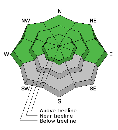
special announcement The Abajo / Blue Mountain advisory provides detailed snow, mountain weather, and avalanche information on weekends. During the week, an overall danger rating will be provided with current condition information available through the weather links below.
|
 |
current conditions Westerly winds on Abajo Peak are in the 15-20 mph range and it's about 15 degrees up there this morning. Look for winds to increase today as a weak storm system on a NW flow moves into the region. Buckboard Flat still has a base depth of 30" and sheltered, north facing aspects have about 4' of coverage but between the wind, sun, and unusually dry February, and as of yet March, things are going fast. Many south facing slopes have melted out entirely and grass and dry spots are appearing on other aspects as well. Most snow surfaces have some degree of melt freeze crust going on, and only the highest, northerly aspects hold any dry snow. Winds, temperature and humidity on Abajo Peak. Snow totals at Buckboard Flat. Snow totals at Camp Jackson.
|
 |
recent activity
|
| type | aspect/elevation | characteristics |
|---|

|
|
LIKELIHOOD
 LIKELY
UNLIKELY
SIZE
 LARGE
SMALL
TREND
 INCREASING DANGER
SAME
DECREASING DANGER
|
|
description
The avalanche danger is mostly low at this time. But low danger doesn't mean no danger and areas of unstable snow may still exist on isolated terrain features.
|
 |
weather A weak storm system on a NW flow will move through the area later today bringing clouds, an increase in winds, and a chance for snow. A second wave will move into the area tonight and tomorrow bringing us a better chance for a few inches of snow. A brief ridge builds on Sunday with another system slated for early next week. Today A 20 percent chance of snow after 4pm. Areas of blowing snow after 4pm. Partly sunny, with a high near 37. Breezy, with a west northwest wind 20 to 25 mph. Tonight A 50 percent chance of snow. Areas of blowing snow. Mostly cloudy, with a low around 16. Blustery, with a northwest wind 20 to 25 mph, with gusts as high as 40 mph. New snow accumulation of 1 to 3 inches possible. Saturday A 50 percent chance of snow. Some thunder is also possible. Areas of blowing snow. Partly sunny, with a high near 26. Blustery, with a north northwest wind 20 to 25 mph, with gusts as high as 40 mph. New snow accumulation of 1 to 3 inches possible. Saturday Night Partly cloudy, with a low around 19. Blustery, with a north wind 15 to 20 mph. Sunday Sunny, with a high near 36. Southwest wind around 15 mph. |
| general announcements Let me know what you are seeing down there by posting an observation here. You can also call me on my cell phone at 801-647-8896 To receive this advisory by email go here. This information does not apply to developed ski areas or highways where avalanche control is normally done. This advisory is from the U.S.D.A. Forest Service, which is solely responsible for its content. This advisory describes general avalanche conditions and local variations always exist. |


