| Please join us at the 23rd annual Black Diamond Fall Fundraiser Party Thursday Sept 15. Tickets are on sale now here, at the Black Diamond store & at REI. Special bonus raffle for online ticket purchasers! |
| Please join us at the 23rd annual Black Diamond Fall Fundraiser Party Thursday Sept 15. Tickets are on sale now here, at the Black Diamond store & at REI. Special bonus raffle for online ticket purchasers! |
| Advisory: Abajo Area Mountains | Issued by Eric Trenbeath for Sunday - February 21, 2016 - 7:43am |
|---|


|
bottom line The overall avalanche danger is generally LOW. But low danger doesn't mean no danger and you should always maintain avalanche awareness, and carefully analyze steep terrain.
|
 |
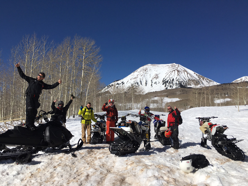
special announcement Hats off to Moab Powersports for stepping up and getting their snowbike riders educated about avalanches. These fellas just completed a 101 course with a nighttime classroom session and a day in the field. Good job guys!
|
 |
current conditions
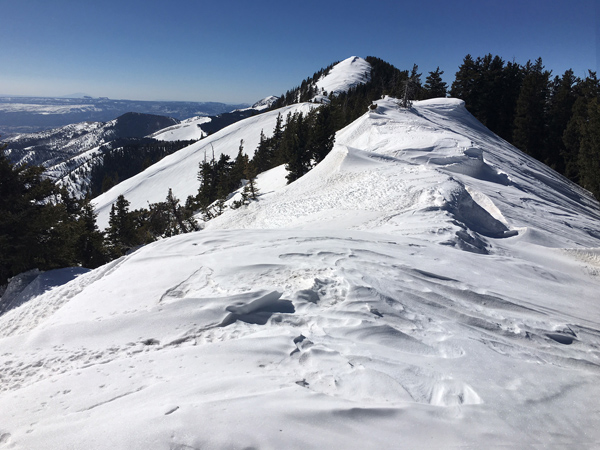
Skies are clear this morning and ridge top winds are in the 10-50 mph range from the southwest. It's a mixed bag of spring like conditions out there and wind, sun, and warm temperatures have taken their toll on the snow surface in most areas.Snow cover ranges from 3-4' deep in sheltered locations, with some sun and wind exposed slopes showing bare ground. It's currently 21 degrees on Abajo Peak and 26 at Buckboard Flat.
Winds have hammered the snow from all directions. Note cornices formed on both sides of the ridge. Winds, temperature and humidity on Abajo Peak. Snow totals at Buckboard Flat. Snow totals at Camp Jackson.
|
 |
recent activity
|
| type | aspect/elevation | characteristics |
|---|

|
|
LIKELIHOOD
 LIKELY
UNLIKELY
SIZE
 LARGE
SMALL
TREND
 INCREASING DANGER
SAME
DECREASING DANGER
|
|
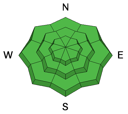
description
The avalanche danger is mostly low in the Abajo/Blue Mountains. But remember that low danger doesn't mean no danger. When you are traveling in the mountains it's always important to have your avalanche glasses on and look for the following potential dangers: Wind Slabs - You may still find an isolated hard wind slab on the lee side of a ridge crest or terrain feature such as a sub ridge or gully wall in upper elevation, wind exposed terrain. Keep an eye out for areas that feel stiff and hollow like a drum. Wet Slides - I've not noticed any signs of wet slide instability for more than a week, even under days with warm sunny skies. But as the day heats up, be alert to signs off instability such as roller balls, pinwheels, or sloppy snow. Persistent/Deep Slabs - I've been digging holes and performing stability tests for two weeks and am finding very strong snow or dormant weak layers, and people have been going into pretty extreme terrain with impunity. But a careful analysis is still important before jumping into any steep, extreme terrain with a northerly aspect.
|
| type | aspect/elevation | characteristics |
|---|
|
|
|
LIKELIHOOD
LIKELY
UNLIKELY
SIZE
LARGE
SMALL
TREND
INCREASING DANGER
SAME
DECREASING DANGER
|
|
description
|
 |
weather Today will be a beautiful day in the mountains ahead of a weak system that will put us under cloudy skies with a sligh chance of snow Monday and Tuesday. High pressure returns on Wednesday. Today Sunny, with a high near 38. Breezy, with a southwest wind 10 to 20 mph. Tonight Mostly clear, with a low around 28. Blustery, with a west wind 15 to 20 mph becoming north northwest in the evening. Winds could gust as high as 35 mph. Monday A 20 percent chance of snow after 10am. Mostly sunny, with a high near 34. Windy, with a west southwest wind 15 to 25 mph becoming north northwest 25 to 35 mph in the morning. Winds could gust as high as 55 mph. Monday Night A 30 percent chance of snow, mainly before 11pm. Partly cloudy, with a low around 16. Blustery, with a north northwest wind around 25 mph, with gusts as high as 45 mph. Tuesday Mostly sunny, with a high near 26. Blustery, with a north northwest wind 20 to 25 mph becoming southeast in the morning. Winds could gust as high as 40 mph. |
| general announcements Let me know what you are seeing down there by posting an observation here. You can also call me on my cell phone at 801-647-8896 To receive this advisory by email go here. This information does not apply to developed ski areas or highways where avalanche control is normally done. This advisory is from the U.S.D.A. Forest Service, which is solely responsible for its content. This advisory describes general avalanche conditions and local variations always exist. |