Observation: Mill B South

Observation Date
1/16/2026
Observer Name
Grainger, Young, Anderson
Region
Salt Lake » Big Cottonwood Canyon » Mill B South
Location Name or Route
Mill B South
Snow Characteristics
Snow Surface Conditions
Dense Loose
Faceted Loose
Wind Crust
Melt-Freeze Crust
Snow Characteristics Comments

The most notable snow characteristics in travels through Cardiff and Mill B South are the settled, stable snowpack throughout the mid and upper elevations and the full spectrum of snow surfaces. Cool high pressure this week has affected solar aspects with roller balls on steep slopes and angle/elevation-dependent thicknesses of melt-freeze crusts. Protected slopes are in the process of weakening the surface snow (near-surface facet and surface hoar formation-Pic 3) but we found less exaggerated surface weakness on many northerly areas above 9000'.

NNW through W winds have worked with terrain influences over the last week to texture many upper alpine areas (Pic 1). Though there are many thin-medium Pencil-hard windslabs in isolated alpine areas (Pic 2), we found them to be very glued into uppers of the 2 drainages, nearly zero likelihood of a human triggering one.

Comments

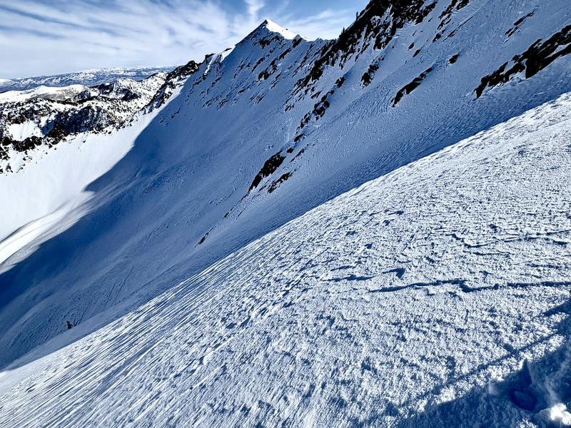
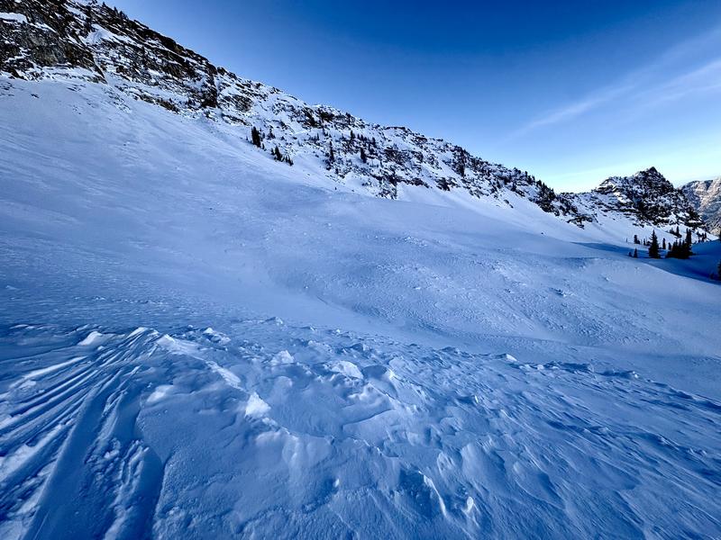
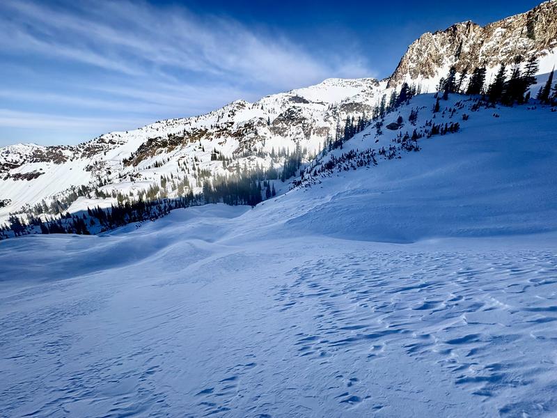
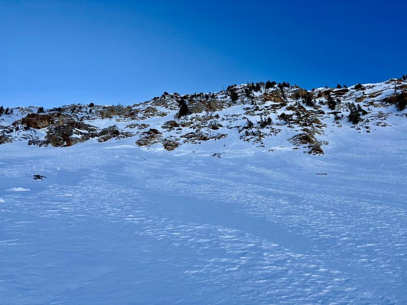
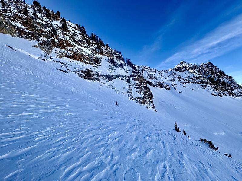
The most interesting scenery was in the Monte Cristo Cirque, where we found evidence of the natural cycle from the first week of January and could see the remnants of crowns that extended across most of the upper drainage's North faces. While many of the crowns were midslope or lower (Pic 7), likely due to the graupel pooling, a lot of the hanging snowfields up to the ridgeline had avalanched on the Christmas layer (Pic 6) and left large, now-obscured debris piles along the toe of the slope, some with tree debris still visible. Based on what was still visible I would guess multiple sizable D2 and D2.5 slides occurred along the headwall during the natural cycle.

Overall, no stability concerns of any kind for the rest of high pressure but it will be important to track surface weakness when the next storm approaches.

Today's Observed Danger Rating
Low
Tomorrows Estimated Danger Rating
Low
Coordinates