Observation: Mineral Fork

Observation Date
1/14/2026
Observer Name
Maushund & Shields
Region
Salt Lake » Big Cottonwood Canyon » Mineral Fork
Location Name or Route
Mineral Fork
Weather
Sky
Clear
Wind Direction
North
Wind Speed
Light
Weather Comments
Another stunner of a high pressure day. Temps hovered around freezing, with a light north wind in exposed terrain. Transport and more moderate winds were observed on the ridgeline near Cardiac.
Snow Characteristics
New Snow Depth
10"
New Snow Density
Low
Snow Surface Conditions
Powder
Wind Crust
Snow Characteristics Comments

You can find almost any surface if you know where to look right now. Most notable was evidence of recent wind loading in exposed N-NE-NW terrain above 8700' post-storm, however textured deposits were up to 2 feet deep, unreactive, and mostly soft. Sun crust on solars, aspect-dependent wind skin up high, and soft, light new snow aplenty.

Red Flags
Red Flags
Wind Loading
Poor Snowpack Structure
Comments

While we closed some specific very high, rocky, thin northerly terrain to start our day, we mostly traveled as if it were and observed LOW danger. We, and past slope testers telling from tracks, were excited about the new snow.

The weakness at the base of the snowpack appeared to be strengthening, as faceted grains continue to round. HS varied between 100-170cm between 8500-9800' E-N-W , with an average of 115cm. From quick observations, the CERC appeared to range from 30-50cm above the ground. The persistent issue continues to trend towards unlikely, with the layer of most concern being the crust/facet combination around the CERC in specific terrain.
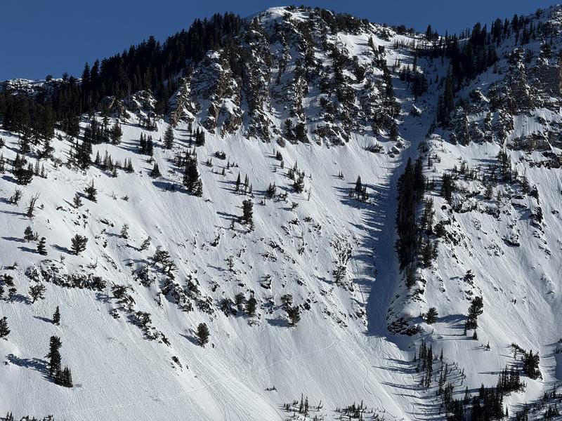
Photos:

#1 Wind transport notable at the head of the drainage

#2 Evidence of recent warming on solars

Today's Observed Danger Rating
Moderate
Tomorrows Estimated Danger Rating
Moderate
Coordinates