On January 7th, I found widespread surface hoar in Butler Fork from the TH to the top of Reynolds. We skied Reynolds Trees and had the fun and loud surface hoar skiing all the way down to 8000', where the good skiing stopped. Another guide found small grain facets in Days Fork drainage the same day. It perked my interest, especially since we have observed avalanches on this layer, buried and preserved in some areas by very low density snow on January 8th. The uncertainty has been around the prevalence and preservation of this weak snow.
In our Level 1 course today, myself and the students observed the following in our snowpits:
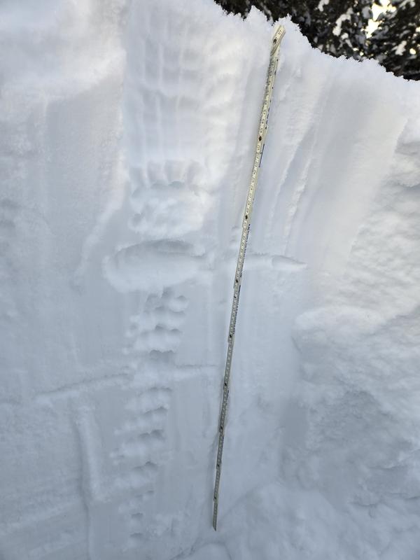
At 9650' on a North aspect, we had HS160m. 90cm down was the CERC, 5cm thick and strong. No reactivity on or below that layer in our tests today.
The low density snowfall from Jan. 8-9 has settled to 25cm. It sits on a weak layer where we dug. While the 90cm of snow from the surface to the CERC is mostly right side up, the new snow progressed to 4F hardness sitting on the F hard thin layer at the new/old snow interface. There are some minor density inversions within the graupel snowfall from January 1-6, but I expect those to settle.
Our stability test results:
- 2x CT12 RP
- 2x CT13 RP
- 1x CT11 RP
- 1x ECTN8
- 2x ECTN12
- 2x ECTN14
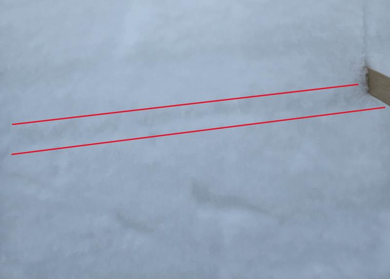
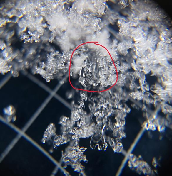
All of these failures were down 25cm, at the weak layer buried on January 8, the old/new snow interface. I identified preserved surface hoar in this layer.
How much faceting do we expect from now until our next storm? And what will happen with this thin weak snow beneath the new snow? While this layer has hardly a load on it, will it be preserved with the next significant loading event?
Jan. 8 layer, seen here at base of popsicle stick:
Grain ID: (surface hoar circled)
Hand hardness: