Observation Date
1/6/2026
Observer Name
Trenbeath
Region
Moab » East Side of Geyser Pass
Location Name or Route
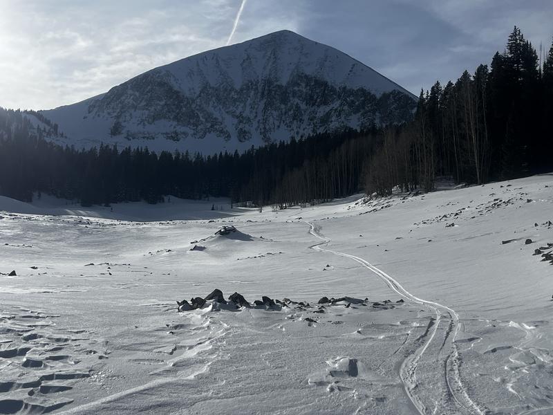
Mount Mellenthin East Cirque - Colorado Bowl - East Ridge
Weather
Sky
Few
Wind Direction
South
Wind Speed
Light
Weather Comments
Beautiful day in the mountains. Still warmer than it should be but much cooler than the sunny days of late. High of 31°F at 10,000' , teens above 11,000'. Almost felt like winter out.
Snow Characteristics
Snow Surface Conditions
Powder
Dense Loose
Wind Crust
Melt-Freeze Crust
Snow Characteristics Comments
It's been three days since our last storm event (10" @ 2.3" SWE) and the snow surface is holding up pretty well considering the continued unseasonably warm temperatures, and 36 hours or so of moderate to strong SW winds. Windward exposed terrain above tree line is wind affected to varying degrees but it's still soft most everywhere else. I only found sun crusts on due south aspects but with today's sunshine I think SW will also be crusted tomorrow. SE aspects still had dry snow above 10,500'. Most south and southwest aspects were melted to the ground prior to the last storm but in spite of recent wind and sun, they are still holding snow, a testament to the high density snow from the last storm.
Wind affected snow on the ridge right at tree line, and the oft scoured north face of Mount Mellenthin.
South facing terrain between Mount Tomasaki (right) and Mann's Peak (distant left).
Red Flags
Red Flags
Wind Loading
Poor Snowpack Structure
Red Flags Comments
I saw evidence of wind loading from Jan 3,4, primarily on north and easterly aspects including some isolated cracking of shallow wind slabs as well as obviously drifted areas. Snowpack structure is poor. Most of the snowpack beneath the Christmas rain crust consists entirely of faceted snow. I did not observe any collapsing or whumphing.
Avalanche Problem #1
Problem
Persistent Weak Layer
Trend
Same
Problem #1 Comments
As usual, a persistent weak layer problem of basal faceted snow has developed. The basal snow fell during two separate storm events in mid and late November after which high pressure and dry conditions ensued. On Christmas the mountains received 0.5" of rain forming a cap crust over the facets. The New Years storm put 10" at 2.3" SWE on top of that. In spite of the poor structure, stability tests have been generally non reactive but today I scored an ECTP23 on basal facets. We also got an observation yesterday with a score of ECTP7. We have received reports of collapsing but I've experienced none myself.
Extended column test results ECTP23.
Avalanche Problem #2
Problem
Wind Drifted Snow
Trend
Decreasing Danger
Problem #2 Comments
Although I observed wind loaded areas and a few isolated cracks, I feel like this problem has largely run its course. There may still be some isolated unstable areas up high.
Snow Profile
Aspect
Northeast
Elevation
11,000'
Slope Angle
24°
Comments
Our overall snowpack is shallow but travel is easier than it should be due to the supportability of the Christmas rain crust which keeps you up out of the facets. The strength and thickness of the crust seems to be the key to "stability" and I don't trust it as the underlying snowpack is loose, weak, and faceted. The bullseye zone for danger appears to be on northerly aspects right around tree line where the crust is thinnest. Above treeline, many slopes were scoured out or have very hard wind slabs. Below treeline, the rain crust is thicker in many areas. But the bottom line is, we have our usual basal facet weakness, and it's not something I'll be trusting for awhile.
Low tide but a supportable crust under the surface.
Today's Observed Danger Rating
Moderate
Tomorrows Estimated Danger Rating
Moderate
Coordinates