Observation: Funnel

Observation Date
1/5/2026
Observer Name
Ryan Huels
Region
Moab » Laurel Highway » Funnel
Location Name or Route
The Funnel
Weather
Sky
Overcast
Wind Speed
Moderate
Weather Comments
Low clouds and visibility all day near and above tree line with moderate winds out of the SW with strong gusts up to 30mph. Snow was actively being transported onto leeward slopes throughout the day and tracks were constantly filled. Off and on light snow fall with short bursts of heavy snow. It was hard to tell with the wind, but very little snow accumulated during the day. A mostly sunny and warm Tuesday on tap followed by dropping temperatures and chance of snowfall Wednesday-Thursday as a system comes from the north. Then, a long period of high pressure and clear/sunny skies.
Snow Characteristics
New Snow Depth
4"
New Snow Density
Medium
Snow Surface Conditions
Powder
Wind Crust
Rain-Rime Crust
Snow Characteristics Comments

The new snow seems to have settled into 4-6” of floaty, fast and supportable snow for turning near and below treeline. Above treeline and on ridges the snow is affected by weather with a mix of soft snow, hard wind affected snow, and a thin rime/wind crust. The wind was actively moving snow around all day, filling in tracks and transporting onto NW-NE-E aspects. I found soft and fun turns on S/SE, W and NE facing aspects. SE aspects are still thin, and SW/W aspects were soft but more wind affected nearing treeline. Overall, conditions were the best of the season and the Christmas rain crust was still supportable for travel and turning.

Red Flags
Red Flags
Wind Loading
Poor Snowpack Structure
Red Flags Comments
Wind loading onto NW-N-E aspects throughout the day. Poor snowpack structure still exists on northerly aspects with weak, faceted snow underneath the Christmas rain crust. The snowpack wasn’t talking much today and I only observed isolated cracking involving wind affected snow.
Avalanche Problem #1
Problem
Wind Drifted Snow
Trend
Increasing Danger
Problem #1 Comments

New and wind drifted snow loaded northerly aspects with winds out of the SW today and will continue to do so the upcoming days. Weak snow still exists here and it is difficult to tell how much of a load the rain crust will be able to support

Avalanche Problem #2
Problem
Persistent Weak Layer
Trend
Same
Snow Profile
Aspect
West
Elevation
11,300'
Slope Angle
27°
Comments

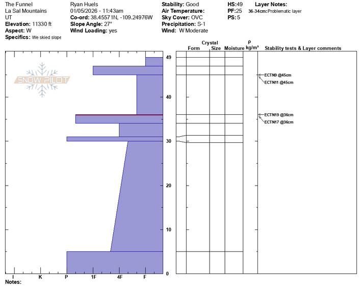
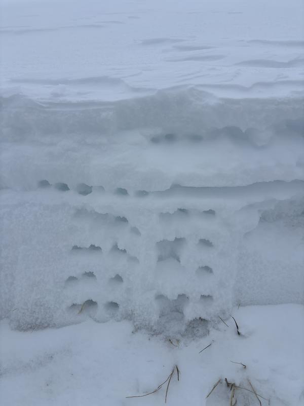
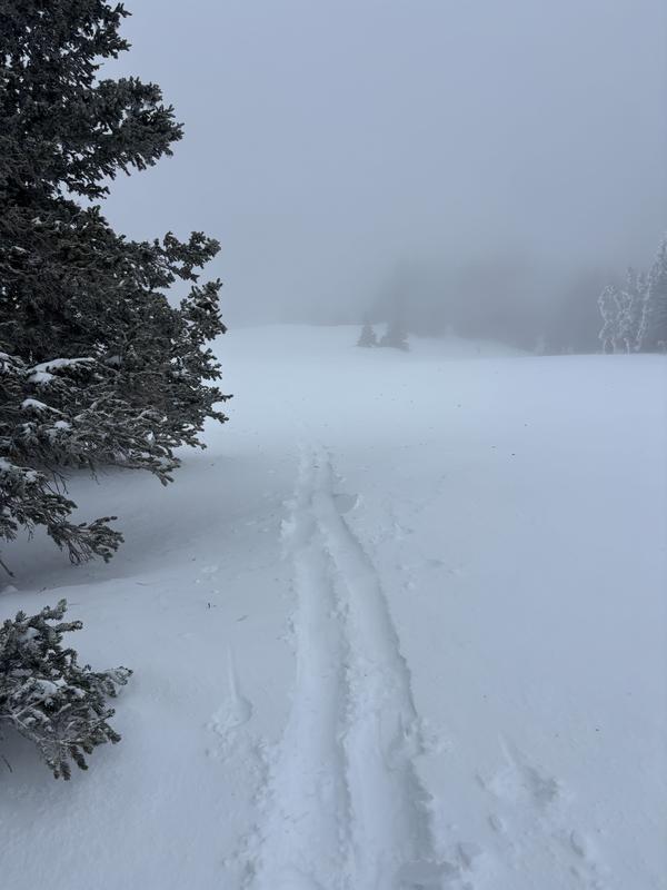
A snow pit at 11330 on W facing terrain just above treeline with no propagation results in an extended column test. Snow depths ranged from 45-55cm here.

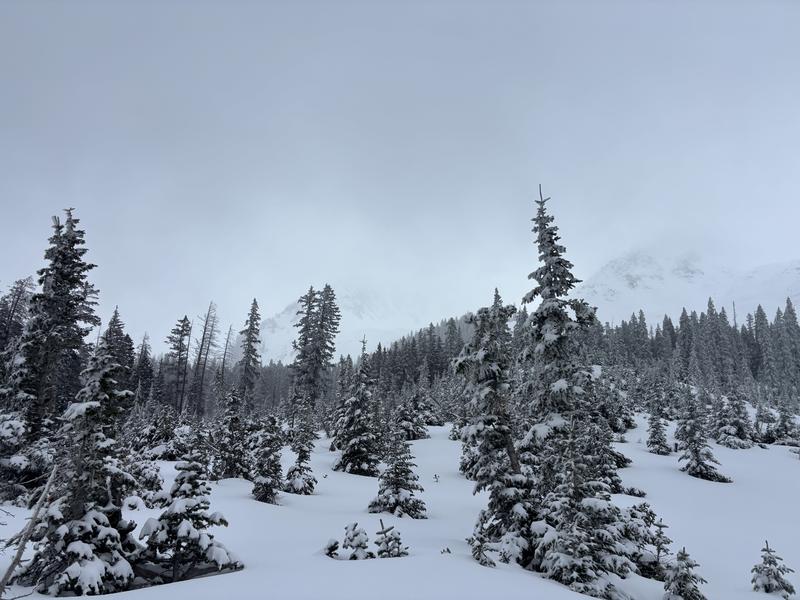
Thin conditions on S/SE aspects along with isolated protected areas on the same aspect with deep drifts up to 2+ feet.

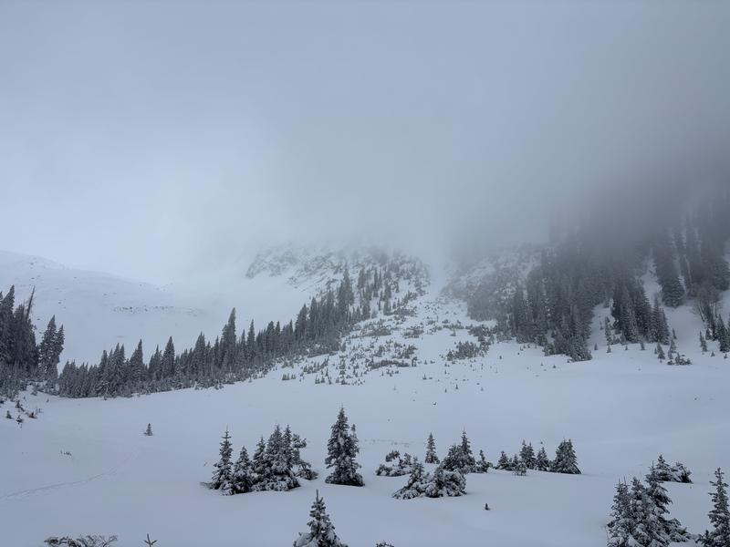
Isolated cracking from the wind affected snow

Today's Observed Danger Rating
Moderate
Tomorrows Estimated Danger Rating
Moderate
Snow Pilot URL