Observation: Home Run

Observation Date
1/4/2026
Observer Name
Climaco
Region
Salt Lake » Park City Ridgeline » Home Run
Location Name or Route
Home Run Bowl
Weather
Sky
Overcast
Precipitation
Moderate Snowfall
Wind Direction
Southwest
Wind Speed
Moderate
Weather Comments
Viz about 1.5 miles this afternoon as things picked up on the ridgeline.
Snow Characteristics
New Snow Depth
4"
Snow Surface Conditions
Powder
Dense Loose
Snow Characteristics Comments

Whatever fell in BCC was making its way over to PC all day. Moderate but steady winds with higher gusts were moving a considerable amount of snow onto the E facing slopes today. The snow was lighter than the last couple days but still fairly heavy, with the wind whipping it into yet another stiff merengue.

Red Flags
Red Flags
Wind Loading
Cracking
Poor Snowpack Structure
Red Flags Comments
I experienced some modest cracking today which was new over the past week. In addition to the CERC there appears to be a very thin weak layer at an out 77cm, above the ground; this is the old snow/new snow interface. It was a bit difficult to say what this was, but soft slabs broke on it when tested with a shovel, and my ECT also propagated on it. Definitely of note for steeper slopes, and as these lee slopes further load overnight.
Avalanche Problem #1
Problem
Wind Drifted Snow
Trend
Increasing Danger
Problem #1 Comments

I think this is the biggest issue right now. I found the CERC unreactive today but I was able to get the upper part of the snowpack to collapse. Tracks were filling in significantly between mini-golf laps which tells me a lot of weight is coming onto the system.

Avalanche Problem #2
Problem
Persistent Weak Layer
Trend
Increasing Danger
Problem #2 Comments

The CERC is still down there. While I didn’t get a failure in the ECT, I did get the snowpack above the CERC to settle with a “whumph” as it collapsed the facets above the crust. Maybe with a slightly steeper slope, or with a thin section of the crust, things would turn out differently? I think with all the new weight being added tonight this deserves caution.

Snow Profile
Aspect
East
Elevation
9,300'
Slope Angle
27°
Comments

Skiing was very surfy. 85cm total snow depth

Test slope of 27° facing 90° east @9310’

CERC sits at 45 above the ground, facets below the crust are crushing out nicely. But, 40cm of heavy wet snow sits atop this thing now, with lots more on the way

ECT: Propagation at 18 at 67 cm on what appears to be the new Snow/old Snow interface although I did not observe any facets there.

PCT 29 the snow pack above the CERC collapsed onto the crust, but the column did not move.

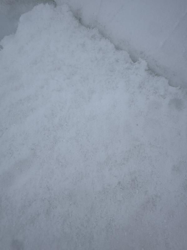
To me it feels like you’re fairly likely to move the upper snowpack on the new snow interface and this alone could be problematic. And while the CERC seems pretty stout, the collapse I induced showed me the new snow is still sitting on a weak and areated layer of facets (see photo). Bottom line: I think things could be movin’ and groovin’ tomorrow, and not in a sexy way.

One last thing was the rollerballs I noted on the S facing aspect at about 9000’. Not really a problem but pretty odd in January.

Today's Observed Danger Rating
Moderate
Tomorrows Estimated Danger Rating
Considerable
Coordinates