Travel today was up Butler Fork to Butler Basin, from elevations of 7100 to 9800 feet and primarily on east, northeast, and north facing slopes. The current price of admission is hiking up the icy (in the morning) and muddy (in the afternoon) hiking trail to about 8000 feet, with easy travel on skis above there. Was most interested in investigating the thickness of the Christmas Eve rain crust (CERC) as it seems this has lots of spatial variability particularly in the transition zone between mid and upper elevations (9500-10000 feet.) I found the crust to be stout and thick (about 10cm) up to 9500 feet but its thickness seemed to decrease above that elevation. I dug a quick pit at 9700 feet in a shallower, rocky area (HS 2.5 feet) and found the crust to be much thinner, with faceted snow underneath. The faceted snow was damp and easy to make snowballs with as mentioned above. Snow seemed very well bonded to the CERC in areas traveled today, and any density changes in the new snow seemed to have settled out.
Snow coverage on polar aspects is starting to get decent above 8500 feet or so, south facing slopes in the area are a different story with rocks, bushes, and not enough snow to safely ski or ride yet.
Temperatures warmed throughout the tour and had an effect on all aspects, with north aspects becoming creamy and preexisting crusts softening on solar aspects. Guessing that the new snow tonight will bond well to the pre-existing surface with the warm temperatures and damp snow surfaces today, although listening to the winds cranking in the valley as I write this observation (6:40pm) would not be surprised if this is not the case in areas that have snow available for transport!
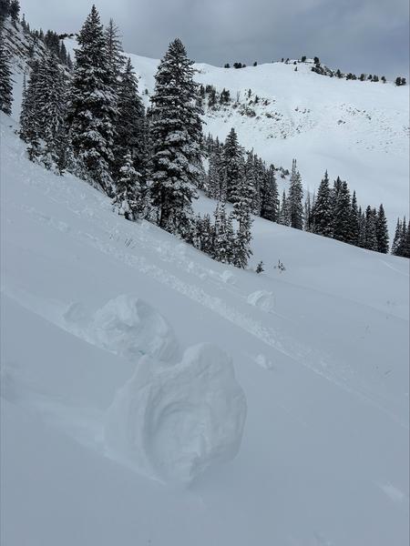
Photo 1: Shows large roller balls (on a NE aspect at 9300 feet!)
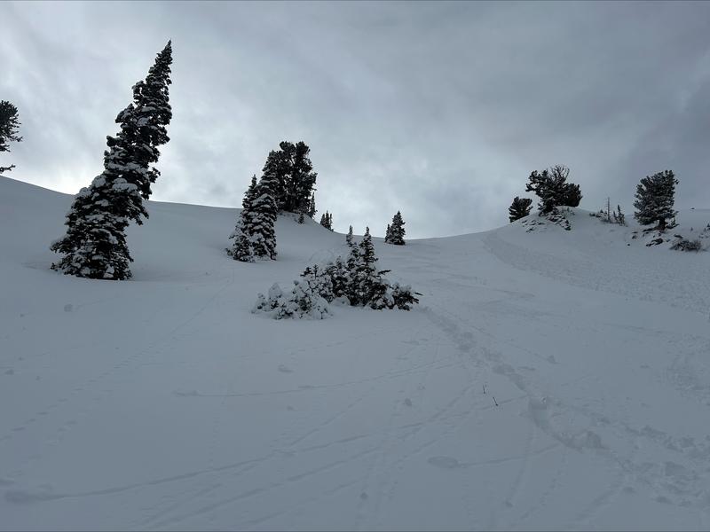
Photo 2: Creamy turns in between the roller ball war zones