Observation: Scott Hill

Observation Date
1/2/2026
Observer Name
Maushund, Talty
Region
Salt Lake » Park City Ridgeline » Scott Hill
Location Name or Route
PC Ridgeline / Scott Hill
Weather
Sky
Obscured
Precipitation
Light Snowfall
Wind Direction
South
Wind Speed
Moderate
Weather Comments
You could've fooled me that we were in the Cascades today: socked in skies throughout most of the day, with warming, sticky(humid) air. At its worst, vis was <60'. Light snowfall tapered off by 11:00. Snow remained on trees in the mid-morning, but with very brief breaks of sun and a 200-500 foot lift of the cloud deck at times, the snow was shedding on our descent early afternoon. Temps hovered just below freezing and increased slightly into the afternoon, and winds were moderate at ridgeline out of the south.
Snow Characteristics
Snow Surface Conditions
Powder
Dense Loose
Snow Characteristics Comments

6-10 inches of new dense, heavy storm snow on the surface when we left the truck. There was a density change within the storm snow, about midway into HST. Snow surfaces were started to warm and moisten on our exit in the early afternoon.

Red Flags
Red Flags
Wind Loading
Poor Snowpack Structure
Avalanche Problem #1
Problem
Persistent Weak Layer
Problem #1 Comments

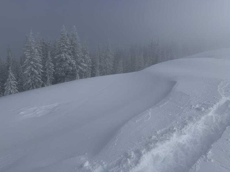
Triggering a slab avalanche on a PWL—the weak snow below the Christmas Eve Rain Crust (CERC)— is unlikely (but not impossible). Snowpit tests left us with letters and numbers as results, but the fact of the matter is that in most locations, the CERC is stout and supportable enough to not allow for a rider to trigger an avalanche on the weak snow below the surface. The new snow above the CERC, which has had varying success bonding across the Salt Lake zone, is the main concern for triggering avalanches.

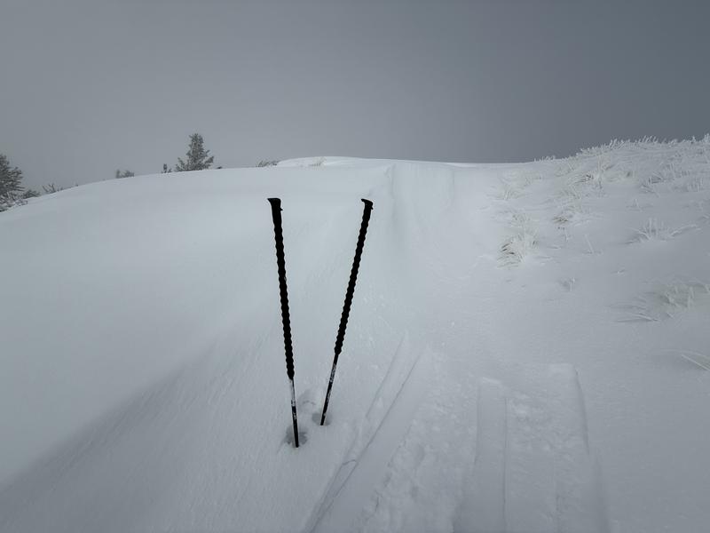
As Drew would say, THE FINE PRINT: concerningly weak snow still exists at the base of the snowpack. Mack and I observed easy fracture initiation on weak snow at the ground on one compression test (CT6), but then got both no initiation or propagation on one ECT (ECTX)...before receiving an ECTP30 with full propagation at the ground on a second test. Scratching your head? Exactly. This, along with all obs since the CERC was buried, and recent activity (or lack there of) on the PWL leads us to conclude that it is unlikely to trigger a PWL avalanche on most slopes. However, if you find the wrong spot, most likely in high, rocky, thin, northerly terrain, it remains possible.

Avalanche Problem #2
Problem
Wind Drifted Snow
Problem #2 Comments

While the wind yesterday and today certainly transported new snow and built fresh wind deposits (see photos below), the new snow appeared to be bonding moderately well. All deposits we observed above ridgeline were soft in character and unreactive. We did not get a single crack or collapse while stomping along on wind pillows. While I believe the slickness of the CERC will be host to reactive wind slabs in pockety terrain elsewhere, we did not observe these in our travels along the PC Ridgeline—which was a surprise to us. We also noted that despite the amount of new snow, there was less snow available for transport even with sustained loading speed winds, likely due to the density of the snow and the temperature it fell at.

Snow Profile
Aspect
Northeast
Elevation
9,900'
Comments

1. Fresh wind deposits along ridgeline

2. Mack in the milk bottle.

3. Obvious signs of wind scouring (left) and wind loading (right)

4. Wind drift of new snow at ridgeline.

Today's Observed Danger Rating
Moderate
Tomorrows Estimated Danger Rating
Moderate
Coordinates