Observation: High Creek

Observation Date
4/18/2024
Observer Name
Schumacher
Region
Logan » High Creek
Location Name or Route
High creek
Weather
Sky
Few
Wind Direction
Northwest
Wind Speed
Light
Weather Comments
Started cold and clear in the AM with a calm breeze out of the NE. Throughout the day the cloud cover and wind increased and shifted WNW. Warm day, but the cool breeze and intermittent cloud cover kept things feeling nice and surface warming at bay. Ice was still on log- bridge crossings by noon.
Snow Characteristics
Snow Surface Conditions
Powder
Melt-Freeze Crust
Rain-Rime Crust
Damp
Snow Characteristics Comments
All elevations and aspects got a solid refreeze last night. Throughout the day, I could not get my pole to penetrate past the refrozen crust, even with surface warming.
Surface conditions on solar aspects were generally 1-2" of damp, buttery snow sitting on a hard, but edgeable crust. Polar aspects were either frozen solid, or, on protected upper elevations, had 1-2" of dry wind blown snow sitting on top of the crust.
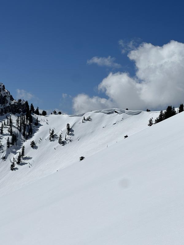
Some large cornice formation was noted on East and NE aspects.
Ski penetration throughout the day was 0-2cm while boot pen was 0-10cm. Polar aspects at low elevations were still rock solid by noon.
first signs of snow in very protected polar areas was at about 5800' and I was able to stay mostly on snow above 6000'.
Red Flags
Red Flags Comments
No red flags observed today.
Avalanche Problem #1
Problem
Wet Snow
Trend
Same
Problem #1 Comments
Small wet loose activity was likely possible in very steep, rocky solar terrain by end of the day. Observed a decent sized wet slide from the last cycle (pictured)
Today's Observed Danger Rating
Low
Tomorrows Estimated Danger Rating
Low