Observation: Cardiac Bowl

Observation Date
3/7/2023
Observer Name
Kelly, Thompson, Mikhalev
Region
Salt Lake » Big Cottonwood Canyon » Cardiff Fork » Cardiac Bowl
Location Name or Route
Cardiff Fork
Weather
Sky
Scattered
Wind Direction
Southwest
Wind Speed
Calm
Weather Comments
Winds were calm-light from the west southwest. Winds picked up around 200pm gusting to moderate. Skies were mostly scattered clouds although later in the afternoon Upper LCC socked in for a bit. There some periods when the sun came out strong enough to greenhouse the southerly aspects. We noted greenhousing (warming of the snow surface even with cloud cover on southeast aspects).
Snow Characteristics
New Snow Depth
3"
New Snow Density
Medium
Snow Surface Conditions
Powder
Snow Characteristics Comments
Quick pits showed an old/new interface 3' below the snow surface. There was approximately 3-4" new snow on the surface. Soft snow conditions on all aspects and elevations from 8600'-11,000'. You could still feel a spongy layer above the interface on lower angle slopes on north facing terrain similar to what we found on south facing terrain on Sunday. Some greenhousing on southeast aspects later in the afternoon. This is worth noting as it was a quick re-freeze and I will be digging down to see if this crust is intact after this weekends snowstorm.
Photo of east facing snow surface with west facing terrain in the backdrop. Coverage is exceptional!
Red Flags
Red Flags
Recent Avalanches
Heavy Snowfall
Red Flags Comments
There were signs of recent avalanches under the 3-4" of new snow. It appeared that northerly aspects had a natural cycle most likely occurring during the storm event on Sunday as there was evidence of natural activity under the newest snow.
Avalanche Problem #1
Problem
New Snow
Trend
Decreasing Danger
Problem #1 Comments
We noted some point releases (new dry loose avalanches) on terrain steeper than 40˚ degrees.
Avalanche Problem #2
Problem
Wind Drifted Snow
Trend
Decreasing Danger
Problem #2 Comments
We noted very large cornices on the leeward side of ridge-tops facing east-north. We stayed back from these cornices as they were overhanging steep terrain. We did not note any cracking or collapsing within the wind-drifted snow and were looking for wind-drifted snow pockets with the forecasted increase in wind speeds.
Photo of Cornice on north facing slope at 10,000'
Snow Profile
Aspect
Northwest
Elevation
10,500'
Slope Angle
37°
Comments
Extended Column Test with no propagation. Old/new interface was 3' from the surface.
We noted no cracking or collapsing in the areas we traveled. We stuck to terrain below 30 degrees on southerly facing slopes as we had concerns with recent avalanche activity on solar aspects. The Tuscarora avalanche stands out in my mind and we avoided steep southerly facing terrain because of this slide. Today was a day when we treated steep terrain as suspect until proven otherwise and traveled tentatively and did our due diligence before committing to steeper north facing slopes.
Today was a good day to assess and re-assess before committing to any steep terrain.
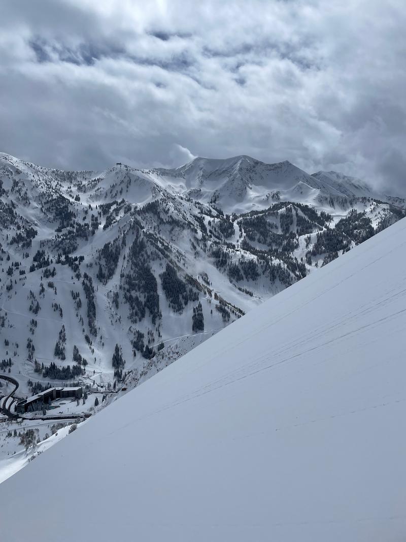
Photo of clouds in/out late afternoon with southerly facing slope in the foreground.
Today's Observed Danger Rating
Considerable
Tomorrows Estimated Danger Rating
Moderate
Coordinates