Observation Date
2/21/2023
Observer Name
Kelly, Hygon, Hygon
Region
Salt Lake » Big Cottonwood Canyon » Silver Fork
Location Name or Route
Silver Fork
Weather
Sky
Obscured
Precipitation
Moderate Snowfall
Wind Direction
Southwest
Wind Speed
Strong
Weather Comments
Winds picked up south-southwest around 1230.
Snow Characteristics
New Snow Depth
5"
New Snow Density
Medium
Snow Surface Conditions
Powder
Melt-Freeze Crust
Snow Characteristics Comments
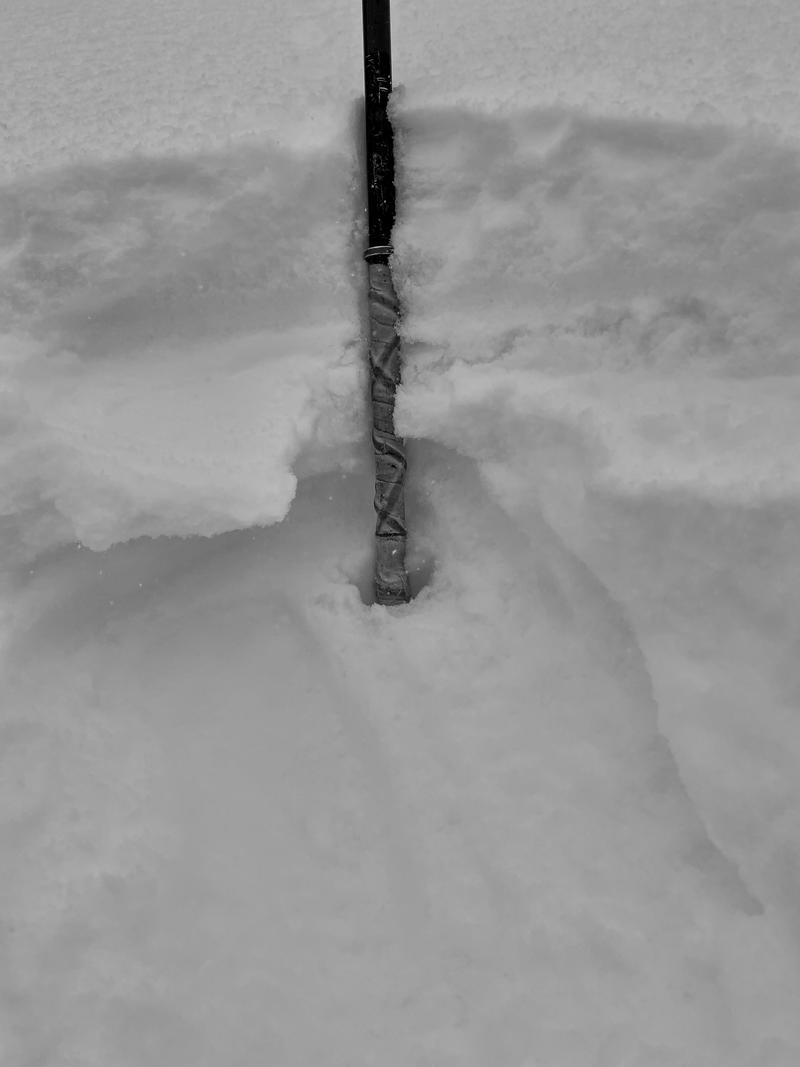
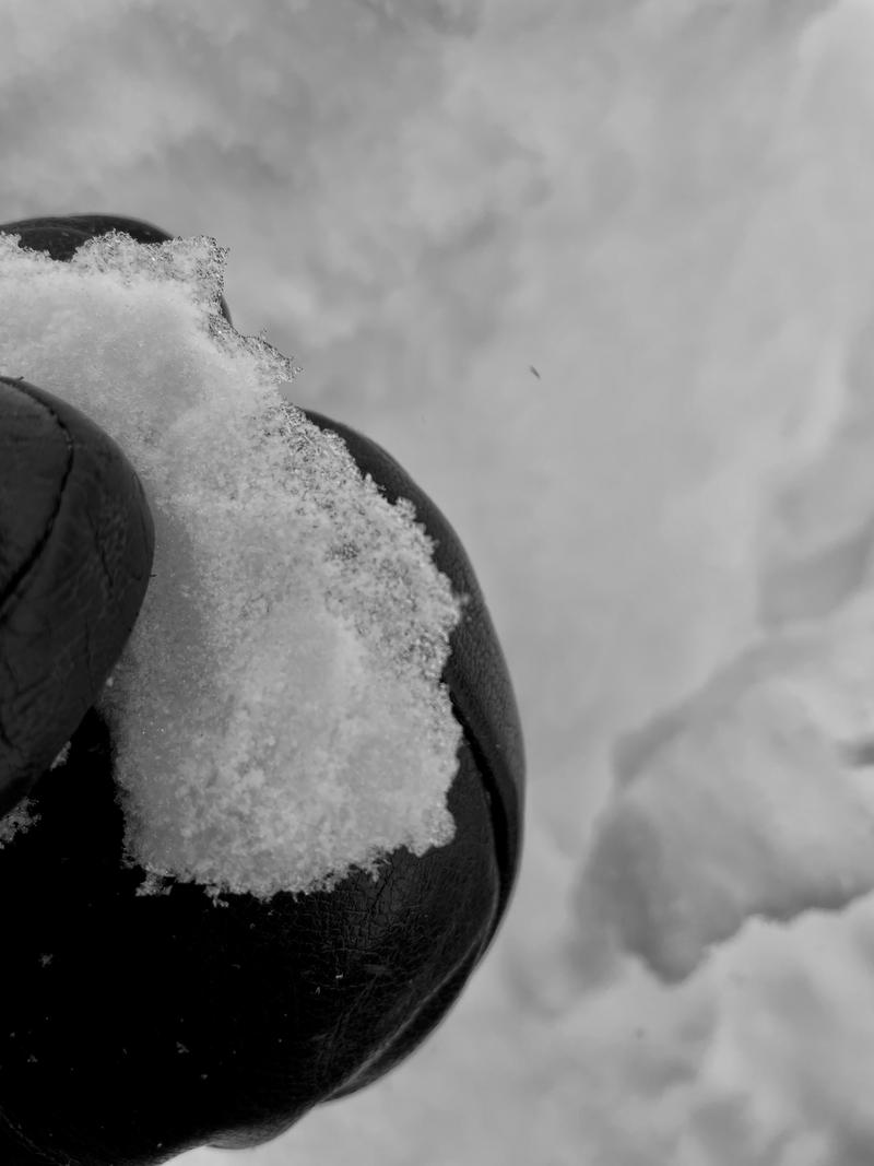
Good skiing on 4-6" of new snow. North facing was softer skiing surface with long running sloughs on terrain over 35 degrees isolated to the new/old snow interface. A rime crust 4" +/- below the surface. Shovel tilt test with 30x30 block had clean shears above the rime crust, extended column test did not have propagation. I think that this rime crust will not continue to be a problem after the storm, but I will be watching to see if it is intact anywhere post storm.
There is rising avalanche danger with the forecasted snow and wind. Check out
Drew's Blog from a few years ago on Elbert Despain's Rule for handling storm snow avalanches.
Red Flags
Red Flags
Heavy Snowfall
Wind Loading
Avalanche Problem #1
Problem
New Snow
Trend
Increasing Danger
Problem #1 Comments
Photo of new snow avalanche in terrain over 35 degrees on an north facing slope. Entrained new snow.
Avalanche Problem #2
Problem
Wind Drifted Snow
Trend
Increasing Danger
Problem #2 Comments
Photo of cross-loaded wind-drifted avalanche (east facing slope at 9400'). Ran on melt-freeze crust.
Snow Profile
Aspect
Southeast
Elevation
9,700'
Slope Angle
31°
Comments
ECTN results on the small grained near surface facets with no results with ski cuts on this layer. Breaking around the skis on the rime crust, but not going anywhere down slope.
Photo of rime crust under new snow.
Photo of rime crust
Today's Observed Danger Rating
Moderate
Tomorrows Estimated Danger Rating
Considerable
Coordinates


