
Observation Date
11/6/2022
Observer Name
Staples
Region
Salt Lake » Little Cottonwood Canyon » Wolverine
Location Name or Route
Mt Wolverine
Comments
Few avalanche concerns today, and the main focus is on the upcoming storm(s). Snowfall is expected Monday evening through Thursday morning. I expect all avalanche problems this week will be related to snowfall and winds.
I went looking for buried facets. Snowfall from around Oct 24 had about 5 days with clear cold nights that created some facets on the snow surface. A combination of factors has likely prevented these facets from becoming a major issue. (1) They didn't have a chance to develop fully. (2) When snowfall returned on Nov 2, warm air temperatures and cloudy skies helped the new snow bond to the partially formed facets. Since then any buried faceted layers have been insulated by snowfall containing about 2 inches of water which is a nice blanket.
There may be a few areas of facets that could be reactive when snowfall comes this week. It will be overshadowed by instabilities from heavy snowfall and high winds. After the dust settles at the end of the coming week, I expect that the snowpack should be fairly stable.
Profile below from Patsey Marley, N facing, 10,250 ft

Profile below from pit in Wolverine Bowl, ENE facing, 10,700 ft. In many places there is a very hard layer (from warm temps) that is sitting on softer snow. Some tests fail on this layer, but it is overall warm and not a major concern. I suspect there are places where this layer is slightly more faceted but those places should be isolated.
Graph underneath pit profile is from the Snowbird SNOTEL site. The black line is precip this year, and the red dashed circle is the period of 5 clear nights when some faceted occurred (a flat line means it wasn't snowing).


Video
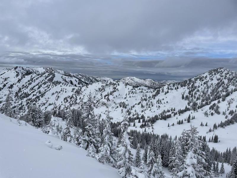
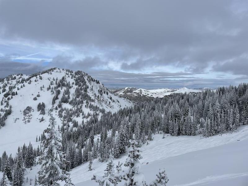
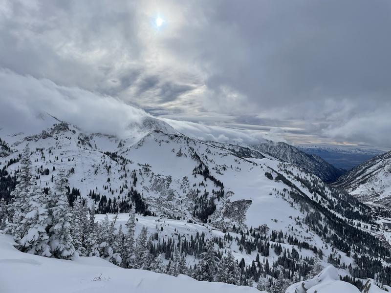
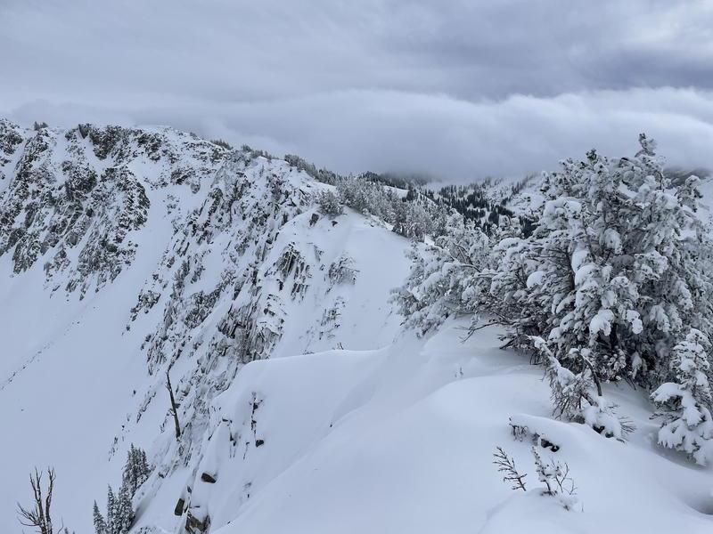
Photos of surrounding mountains and snow coverage. Along ridge lines, there was no evidence of recent winds blowing snow. However, winds blew plenty strong about 4 days ago,
Today's Observed Danger Rating
Low
Tomorrows Estimated Danger Rating
Moderate
Coordinates


