Fall Auction is now live! Check it out now

Observation: Whiskey Creek

Observation Date
2/16/2022
Observer Name
Snavely
Region
Uintas » Whiskey Creek
Location Name or Route
Whiskey Creek
Weather
Sky
Overcast
Precipitation
Light Snowfall
Wind Direction
Northeast
Wind Speed
Light
Weather Comments
A hint of sun mid-morning between stronger pulses snow throughout the afternoon. Generally light snowfall with brief periods of S1/S2. Light winds increasing to moderate in the afternoon from the N/NE.
Snow Characteristics
New Snow Depth
6"
New Snow Density
Low
Snow Surface Conditions
Powder
Snow Characteristics Comments
4 inches overnight on 2/15, with another two throughout the day on 2/16.
Red Flags
Red Flags
Poor Snowpack Structure
Red Flags Comments
New snow fell on a crust above a 12cm layer of fist hard near surface facets. This crust was 2cm thick in this location, but was highly variable on this slope based on shading and aspect.
Avalanche Problem #1
Problem
Wind Drifted Snow
Trend
Same
Problem #1 Comments
With so much light density snow available for transport, I would expect to see new wind drifted snow anywhere that is exposed to the increasing N/NE winds overnight tonight.
Avalanche Problem #2
Problem
New Snow
Trend
Decreasing Danger
Problem #2 Comments
Expecting to see up to 9'' of new snow in the field which has fallen on a variety of surface conditions from our extended period of high pressure.
Snow Profile
Aspect
East
Elevation
9,700'
Slope Angle
22°
Comments
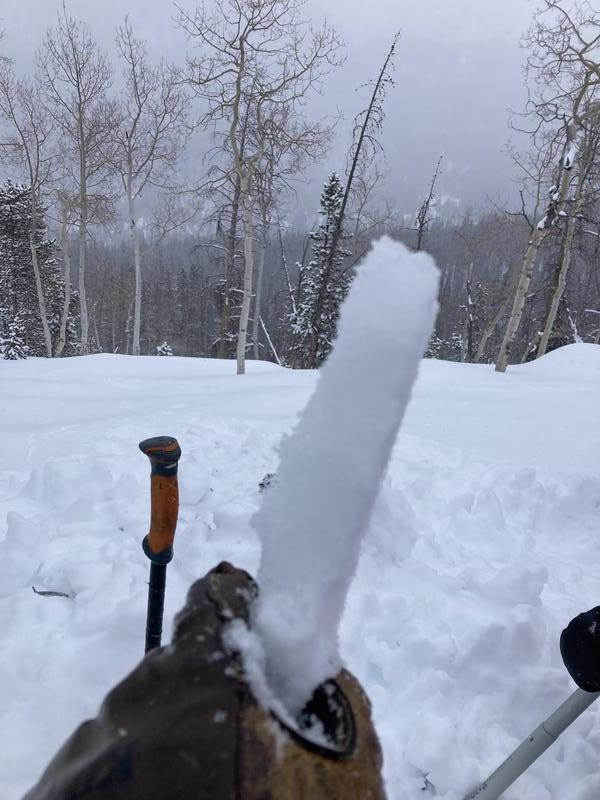
The new snow from this storm currently lacks the cohesion to be considered a slab in places unaffected by the wind; this could change with more snowfall or a change in temperature. As mentioned by Bo Torrey, the variability of the crust on certain aspects (under the new snow) could make for tricky decision making as we move into what may potentially be a larger storm cycle on Monday.
Today's Observed Danger Rating
Low
Tomorrows Estimated Danger Rating
Moderate