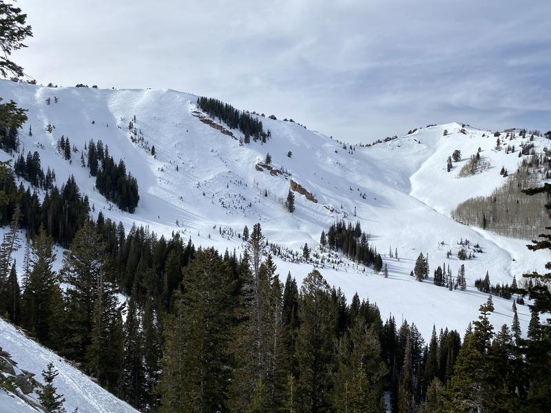
I walked the Park City ridge from Dutch Draw to Guardsman's pass to look at the snow surfaces in many of the starting zones along the PC ridge. I found near-identical surface conditions to what Grainger, E. Hanson found yesterday 2/14 in White Pine (their observation
here) and what Mark Staples found last week on Mt. Watson in the Uinta's (observation
here) The many different snow surfaces have made for variable skiing over the last few weeks. If you've been out recently you've probably experienced a couple of soft-ish turns here and there followed by a couple of sketchy turns in breakable crust.
The varying thickness of the crusts on or just below the snow surface will make for irregular avalanche patterns as snow accumulates. The slopes with no crust or a thin crust won't be able to hold much snowfall or wind loading before avalanching, while slopes with a thicker crust will be able to withstand more snowfall and wind loading. Stability may be hard to determine for a specific slope given the current variability of the snow surface across any given slope. Digging might give you an idea of how thick the crust is but it might also give you a false sense of stability and be completely different just a 50 ft. away where the crust may be thinner or nonexistent. Skiing in the trees won't be a perfect exit strategy either, since the slopes protected from the wind and sun are where some of the weakest snow exists.
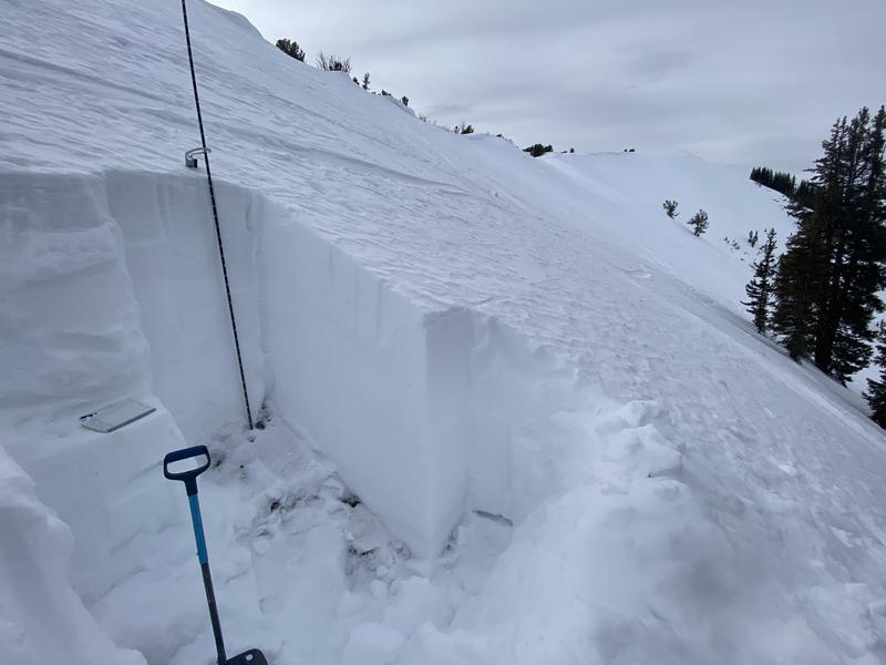
I only dug one detailed snow pit (shown below) but dug dozens of quick hand pits and found weak snow on or just below the surface on each steep slope facing west through, north, through east. I'm not sure about southeast-facing slopes, sort of a mixed bag of thin crusts with loose facets below on some slopes and thick damp m/f crusts on others. On southwest and south-facing slopes, I found damp surface snow that was beginning to solidify into a 3 to 5-inch thick melt-freeze crust as I was exiting.