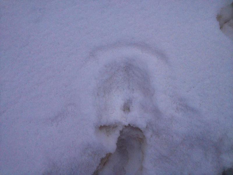
I've spent a bit of time in the Provo region over the last few days. The snowpack structure varies quite a bit between areas that have an overall shallow snowpack and areas that have a deep snowpack.
The north side of Mt Timpanogos got shorted on snow during the last storm where Provo Canyon faired quite well. The result is a very weak snowpack in the thinner north facing Timp area with the entire snowpack becoming unsupportable in a number of areas.
Drainages out of Provo Canyon have a much deeper snowpack and thus a much stronger overall snowpack albeit you can always find some areas where things are shallow, faceted and weak.
The biggest concern is how the current weakening snow surface will behave once it gets buried. Near Surface Faceting has been occurring throughout our entire forecast region regardless of the overall depth. The surface has become weak enough to produce loose snow avalanches on the steeper more sustained slopes that face west through north through east.
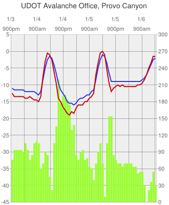
Here is a dataset from temperature sensors measuring the gradient (difference in temperature) between just under the snow surface (red) and 2cm below that (blue) in Celsius read on the left of the chart. The green bars are the gradient in Celsius per meter read on the right of the chart. This shows a significant gradient has been occurring which is what is driving the snow surface to facet or become weak.
Snow surface conditions at "Faceplant Snow Study Plot" (Provo Canyon, 5000', flat aspect) include loose near surface facets, some surface hoar and a skiff of new low density snow.